50 Patriots Way Raymond, NH 03077
Estimated Value: $366,000 - $455,000
2
Beds
2
Baths
1,665
Sq Ft
$236/Sq Ft
Est. Value
About This Home
This home is located at 50 Patriots Way, Raymond, NH 03077 and is currently estimated at $393,296, approximately $236 per square foot. 50 Patriots Way is a home located in Rockingham County with nearby schools including Lamprey River Elementary School, Iber Holmes Gove Middle School, and Raymond High School.
Ownership History
Date
Name
Owned For
Owner Type
Purchase Details
Closed on
Nov 29, 2023
Sold by
Rothmund David R Est and Syrek
Bought by
Beilman Robert and Giordano Mary E
Current Estimated Value
Purchase Details
Closed on
Jul 6, 2009
Sold by
Hammond Russell
Bought by
Rothmund David R and Rothmund Juliane A
Home Financials for this Owner
Home Financials are based on the most recent Mortgage that was taken out on this home.
Original Mortgage
$128,205
Interest Rate
4.86%
Mortgage Type
Purchase Money Mortgage
Create a Home Valuation Report for This Property
The Home Valuation Report is an in-depth analysis detailing your home's value as well as a comparison with similar homes in the area
Home Values in the Area
Average Home Value in this Area
Purchase History
| Date | Buyer | Sale Price | Title Company |
|---|---|---|---|
| Beilman Robert | $345,000 | None Available | |
| Rothmund David R | $180,000 | -- |
Source: Public Records
Mortgage History
| Date | Status | Borrower | Loan Amount |
|---|---|---|---|
| Previous Owner | Rothmund David R | $128,205 | |
| Previous Owner | Rothmund David R | $189,600 | |
| Previous Owner | Rothmund David R | $23,700 |
Source: Public Records
Tax History Compared to Growth
Tax History
| Year | Tax Paid | Tax Assessment Tax Assessment Total Assessment is a certain percentage of the fair market value that is determined by local assessors to be the total taxable value of land and additions on the property. | Land | Improvement |
|---|---|---|---|---|
| 2024 | $5,447 | $248,600 | $0 | $248,600 |
| 2023 | $5,151 | $248,600 | $0 | $248,600 |
| 2022 | $4,547 | $248,600 | $0 | $248,600 |
| 2021 | $4,602 | $248,600 | $0 | $248,600 |
| 2020 | $4,831 | $184,400 | $0 | $184,400 |
| 2019 | $4,903 | $184,400 | $0 | $184,400 |
| 2018 | $4,859 | $184,400 | $0 | $184,400 |
| 2017 | $4,462 | $184,400 | $0 | $184,400 |
| 2016 | $4,378 | $184,400 | $0 | $184,400 |
| 2015 | $4,073 | $162,400 | $0 | $162,400 |
| 2014 | $3,951 | $162,400 | $0 | $162,400 |
| 2013 | $3,839 | $162,400 | $0 | $162,400 |
Source: Public Records
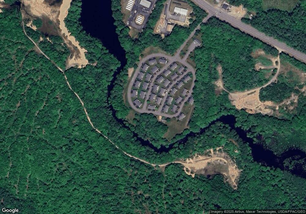
Map
Nearby Homes
- 53 Barberry Ln
- 29 Langford Rd
- 202 Route 27 Unit 36
- 7 Merrick Rd
- 189 Route 27
- 26 Roy St
- 10 Roy St
- 84 W Shore Dr
- 24 Kendall Ln
- 209 New Hampshire 27
- 11 Blaisdell's Trail
- 6 Blaisdell's Trail
- 17 Blaisdell's Trail
- 25 Blaisdell's Trail
- 29 Blaisdell's Trail
- 1 Blaisdell's Trail
- 31 Blaisdell's Trail Unit 37-18
- 6 Knights Ct
- 29 Harriman Rd
- 12 Blaisdell's Trail
- 50 Patriots Way Unit 50
- 50 Patriots Way Unit 34
- 48 Patriots Way
- 19 Red Sox Ln Unit 19
- 19 Red Sox Ln Unit 35
- 20 Bruins Ln Unit 20
- 20 Bruins Ln Unit 32
- 17 Red Sox Ln Unit 36
- 18 Bruins Ln Unit 18
- 18 Bruins Ln Unit 31
- 20 Red Sox Ln
- 18 Red Sox Ln
- 23 Bruins Ln
- 23 Bruins Ln Unit 15
- 15 Red Sox Ln
- 15 Red Sox Ln Unit 37
- 15 Red Sox Ln Unit 15
- 16 Bruins Ln Unit 31
- 16 Bruins Ln
- 16 Bruins Ln Unit 10