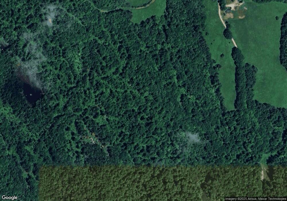
50 Perry Brook Rd Newport, NH 03773
Estimated Value: $480,000 - $891,000
2
Beds
1
Bath
1,905
Sq Ft
$331/Sq Ft
Est. Value
About This Home
This home is located at 50 Perry Brook Rd, Newport, NH 03773 and is currently estimated at $630,600, approximately $331 per square foot. 50 Perry Brook Rd is a home located in Sullivan County with nearby schools including Richards Elementary School and Newport High School.
Create a Home Valuation Report for This Property
The Home Valuation Report is an in-depth analysis detailing your home's value as well as a comparison with similar homes in the area
Home Values in the Area
Average Home Value in this Area
Tax History Compared to Growth
Tax History
| Year | Tax Paid | Tax Assessment Tax Assessment Total Assessment is a certain percentage of the fair market value that is determined by local assessors to be the total taxable value of land and additions on the property. | Land | Improvement |
|---|---|---|---|---|
| 2024 | $6,276 | $258,174 | $92,774 | $165,400 |
| 2023 | $6,145 | $260,586 | $95,186 | $165,400 |
| 2022 | $5,431 | $259,855 | $94,455 | $165,400 |
| 2021 | $5,681 | $172,144 | $71,444 | $100,700 |
| 2020 | $5,657 | $170,917 | $70,217 | $100,700 |
| 2019 | $5,623 | $172,871 | $72,171 | $100,700 |
| 2018 | $5,250 | $172,699 | $71,999 | $100,700 |
| 2017 | $5,083 | $169,192 | $68,492 | $100,700 |
| 2016 | $5,859 | $203,932 | $92,732 | $111,200 |
| 2015 | $5,955 | $203,601 | $92,401 | $111,200 |
| 2014 | $6,356 | $200,888 | $89,688 | $111,200 |
| 2013 | $6,001 | $200,089 | $119,089 | $81,000 |
Source: Public Records
Map
Nearby Homes
- 0 Cat Hole Rd Unit 5052634
- 01 E Green Mountain Rd
- 02 E Green Mountain Rd
- 300 E Green Mountain Rd
- 381 E Green Mountain Rd
- 342 E Green Mountain Rd
- 23 Fletcher Rd
- 2 Croydon Brook Rd
- 0 Slab City Rd Unit 5036741
- 0 E Green Mountain Rd Unit 8
- 680-2 John Stark Hwy
- 430 John Stark Hwy
- 98 & 102 Washington St
- 614 Redwater Brook Rd
- 0 Hanover St Unit 1
- 25 Dartmouth St
- 11 Dartmouth St
- 44 Petrin Heights Rd
- 4 Anderson St
- 28 Tutherly Ave
- 495 Cornish Turnpike
- 456 Cornish Turnpike
- 455 Cornish Turnpike
- 455 Cornish Turnpike Unit 1&2
- 0 Cornish Turnpike Unit 4093207
- 0 Cornish Turnpike Unit 4093076
- 0 Cornish Turnpike Unit 4093059
- 0 Cornish Turnpike Unit 4927598
- 0 Cornish Turnpike Unit 1&2 4883694
- 0 Cornish Turnpike
- 381 Cornish Turnpike
- 207-002 Cornish Turnpike
- 354 Cornish Turnpike
- 319 Cornish Turnpike
- 348 Cornish Turnpike
- 00 Cat Hole Rd Unit Lot 52-7 and 52-9
- 00 Cat Hole Rd
