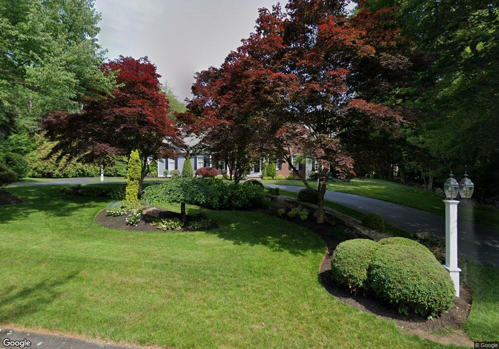
50 Pheasant Run Saunderstown, RI 02874
Saunderstown NeighborhoodEstimated Value: $1,220,000 - $1,354,000
4
Beds
4
Baths
3,473
Sq Ft
$373/Sq Ft
Est. Value
About This Home
This home is located at 50 Pheasant Run, Saunderstown, RI 02874 and is currently estimated at $1,296,721, approximately $373 per square foot. 50 Pheasant Run is a home located in Washington County with nearby schools including Hamilton Elementary School, Wickford Middle School, and North Kingstown Sr. High School.
Ownership History
Date
Name
Owned For
Owner Type
Purchase Details
Closed on
May 6, 2024
Sold by
Micklich Alice P and Micklich Timothy P
Bought by
Micklich T T and Micklich M
Current Estimated Value
Purchase Details
Closed on
Sep 28, 2007
Sold by
Maddaline Todd M
Bought by
Micklich Timothy and Micklich Alice
Purchase Details
Closed on
May 4, 2004
Sold by
Cendant Mobility Fncl
Bought by
Maddaline Todd
Purchase Details
Closed on
May 7, 1999
Sold by
David A Cote Builders
Bought by
Swenson Ernest W and Swenson Dianne M
Create a Home Valuation Report for This Property
The Home Valuation Report is an in-depth analysis detailing your home's value as well as a comparison with similar homes in the area
Home Values in the Area
Average Home Value in this Area
Purchase History
| Date | Buyer | Sale Price | Title Company |
|---|---|---|---|
| Micklich T T | -- | None Available | |
| Micklich T T | -- | None Available | |
| Micklich Timothy | $710,000 | -- | |
| Micklich Timothy | $710,000 | -- | |
| Maddaline Todd | $750,000 | -- | |
| Cendant Mob Fncl Corp | $750,000 | -- | |
| Cendant Mob Fncl Corp | $750,000 | -- | |
| Swenson Ernest W | $448,000 | -- | |
| Swenson Ernest W | $448,000 | -- |
Source: Public Records
Mortgage History
| Date | Status | Borrower | Loan Amount |
|---|---|---|---|
| Previous Owner | Swenson Ernest W | $365,000 | |
| Previous Owner | Swenson Ernest W | $382,700 |
Source: Public Records
Tax History
| Year | Tax Paid | Tax Assessment Tax Assessment Total Assessment is a certain percentage of the fair market value that is determined by local assessors to be the total taxable value of land and additions on the property. | Land | Improvement |
|---|---|---|---|---|
| 2025 | $14,460 | $1,309,800 | $433,600 | $876,200 |
| 2024 | $12,301 | $857,800 | $278,300 | $579,500 |
| 2023 | $12,301 | $857,800 | $278,300 | $579,500 |
| 2022 | $12,061 | $857,800 | $278,300 | $579,500 |
| 2021 | $12,850 | $734,300 | $207,400 | $526,900 |
| 2020 | $12,549 | $734,300 | $207,400 | $526,900 |
| 2019 | $12,549 | $734,300 | $207,400 | $526,900 |
| 2018 | $11,483 | $605,300 | $207,400 | $397,900 |
| 2017 | $11,253 | $605,300 | $207,400 | $397,900 |
| 2016 | $10,932 | $605,300 | $207,400 | $397,900 |
| 2015 | $11,242 | $582,500 | $207,400 | $375,100 |
| 2014 | $11,015 | $582,500 | $207,400 | $375,100 |
Source: Public Records
Map
Nearby Homes
- 331 Congdon Hill Rd
- 202 Explorer Dr
- 168 Explorer Dr
- 247 Glen Hill Dr
- 371 Glen Hill Dr
- 58 Brigade Dr
- 71 Woodmist Way
- 65 Village Hill Ln
- 344 Tower Hill Rd
- 299 W Allenton Rd
- 613 Slocum Rd
- 2424 Tower Hill Rd
- 78 Conservatory Way Unit 78
- 604 Stony Fort Rd
- 54 Thelma Irene Dr
- 70 Weaver Rd
- 171 Haverhill Ave
- 83 Oceanwoods Dr
- 620 Dry Bridge Rd
- 622 Dry Bridge Rd
- 34 Pheasant Run
- 32 Pheasant Run
- 37 Haggarty Hill Rd
- 26 Pheasant Run
- 53 Haggarty Hill Rd
- 63 Pheasant Run
- 23 Haggarty Hill Rd
- 9 Haggarty Hill Rd
- 7 Haggarty Hill Rd
- 0 Haggarty Hill Rd
- 16 Pheasant Run
- 33 Pheasant Run
- 31 Pheasant Run
- 82 Pheasant Run
- 39 Pheasant Run
- 27 Pheasant Run
- 542 Congdon Hill Rd
- 67 Haggarty Hill Rd
- 10 Haggarty Hill Rd
- 4 Haggarty Hill Rd
Your Personal Tour Guide
Ask me questions while you tour the home.