50 Quarry Loop Rd Mount Juliet, TN 37122
Estimated Value: $389,000 - $1,997,956
--
Bed
3
Baths
5,722
Sq Ft
$209/Sq Ft
Est. Value
About This Home
This home is located at 50 Quarry Loop Rd, Mount Juliet, TN 37122 and is currently estimated at $1,193,478, approximately $208 per square foot. 50 Quarry Loop Rd is a home located in Wilson County with nearby schools including Stoner Creek Elementary School, West Wilson Middle School, and Mt. Juliet High School.
Ownership History
Date
Name
Owned For
Owner Type
Purchase Details
Closed on
Aug 20, 2015
Sold by
Thomas George L
Bought by
Deathridge Scott and Deathridge Teresa S
Current Estimated Value
Purchase Details
Closed on
May 6, 2002
Sold by
Deathridge Teresa S
Bought by
State Of Tennessee
Purchase Details
Closed on
Dec 31, 1992
Bought by
Deathridge Scott and Teresa Stewart
Purchase Details
Closed on
May 26, 1992
Bought by
Deathridge Scott and Teresa Stewart
Purchase Details
Closed on
Dec 6, 1972
Bought by
Stewart Frank and Stewart Josephine
Purchase Details
Closed on
May 29, 1963
Purchase Details
Closed on
Nov 5, 1962
Purchase Details
Closed on
Oct 30, 1950
Create a Home Valuation Report for This Property
The Home Valuation Report is an in-depth analysis detailing your home's value as well as a comparison with similar homes in the area
Home Values in the Area
Average Home Value in this Area
Purchase History
| Date | Buyer | Sale Price | Title Company |
|---|---|---|---|
| Deathridge Scott | $154,461 | -- | |
| Dorman Dale | $52,562 | -- | |
| State Of Tennessee | -- | -- | |
| Deathridge Scott | -- | -- | |
| Deathridge Scott | -- | -- | |
| Stewart Frank | -- | -- | |
| -- | -- | -- | |
| -- | -- | -- | |
| -- | -- | -- |
Source: Public Records
Tax History Compared to Growth
Tax History
| Year | Tax Paid | Tax Assessment Tax Assessment Total Assessment is a certain percentage of the fair market value that is determined by local assessors to be the total taxable value of land and additions on the property. | Land | Improvement |
|---|---|---|---|---|
| 2024 | $3,607 | $188,975 | $66,875 | $122,100 |
| 2022 | $3,607 | $188,975 | $66,875 | $122,100 |
| 2021 | $3,607 | $320,675 | $198,575 | $122,100 |
| 2020 | $3,563 | $188,975 | $66,875 | $122,100 |
| 2019 | $3,563 | $141,450 | $46,650 | $94,800 |
| 2018 | $3,563 | $141,450 | $46,650 | $94,800 |
| 2017 | $3,563 | $141,450 | $46,650 | $94,800 |
| 2016 | $3,563 | $141,450 | $46,650 | $94,800 |
| 2015 | $3,782 | $147,125 | $51,075 | $96,050 |
| 2014 | $3,287 | $127,897 | $0 | $0 |
Source: Public Records
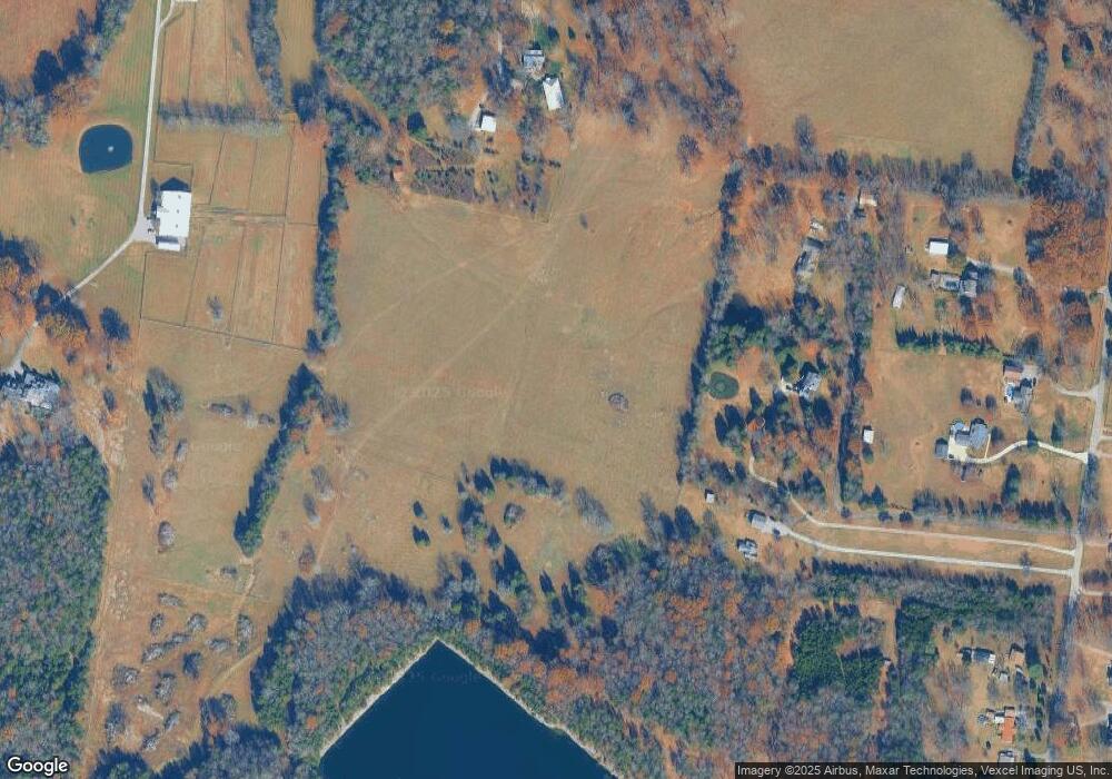
Map
Nearby Homes
- 2895 Landon Dr
- 0 Lebanon Rd Unit RTC2820443
- 0 Lebanon Rd Unit RTC2760492
- 0 Lebanon Rd Unit RTC2505567
- 1 Landon Dr
- 228 Limestone Way
- 223 Limestone Way
- 226 Limestone Way
- 224 Limestone Way
- 3 Lebanon Rd
- 0 Lebanon Rd
- 220 Limestone Way
- 215 Limestone Way
- Livingston Plan at Cades Bluff
- Bledsoe Plan at Cades Bluff
- Brentley Plan at Cades Bluff
- Montgomery Plan at Cades Bluff
- Westmore Plan at Cades Bluff
- Brunswick Plan at Cades Bluff
- Bartlett Plan at Cades Bluff
- 4977 Lebanon Rd
- 84 Quarry Rd
- 1 Quarry Rd
- 6705 Lebanon Rd
- 67 Quarry Rd
- 6829 Lebanon Rd
- 6879 Lebanon Rd
- 6879 Lebanon Rd Unit 6879 Lebanon Rd, uni
- 6879 Lebanon Rd Unit A
- 6879 Lebanon Rd Unit C
- 6879 Lebanon Rd Unit B
- 6779 Lebanon Rd
- 6905 Lebanon Rd
- 238 Quarry Loop Rd
- 6925 Lebanon Rd
- 6978 Lebanon Rd
- 7031 Lebanon Rd
- 7104 Lebanon Rd
- 7075 Lebanon Rd
- 225 Landon Dr