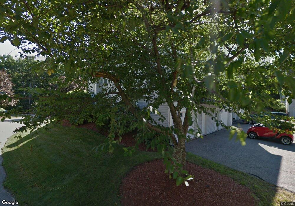
50 Ramsgate Ridge Unit U252 Nashua, NH 03063
Northwest Nashua NeighborhoodEstimated Value: $432,000 - $447,216
3
Beds
2
Baths
1,686
Sq Ft
$261/Sq Ft
Est. Value
About This Home
This home is located at 50 Ramsgate Ridge Unit U252, Nashua, NH 03063 and is currently estimated at $439,304, approximately $260 per square foot. 50 Ramsgate Ridge Unit U252 is a home located in Hillsborough County with nearby schools including Broad Street Elementary School, Pennichuck Middle School, and Nashua High School North.
Ownership History
Date
Name
Owned For
Owner Type
Purchase Details
Closed on
Sep 30, 2003
Sold by
Berke Howard R
Bought by
Woolsey Patrick
Current Estimated Value
Home Financials for this Owner
Home Financials are based on the most recent Mortgage that was taken out on this home.
Original Mortgage
$159,920
Outstanding Balance
$74,442
Interest Rate
6.29%
Estimated Equity
$364,862
Create a Home Valuation Report for This Property
The Home Valuation Report is an in-depth analysis detailing your home's value as well as a comparison with similar homes in the area
Home Values in the Area
Average Home Value in this Area
Purchase History
| Date | Buyer | Sale Price | Title Company |
|---|---|---|---|
| Woolsey Patrick | $199,900 | -- |
Source: Public Records
Mortgage History
| Date | Status | Borrower | Loan Amount |
|---|---|---|---|
| Open | Woolsey Patrick | $159,920 |
Source: Public Records
Tax History Compared to Growth
Tax History
| Year | Tax Paid | Tax Assessment Tax Assessment Total Assessment is a certain percentage of the fair market value that is determined by local assessors to be the total taxable value of land and additions on the property. | Land | Improvement |
|---|---|---|---|---|
| 2024 | $6,381 | $401,300 | $0 | $401,300 |
| 2023 | $6,105 | $334,900 | $0 | $334,900 |
| 2022 | $6,052 | $334,900 | $0 | $334,900 |
| 2021 | $5,408 | $232,900 | $0 | $232,900 |
| 2020 | $5,266 | $232,900 | $0 | $232,900 |
| 2019 | $5,068 | $232,900 | $0 | $232,900 |
| 2018 | $4,940 | $232,900 | $0 | $232,900 |
| 2017 | $4,070 | $157,800 | $0 | $157,800 |
| 2016 | $3,956 | $157,800 | $0 | $157,800 |
| 2015 | $3,871 | $157,800 | $0 | $157,800 |
| 2014 | $3,795 | $157,800 | $0 | $157,800 |
Source: Public Records
Map
Nearby Homes
- 38 Highbridge Hill Rd Unit 186
- 26 Andover Down Unit 276
- 123 Cannongate III
- 66 Tinker Rd
- 5 Dumaine Ave Unit B
- 5 Dumaine Ave Unit N
- 75 Deerwood Dr Unit B
- 77 Deerwood Dr Unit E
- 74 Profile Cir
- 47 Hanna Cir Unit 47
- 47 Hanna Cir
- 218 Millwright Dr Unit 218
- 201 Millwright Dr
- 3 Roedean Dr Unit C-207
- 2 New Haven Dr Unit E303
- 33 Ferry Rd
- 18 Swift Ln
- 7 Robert Dr
- 40 Merrimack Dr
- 28 Merrimack Dr
- 48 Ramsgate Ridge Unit U251
- 46 Ramsgate Ridge Unit U250
- 44 Ramsgate Ridge Unit U249
- 44 Ramsgate Ridge Unit 44
- 52 Ramsgate Ridge Unit U253
- 54 Ramsgate Ridge Unit U254
- 56 Ramsgate Ridge Unit U255
- 42 Ramsgate Ridge Unit U248
- 40 Ramsgate Ridge Unit U247
- 38 Ramsgate Ridge Unit U246
- 28 Ramsgate Ridge Unit U241
- 36 Ramsgate Ridge Unit U245
- 30 Ramsgate Ridge Unit U242
- 32 Ramsgate Ridge Unit U243
- 34 Ramsgate Ridge Unit U244
- 60 Ramsgate Ridge Unit U257
- 60 Ramsgate Ridge Dr Unit 60
- 62 Ramsgate Ridge Unit U258
- 40 Ramsgate Dr
- 64 Ramsgate Ridge Unit U259