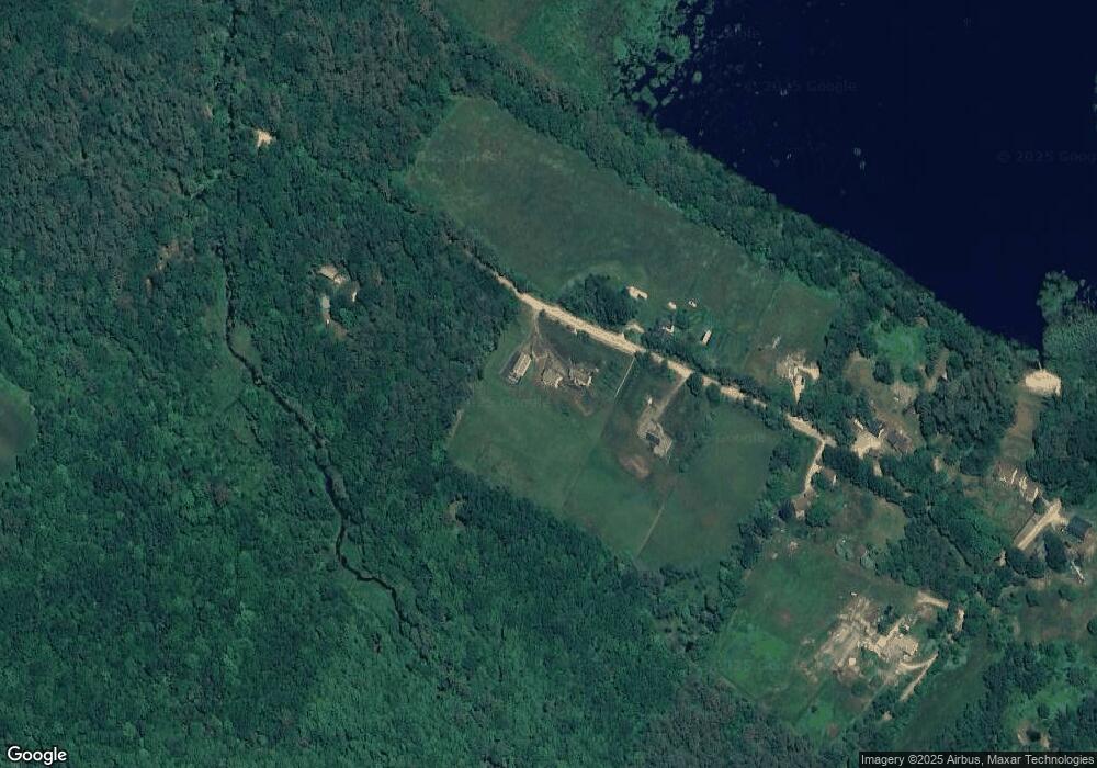
50 Range Rd Pittsfield, NH 03263
Estimated Value: $607,000 - $848,000
--
Bed
4
Baths
--
Sq Ft
7.36
Acres
About This Home
This home is located at 50 Range Rd, Pittsfield, NH 03263 and is currently estimated at $710,712. 50 Range Rd is a home located in Merrimack County with nearby schools including Pittsfield Elementary School and Pittsfield High School.
Create a Home Valuation Report for This Property
The Home Valuation Report is an in-depth analysis detailing your home's value as well as a comparison with similar homes in the area
Home Values in the Area
Average Home Value in this Area
Tax History Compared to Growth
Tax History
| Year | Tax Paid | Tax Assessment Tax Assessment Total Assessment is a certain percentage of the fair market value that is determined by local assessors to be the total taxable value of land and additions on the property. | Land | Improvement |
|---|---|---|---|---|
| 2024 | $12,943 | $433,300 | $98,600 | $334,700 |
| 2023 | $10,820 | $433,300 | $98,600 | $334,700 |
| 2022 | $10,304 | $433,300 | $98,600 | $334,700 |
| 2020 | $10,711 | $433,300 | $98,600 | $334,700 |
| 2019 | $10,877 | $331,000 | $74,600 | $256,400 |
| 2018 | $11,039 | $331,000 | $74,600 | $256,400 |
| 2017 | $11,075 | $331,000 | $74,600 | $256,400 |
| 2016 | $10,675 | $331,000 | $74,600 | $256,400 |
| 2015 | $10,023 | $331,000 | $74,600 | $256,400 |
| 2014 | $8,876 | $304,700 | $69,600 | $235,100 |
| 2013 | $9,246 | $300,400 | $69,600 | $230,800 |
Source: Public Records
Map
Nearby Homes
- 0 Shaw Rd Unit 36-1
- 1310 & 1311 Upper City Rd
- 1457 Upper City Rd
- 7 Cram Ave
- L33 Province Rd
- 21 Concord Hill Rd
- 23 Concord Hill Rd
- 110 Main St
- M2-l29-2 Province Rd
- 99 Fairview Dr
- 41 Pinepark Dr
- 449 Tilton Hill Rd
- 93 E Huntress Pond Rd
- 4 Sandy Point Rd
- 28 Sanderson Dr
- 116 Webster Mills Rd
- M10 L26-3 Valley Dam Rd
- 11 Gray Rd
- 67 Swiggey Brook Rd
- 268 Mountain Rd