50 Route 2 Preston, CT 06365
Estimated Value: $810,624
1
Bed
1
Bath
1,619
Sq Ft
$501/Sq Ft
Est. Value
About This Home
This home is located at 50 Route 2, Preston, CT 06365 and is currently estimated at $810,624, approximately $500 per square foot. 50 Route 2 is a home located in New London County with nearby schools including Integrated Day Charter School, St. Joseph School, and St. Patrick Cathedral School.
Ownership History
Date
Name
Owned For
Owner Type
Purchase Details
Closed on
Aug 23, 1988
Sold by
Spicer Parke
Bought by
Wiese Ernest
Current Estimated Value
Home Financials for this Owner
Home Financials are based on the most recent Mortgage that was taken out on this home.
Original Mortgage
$100,000
Interest Rate
10.32%
Mortgage Type
Commercial
Create a Home Valuation Report for This Property
The Home Valuation Report is an in-depth analysis detailing your home's value as well as a comparison with similar homes in the area
Home Values in the Area
Average Home Value in this Area
Purchase History
| Date | Buyer | Sale Price | Title Company |
|---|---|---|---|
| Wiese Ernest | $180,000 | -- |
Source: Public Records
Mortgage History
| Date | Status | Borrower | Loan Amount |
|---|---|---|---|
| Closed | Wiese Ernest | $100,000 |
Source: Public Records
Tax History Compared to Growth
Tax History
| Year | Tax Paid | Tax Assessment Tax Assessment Total Assessment is a certain percentage of the fair market value that is determined by local assessors to be the total taxable value of land and additions on the property. | Land | Improvement |
|---|---|---|---|---|
| 2025 | $4,857 | $193,410 | $49,070 | $144,340 |
| 2024 | $4,520 | $193,410 | $49,070 | $144,340 |
| 2023 | $4,439 | $193,410 | $49,070 | $144,340 |
| 2022 | $4,508 | $161,700 | $70,300 | $91,400 |
| 2021 | $4,356 | $161,700 | $70,300 | $91,400 |
| 2020 | $4,350 | $161,700 | $70,300 | $91,400 |
| 2019 | $4,274 | $161,700 | $70,300 | $91,400 |
| 2018 | $4,209 | $161,700 | $70,300 | $91,400 |
| 2017 | $3,886 | $161,900 | $62,500 | $99,400 |
| 2016 | $3,845 | $161,900 | $62,500 | $99,400 |
| 2015 | $3,724 | $161,900 | $62,500 | $99,400 |
| 2014 | $3,746 | $161,900 | $62,500 | $99,400 |
Source: Public Records
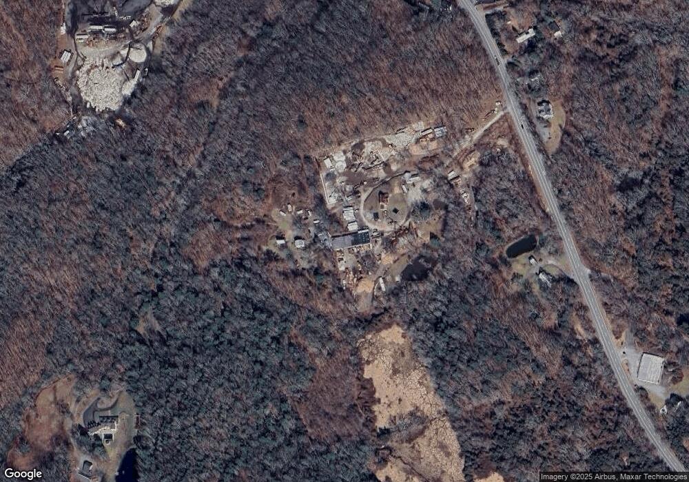
Map
Nearby Homes
- 105 Stonington Rd
- 278 Palmer Street Extension
- 211 Palmer Street Extension
- 21 Stonington Rd
- 32 Hammond Ave
- 3 Webster Dr
- 67 Corning Rd Unit 3
- 59 Harris Fuller Rd
- 41 Palmer St Unit 22
- 79 Hamilton Ave
- 475 E Main St
- 168 Corning Rd
- 20 Hedge Ave
- 478 E Main St
- 445 E Main St
- 12 Penobscot St
- 48 Hinckley St
- 15 Paster Rd
- 5 Mount Laurel Rd
- 296 Hamilton Ave Unit 29