50 Runnells Rd Concord, NH 03303
West Concord NeighborhoodEstimated Value: $420,955 - $480,000
2
Beds
1
Bath
988
Sq Ft
$451/Sq Ft
Est. Value
About This Home
This home is located at 50 Runnells Rd, Concord, NH 03303 and is currently estimated at $445,989, approximately $451 per square foot. 50 Runnells Rd is a home located in Merrimack County with nearby schools including Beaver Meadow School, Rundlett Middle School, and Concord High School.
Ownership History
Date
Name
Owned For
Owner Type
Purchase Details
Closed on
Apr 10, 2019
Sold by
Gustafson John and Gustafson Kirstie
Bought by
Gustafson John
Current Estimated Value
Home Financials for this Owner
Home Financials are based on the most recent Mortgage that was taken out on this home.
Original Mortgage
$157,814
Outstanding Balance
$138,178
Interest Rate
4.3%
Mortgage Type
New Conventional
Estimated Equity
$307,811
Purchase Details
Closed on
Jan 5, 2010
Sold by
Drown Deborah R
Bought by
Gustafson John and Gustafson Kirstie
Home Financials for this Owner
Home Financials are based on the most recent Mortgage that was taken out on this home.
Original Mortgage
$171,504
Interest Rate
4.85%
Mortgage Type
Purchase Money Mortgage
Create a Home Valuation Report for This Property
The Home Valuation Report is an in-depth analysis detailing your home's value as well as a comparison with similar homes in the area
Home Values in the Area
Average Home Value in this Area
Purchase History
| Date | Buyer | Sale Price | Title Company |
|---|---|---|---|
| Gustafson John | -- | -- | |
| Gustafson John | $175,000 | -- |
Source: Public Records
Mortgage History
| Date | Status | Borrower | Loan Amount |
|---|---|---|---|
| Open | Gustafson John | $157,814 | |
| Previous Owner | Gustafson John | $171,504 |
Source: Public Records
Tax History Compared to Growth
Tax History
| Year | Tax Paid | Tax Assessment Tax Assessment Total Assessment is a certain percentage of the fair market value that is determined by local assessors to be the total taxable value of land and additions on the property. | Land | Improvement |
|---|---|---|---|---|
| 2024 | $7,443 | $268,800 | $126,300 | $142,500 |
| 2023 | $7,220 | $268,800 | $126,300 | $142,500 |
| 2022 | $6,959 | $268,800 | $126,300 | $142,500 |
| 2021 | $6,682 | $266,000 | $126,300 | $139,700 |
| 2020 | $6,133 | $229,200 | $96,800 | $132,400 |
| 2019 | $5,973 | $215,000 | $88,700 | $126,300 |
| 2018 | $5,621 | $199,400 | $79,800 | $119,600 |
| 2017 | $5,464 | $193,500 | $80,700 | $112,800 |
| 2016 | $5,152 | $186,200 | $80,700 | $105,500 |
| 2015 | $4,675 | $174,200 | $80,700 | $93,500 |
| 2014 | $4,670 | $174,200 | $80,700 | $93,500 |
| 2013 | -- | $171,700 | $80,700 | $91,000 |
| 2012 | -- | $177,400 | $80,700 | $96,700 |
Source: Public Records
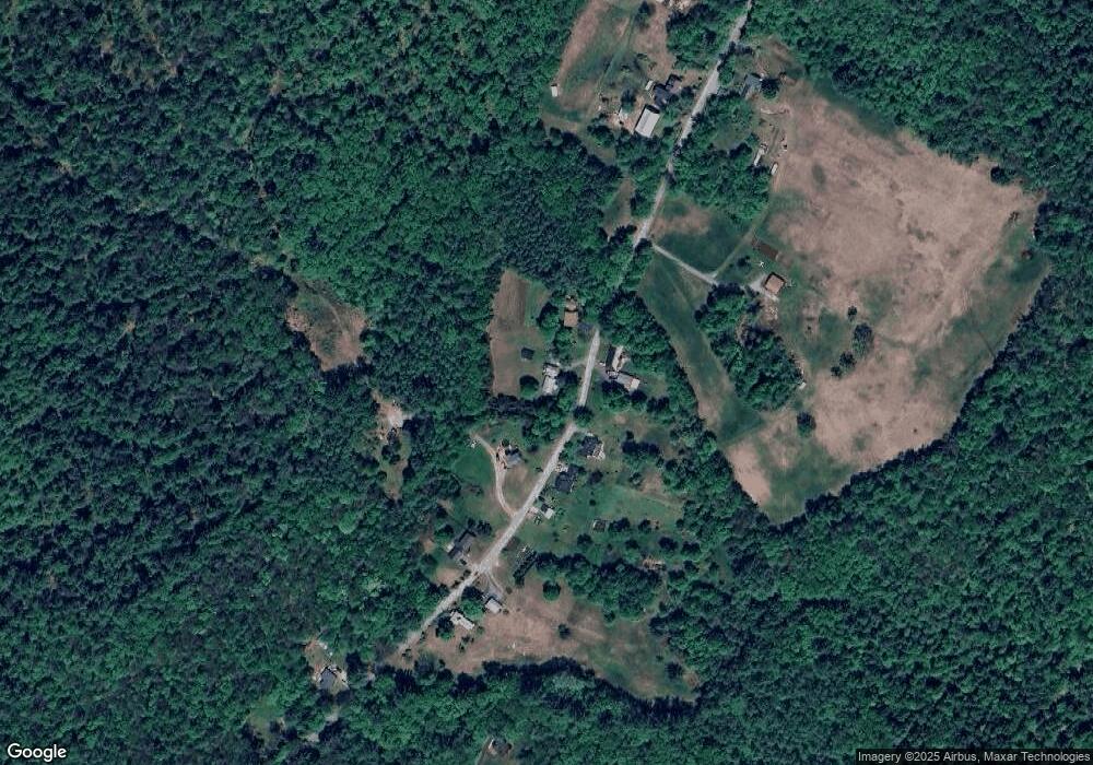
Map
Nearby Homes
- 148 Broad Cove Dr
- 50 Weir Rd
- 95 Blackwater Rd
- 106 Stacey Dr
- 155 Pamela Dr
- 130 Borough Rd
- 3 Merlot Ct Unit 4
- 3 Cabernet Dr Unit 3
- 13 Cheryl Dr
- 19 Bluffs Dr
- 18 Dawn Dr
- 14 S Emperor Dr
- 20 Millstream Ln
- 13 Whitewater Dr
- 356 E Penacook Rd
- 36 Whitewater Dr
- 49 Skyline Dr
- 37 Rex Dr
- 105 Lilac St
- 129 Fisherville Rd Unit 4
- 46 Runnells Rd
- 47 Runnell
- 47 Runnells Rd
- 51 Runnells Rd
- 52 Runnells Rd
- 55 Runnells Rd
- 60 Runnells Rd
- 61 Runnells Rd
- 32 Runnells Rd
- 29 Runnells Rd
- 29 Runnells Rd
- 70 Runnells Rd
- 67 Runnells Rd
- 74 Runnells Rd
- 80 Runnells Rd
- 71 Runnells Rd
- 118 Broad Cove Dr
- 110 Broad Cove Dr
- 10 Runnells Rd
- 54 Baileys Landing