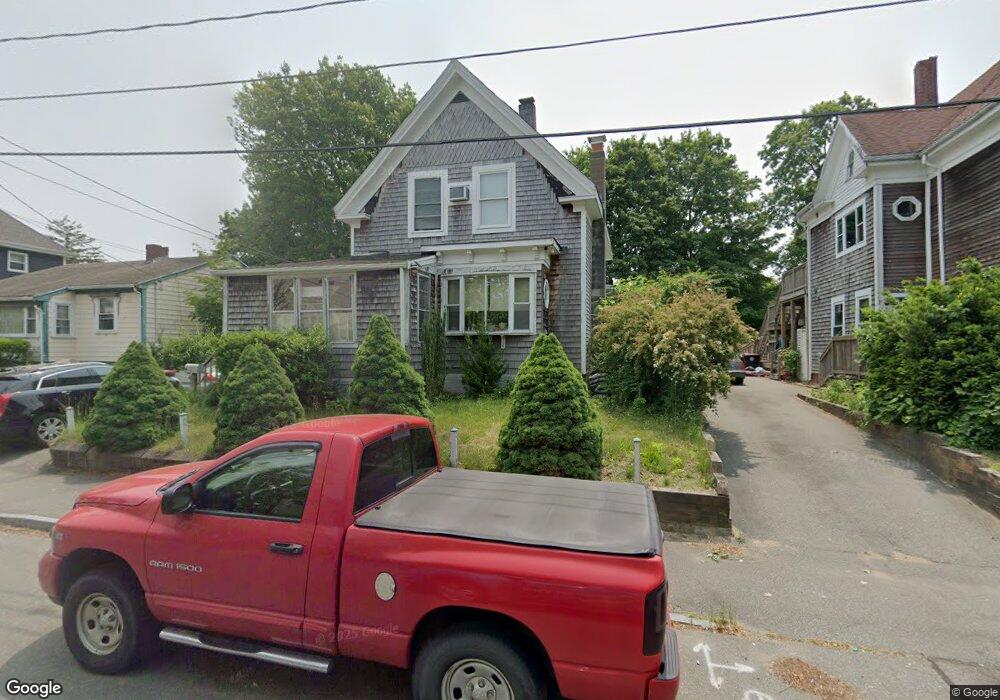
50 Rutland Square Brockton, MA 02301
Campello NeighborhoodEstimated Value: $395,000 - $503,000
3
Beds
1
Bath
1,322
Sq Ft
$341/Sq Ft
Est. Value
About This Home
This home is located at 50 Rutland Square, Brockton, MA 02301 and is currently estimated at $451,348, approximately $341 per square foot. 50 Rutland Square is a home located in Plymouth County with nearby schools including Davis K-8 School, John F. Kennedy Elementary School, and South Middle School.
Ownership History
Date
Name
Owned For
Owner Type
Purchase Details
Closed on
Oct 5, 1988
Sold by
Harrington C A
Bought by
Reynolds Lawrence B
Current Estimated Value
Home Financials for this Owner
Home Financials are based on the most recent Mortgage that was taken out on this home.
Original Mortgage
$100,800
Interest Rate
10.64%
Mortgage Type
Purchase Money Mortgage
Create a Home Valuation Report for This Property
The Home Valuation Report is an in-depth analysis detailing your home's value as well as a comparison with similar homes in the area
Home Values in the Area
Average Home Value in this Area
Purchase History
| Date | Buyer | Sale Price | Title Company |
|---|---|---|---|
| Reynolds Lawrence B | $113,500 | -- |
Source: Public Records
Mortgage History
| Date | Status | Borrower | Loan Amount |
|---|---|---|---|
| Closed | Reynolds Lawrence B | $100,800 |
Source: Public Records
Tax History Compared to Growth
Tax History
| Year | Tax Paid | Tax Assessment Tax Assessment Total Assessment is a certain percentage of the fair market value that is determined by local assessors to be the total taxable value of land and additions on the property. | Land | Improvement |
|---|---|---|---|---|
| 2025 | $4,344 | $358,700 | $136,100 | $222,600 |
| 2024 | $4,125 | $343,200 | $136,100 | $207,100 |
| 2023 | $3,955 | $304,700 | $101,900 | $202,800 |
| 2022 | $3,655 | $261,600 | $92,400 | $169,200 |
| 2021 | $3,355 | $231,400 | $76,400 | $155,000 |
| 2020 | $3,213 | $212,100 | $72,100 | $140,000 |
| 2019 | $3,016 | $194,100 | $69,600 | $124,500 |
| 2018 | $2,863 | $178,300 | $69,600 | $108,700 |
| 2017 | $2,571 | $159,700 | $69,600 | $90,100 |
| 2016 | $2,330 | $134,200 | $67,500 | $66,700 |
| 2015 | $2,127 | $117,200 | $67,500 | $49,700 |
| 2014 | $2,080 | $114,700 | $67,500 | $47,200 |
Source: Public Records
Map
Nearby Homes
- 115 Market St
- 65 Tremont St
- 223 Clinton St Unit 10
- 223 Clinton St Unit 3
- 977 Warren Ave
- 936 Warren Ave
- 103 Clinton St
- 137 Channing Ave
- 163 S Leyden St
- 47 Southworth St
- 35 Longworth Ave Unit 17
- 15 1st St
- 15 Longworth Ave Unit 231
- 20 Custer St
- 153 Bouve Ave
- 61 Myrtle St
- 37 Menlo Ave
- 29 Hancock St
- 16 Hancock St
- 176 Ettrick St
- 54 Rutland Square
- 44 Rutland Square
- 58 Rutland Square
- 58 Rutland Square Unit 3
- 42 Rutland Square
- 43 Keith Ave
- 49 Keith Ave
- 49 Keith Ave Unit U:1
- 49 Keith Ave Unit 1
- 64 Rutland Square
- 38 Rutland Square
- 55 Keith Ave
- 37 Keith Ave
- 21 Berkley St
- 57 Keith Ave
- 33 Keith Ave
- 1224 Warren Ave
- 27 Lyon Ave
- 27 Keith Ave
- 28 Rutland Square