50 Sands Rd Eastham, MA 02642
Estimated Value: $948,000 - $1,136,000
3
Beds
2
Baths
2,517
Sq Ft
$425/Sq Ft
Est. Value
About This Home
This home is located at 50 Sands Rd, Eastham, MA 02642 and is currently estimated at $1,070,833, approximately $425 per square foot. 50 Sands Rd is a home located in Barnstable County with nearby schools including Eastham Elementary School, Nauset Regional Middle School, and Nauset Regional High School.
Ownership History
Date
Name
Owned For
Owner Type
Purchase Details
Closed on
Sep 30, 2016
Sold by
Mackenzie James T and Mackenzie Mary O
Bought by
James T Mackenzie Ret
Current Estimated Value
Purchase Details
Closed on
Feb 12, 2015
Sold by
Berg Warren R Est
Bought by
Mackinzie James T and Mackenzie Mary O
Purchase Details
Closed on
Dec 15, 2010
Sold by
Berg Winifred G
Bought by
Berg Warren R
Create a Home Valuation Report for This Property
The Home Valuation Report is an in-depth analysis detailing your home's value as well as a comparison with similar homes in the area
Home Values in the Area
Average Home Value in this Area
Purchase History
We collect this data history from publicly available records. To have your information removed, we recommend requesting removal directly through your county’s website.
| Date | Buyer | Sale Price | Title Company |
|---|---|---|---|
| James T Mackenzie Ret | -- | -- | |
| Mackinzie James T | $360,000 | -- | |
| Berg Warren R | -- | -- |
Source: Public Records
Tax History
| Year | Tax Paid | Tax Assessment Tax Assessment Total Assessment is a certain percentage of the fair market value that is determined by local assessors to be the total taxable value of land and additions on the property. | Land | Improvement |
|---|---|---|---|---|
| 2025 | $7,770 | $1,007,800 | $270,400 | $737,400 |
| 2024 | $6,917 | $986,700 | $262,500 | $724,200 |
| 2023 | $6,378 | $881,000 | $243,100 | $637,900 |
| 2022 | $5,811 | $677,300 | $217,000 | $460,300 |
| 2021 | $4,488 | $615,300 | $197,300 | $418,000 |
| 2020 | $5,204 | $596,800 | $201,300 | $395,500 |
| 2019 | $2,919 | $579,500 | $195,500 | $384,000 |
| 2018 | $3,946 | $451,300 | $189,800 | $261,500 |
| 2017 | $2,405 | $380,300 | $186,100 | $194,200 |
| 2016 | $2,944 | $395,700 | $186,100 | $209,600 |
| 2015 | $2,760 | $388,800 | $182,400 | $206,400 |
Source: Public Records
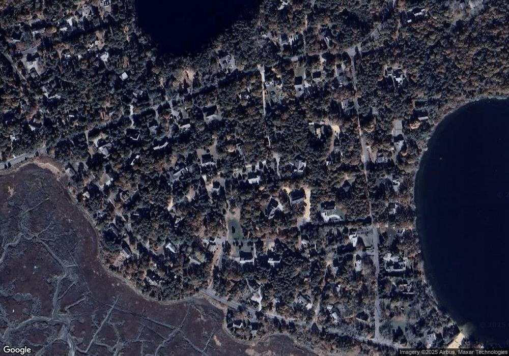
Map
Nearby Homes
- 655 Herring Brook Rd
- 20 Priscilla Cir
- 10 Cartway N
- 40 Uncle Nate's Way
- 1690 Herring Brook Rd
- 163 Samoset Rd
- 20 Stone Ct
- 600 Kingsbury Beach Rd
- 1145 Kingsbury Beach Rd
- 1975 State Hwy Unit 1
- 1975 State Hwy Unit 9
- 10 Polly Seabury Way
- 21 Locust Rd
- 3315 State Hwy
- 5 Weir Rd
- 65 Whitney Rd
- 3098 State Hwy
- 90 Whitney Rd
- 40 Bayview Rd
- 12 Settlers Trace
Your Personal Tour Guide
Ask me questions while you tour the home.