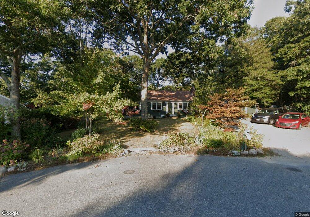
50 Somerset Rd Mashpee, MA 02649
Estimated Value: $442,000 - $556,000
About This Home
This home is located at 50 Somerset Rd, Mashpee, MA 02649 and is currently estimated at $499,696, approximately $439 per square foot. 50 Somerset Rd is a home located in Barnstable County with nearby schools including Kenneth C. Coombs School, Quashnet School, and Mashpee Middle School.
Ownership History
We collect this data history from publicly available records. To have your information removed, we recommend requesting removal directly through your county’s website.
Purchase Details
Home Financials for this Owner
Home Financials are based on the most recent Mortgage that was taken out on this home.Purchase Details
Purchase History
We collect this data history from publicly available records. To have your information removed, we recommend requesting removal directly through your county’s website.
| Date | Buyer | Sale Price | Title Company |
|---|---|---|---|
| -- | -- | ||
| $83,800 | -- |
Mortgage History
We collect this data history from publicly available records. To have your information removed, we recommend requesting removal directly through your county’s website.
| Date | Status | Borrower | Loan Amount |
|---|---|---|---|
| Open | $171,994 | ||
| Previous Owner | $149,200 | ||
| Previous Owner | $28,600 | ||
| Previous Owner | $12,033 |
Tax History
We collect this data history from publicly available records. To have your information removed, we recommend requesting removal directly through your county’s website.
| Year | Tax Paid | Tax Assessment Tax Assessment Total Assessment is a certain percentage of the fair market value that is determined by local assessors to be the total taxable value of land and additions on the property. | Land | Improvement |
|---|---|---|---|---|
| 2025 | $2,788 | $421,200 | $186,500 | $234,700 |
| 2024 | $2,529 | $393,300 | $169,600 | $223,700 |
| 2023 | $2,420 | $345,200 | $161,500 | $183,700 |
| 2022 | $2,316 | $283,500 | $131,300 | $152,200 |
| 2021 | $11,133 | $243,900 | $118,200 | $125,700 |
| 2020 | $2,133 | $234,700 | $113,700 | $121,000 |
| 2019 | $2,058 | $227,400 | $113,700 | $113,700 |
| 2018 | $1,821 | $204,100 | $113,700 | $90,400 |
| 2017 | $1,789 | $194,700 | $113,700 | $81,000 |
| 2016 | $1,755 | $189,900 | $113,700 | $76,200 |
| 2015 | $1,694 | $185,900 | $113,700 | $72,200 |
| 2014 | $1,723 | $183,500 | $112,300 | $71,200 |
Map
- 556 Cotuit Rd
- 23 Asa Meiggs Rd
- 11 Santuit Pond Rd
- 4 Bourne Hay Rd
- 131 Timberlane Dr
- 296 Meiggs Backus Rd
- 5 Scituate Rd
- 25 Moon Compass Ln
- 45 Fox Hill Rd
- 24 Moon Compass Ln
- 36 Sconset Cir
- 78 Cotuit Rd
- 4 Gimme Cir Unit Lot1
- 34 Windsor Way
- 107 Reflection Dr
- 2 Fairway Cir
- 9 Debbies Ln
- 20 Lakewood Dr
- 57 Debbies Ln
- 114 Long Pond Rd
- 8 Salt Kettle Ln
- 71 Somerset Rd
- 46 Somerset Rd
- 6 Salt Kettle Ln
- 49 Somerset Rd
- 4 Salt Kettle Ln
- 40 Somerset Rd
- 43 Somerset Rd
- 9 Salt Kettle Ln
- 2 Salt Kettle Ln
- 36 Somerset Rd
- 37 Somerset Rd
- 559 Cotuit Rd
- 7 Salt Kettle Ln
- 18 Asa Meiggs Rd
- 555 Cotuit Rd
- 5 Salt Kettle Ln
- 3 Salt Kettle Ln
- 16 Asa Meiggs Rd
- 1 Salt Kettle Ln
Ask me questions while you tour the home.