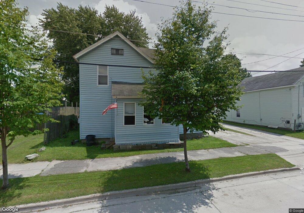
50 Spring St Pittsfield, MA 01201
Estimated Value: $167,909 - $255,000
3
Beds
1
Bath
1,440
Sq Ft
$137/Sq Ft
Est. Value
About This Home
This home is located at 50 Spring St, Pittsfield, MA 01201 and is currently estimated at $197,977, approximately $137 per square foot. 50 Spring St is a home located in Berkshire County with nearby schools including Morningside Community School, Theodore Herberg Middle School, and Pittsfield High School.
Ownership History
Date
Name
Owned For
Owner Type
Purchase Details
Closed on
Apr 23, 2010
Sold by
Skiff Colleen A and Howie Maureen N
Bought by
Kent Donna M
Current Estimated Value
Purchase Details
Closed on
Jan 26, 1995
Sold by
Carr James C
Bought by
Heath Development Corp
Purchase Details
Closed on
Feb 25, 1994
Sold by
Tsarnas Charles P
Bought by
Heath Development Corp
Create a Home Valuation Report for This Property
The Home Valuation Report is an in-depth analysis detailing your home's value as well as a comparison with similar homes in the area
Home Values in the Area
Average Home Value in this Area
Purchase History
| Date | Buyer | Sale Price | Title Company |
|---|---|---|---|
| Kent Donna M | -- | -- | |
| Kent Donna M | -- | -- | |
| Kent Donna M | -- | -- | |
| Heath Development Corp | $82,000 | -- | |
| Heath Development Corp | $82,000 | -- | |
| Heath Development Corp | $26,302 | -- |
Source: Public Records
Mortgage History
| Date | Status | Borrower | Loan Amount |
|---|---|---|---|
| Previous Owner | Heath Development Corp | $1,671 | |
| Previous Owner | Heath Development Corp | $20,000 |
Source: Public Records
Tax History
| Year | Tax Paid | Tax Assessment Tax Assessment Total Assessment is a certain percentage of the fair market value that is determined by local assessors to be the total taxable value of land and additions on the property. | Land | Improvement |
|---|---|---|---|---|
| 2025 | $2,879 | $160,500 | $27,600 | $132,900 |
| 2024 | $2,458 | $133,200 | $27,600 | $105,600 |
| 2023 | $2,266 | $123,700 | $27,600 | $96,100 |
| 2022 | $2,021 | $108,900 | $25,400 | $83,500 |
| 2021 | $1,944 | $101,000 | $25,400 | $75,600 |
| 2020 | $1,939 | $98,400 | $25,400 | $73,000 |
| 2019 | $1,845 | $95,000 | $25,400 | $69,600 |
| 2018 | $1,849 | $92,400 | $25,400 | $67,000 |
| 2017 | $1,731 | $88,200 | $23,700 | $64,500 |
| 2016 | $1,623 | $86,500 | $23,700 | $62,800 |
| 2015 | $1,562 | $86,500 | $23,700 | $62,800 |
Source: Public Records
Map
Nearby Homes
- 56 Spring St
- 48 Brown St
- 118 Lincoln St
- 29 Glenwood Ave
- 10 Cherry St
- 0 Courtland Place
- 76 Stoddard Ave
- 0 Parker St
- 269 Second St
- 1 1/2 Cherry St
- 27 Pleasant St
- 0 Brown St
- 3 Pleasant St
- 26 Springside Ave
- I11001904 Scammell Ave
- 33 Maplewood Ave Unit 103
- 762 East St
- 71 Dickinson Ave
- 30 Edgewood Rd
- 58 Seymour St
Your Personal Tour Guide
Ask me questions while you tour the home.