Estimated Value: $683,000 - $763,000
3
Beds
3
Baths
2,006
Sq Ft
$357/Sq Ft
Est. Value
About This Home
This home is located at 50 Stocklan Cir, Dover, NH 03820 and is currently estimated at $715,216, approximately $356 per square foot. 50 Stocklan Cir is a home with nearby schools including Woodman Park School, Dover Middle School, and Dover Senior High School.
Ownership History
Date
Name
Owned For
Owner Type
Purchase Details
Closed on
Sep 8, 2015
Sold by
Tolend Rd Properties L
Bought by
Steward Bethany A and Steward Michael R
Current Estimated Value
Home Financials for this Owner
Home Financials are based on the most recent Mortgage that was taken out on this home.
Original Mortgage
$358,209
Outstanding Balance
$282,877
Interest Rate
4.07%
Mortgage Type
VA
Estimated Equity
$432,339
Create a Home Valuation Report for This Property
The Home Valuation Report is an in-depth analysis detailing your home's value as well as a comparison with similar homes in the area
Home Values in the Area
Average Home Value in this Area
Purchase History
| Date | Buyer | Sale Price | Title Company |
|---|---|---|---|
| Steward Bethany A | $346,800 | -- |
Source: Public Records
Mortgage History
| Date | Status | Borrower | Loan Amount |
|---|---|---|---|
| Open | Steward Bethany A | $358,209 |
Source: Public Records
Tax History Compared to Growth
Tax History
| Year | Tax Paid | Tax Assessment Tax Assessment Total Assessment is a certain percentage of the fair market value that is determined by local assessors to be the total taxable value of land and additions on the property. | Land | Improvement |
|---|---|---|---|---|
| 2024 | $11,985 | $659,600 | $152,100 | $507,500 |
| 2023 | $10,809 | $578,000 | $132,600 | $445,400 |
| 2022 | $10,354 | $521,900 | $117,000 | $404,900 |
| 2021 | $10,004 | $461,000 | $109,200 | $351,800 |
| 2020 | $9,547 | $384,200 | $105,300 | $278,900 |
| 2019 | $9,338 | $370,700 | $97,500 | $273,200 |
| 2018 | $9,086 | $364,600 | $93,600 | $271,000 |
| 2017 | $9,026 | $348,900 | $85,800 | $263,100 |
| 2016 | $8,552 | $325,300 | $78,300 | $247,000 |
| 2015 | $1,283 | $48,200 | $48,200 | $0 |
| 2014 | $642 | $24,700 | $24,700 | $0 |
| 2011 | $73 | $2,900 | $2,900 | $0 |
Source: Public Records
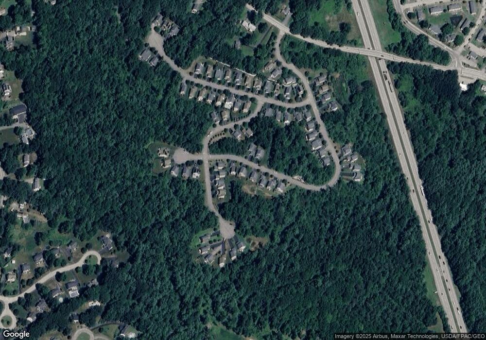
Map
Nearby Homes
- 12 Stocklan Cir
- 2 Arcola St
- 28 Singh Dr
- 5 Prospect St
- Lot 4 Emerson Ridge Unit 4
- 20 Whittier St
- 24-26 W Concord St
- 66 Littleworth Rd
- 24 Conifer Commons
- 80 Glenwood Ave
- E42-A Tolend Rd
- 63 Sixth St
- 98 Silver St
- 284 Tolend Rd
- 58 Saint Thomas St
- 0 Hemlock Rd Unit 5059998
- 79 Silver St
- 60 Horne St
- 8 Trestle Way
- 47 Central Ave
- 52 Stocklan Cir
- 48 Stocklan Cir
- 46 Stocklan Cir
- 26 Sandras Run
- 28 Sandras Run
- 69 Stocklan Cir
- 67 Stocklan Cir
- 51 Stocklan Cir
- 30 Sandras Run
- 49 Stocklan Cir
- 44 Stocklan Cir
- 0 Lot 13 Sandra's Run Unit 4330894
- 0 Lot 52 Sandra's Run Unit 4394109
- 0 Lot# 53 Sandra's Run Unit 4402365
- 0 Lot 55 Sandra's Run Unit 4404887
- 0 Lot 61 Sandra's Run Unit 4416253
- 0 Lot 59 Sandra's Run Unit 4442179
- 0 Lot 58 Sandra's Run Unit 4442163
- 10 Sandras Run
- 2 Stocklan Cir