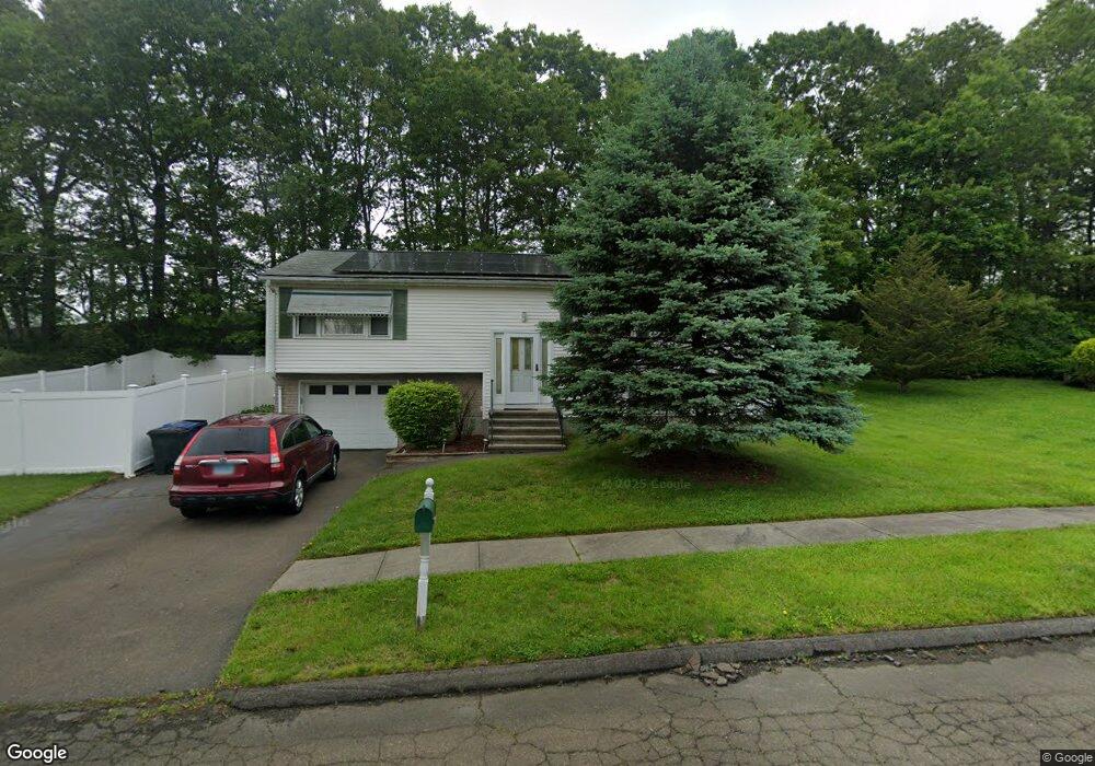
50 Sundance Cir West Haven, CT 06516
West Shore NeighborhoodEstimated Value: $425,000 - $499,000
3
Beds
2
Baths
1,248
Sq Ft
$364/Sq Ft
Est. Value
About This Home
This home is located at 50 Sundance Cir, West Haven, CT 06516 and is currently estimated at $453,954, approximately $363 per square foot. 50 Sundance Cir is a home located in New Haven County with nearby schools including Carrigan 5/6 Intermediate School, Harry M. Bailey Middle School, and West Haven High School.
Ownership History
Date
Name
Owned For
Owner Type
Purchase Details
Closed on
Sep 22, 2004
Sold by
Hazard John D and Koenigsaecket Dorothy A
Bought by
Brooks Francis E
Current Estimated Value
Home Financials for this Owner
Home Financials are based on the most recent Mortgage that was taken out on this home.
Original Mortgage
$247,500
Outstanding Balance
$66,188
Interest Rate
5.89%
Mortgage Type
Purchase Money Mortgage
Estimated Equity
$387,766
Purchase Details
Closed on
Sep 29, 1998
Sold by
Klimkowsky Barbara and Klimkowsky William N
Bought by
Hazard John D and Koenigsaecker Dorothy
Home Financials for this Owner
Home Financials are based on the most recent Mortgage that was taken out on this home.
Original Mortgage
$132,000
Interest Rate
6.54%
Mortgage Type
Purchase Money Mortgage
Create a Home Valuation Report for This Property
The Home Valuation Report is an in-depth analysis detailing your home's value as well as a comparison with similar homes in the area
Home Values in the Area
Average Home Value in this Area
Purchase History
| Date | Buyer | Sale Price | Title Company |
|---|---|---|---|
| Brooks Francis E | $275,000 | -- | |
| Hazard John D | $139,000 | -- | |
| Brooks Francis E | $275,000 | -- | |
| Hazard John D | $139,000 | -- |
Source: Public Records
Mortgage History
| Date | Status | Borrower | Loan Amount |
|---|---|---|---|
| Open | Hazard John D | $247,500 | |
| Closed | Hazard John D | $247,500 | |
| Previous Owner | Hazard John D | $159,712 | |
| Previous Owner | Hazard John D | $132,000 |
Source: Public Records
Tax History Compared to Growth
Tax History
| Year | Tax Paid | Tax Assessment Tax Assessment Total Assessment is a certain percentage of the fair market value that is determined by local assessors to be the total taxable value of land and additions on the property. | Land | Improvement |
|---|---|---|---|---|
| 2025 | $8,403 | $255,640 | $77,630 | $178,010 |
| 2024 | $7,915 | $168,910 | $53,830 | $115,080 |
| 2023 | $7,618 | $168,910 | $53,830 | $115,080 |
| 2022 | $7,481 | $168,910 | $53,830 | $115,080 |
| 2021 | $7,481 | $168,910 | $53,830 | $115,080 |
| 2020 | $7,486 | $154,000 | $49,700 | $104,300 |
| 2019 | $7,247 | $154,000 | $49,700 | $104,300 |
| 2018 | $7,144 | $154,000 | $49,700 | $104,300 |
| 2017 | $6,952 | $154,000 | $49,700 | $104,300 |
| 2016 | $6,874 | $154,000 | $49,700 | $104,300 |
| 2015 | $7,401 | $185,570 | $53,130 | $132,440 |
| 2014 | $7,401 | $185,570 | $53,130 | $132,440 |
Source: Public Records
Map
Nearby Homes
- 67 Putney Dr
- 157 Bull Hill Ln Unit 207
- 84 Eileen Rd
- 105 Pheasant Rd
- 182 Meloy Rd
- 79 Claudia Dr Unit 256
- 79 Claudia Dr Unit 358
- 17 Ellyn Ct
- 387 W Spring St
- 62 Tuthill St
- 23 Meadowbrook Rd
- 26 Meadowbrook Rd
- 107 Tuthill St
- 56 Edward St
- 39 Medford St
- 80 Phipps Dr
- 489 Morgan Ln
- 89 Coleman St Unit 213
- 12 Linda St
- 57 Dalton St