50 Twelve Oaks Rd Seabrook, SC 29940
Seabrook NeighborhoodEstimated Value: $662,000 - $1,195,977
4
Beds
3
Baths
3,200
Sq Ft
$280/Sq Ft
Est. Value
About This Home
This home is located at 50 Twelve Oaks Rd, Seabrook, SC 29940 and is currently estimated at $897,494, approximately $280 per square foot. 50 Twelve Oaks Rd is a home located in Beaufort County with nearby schools including Whale Branch Elementary School, Whale Branch Middle School, and Whale Branch Early College High School.
Ownership History
Date
Name
Owned For
Owner Type
Purchase Details
Closed on
Aug 30, 2012
Sold by
Sammons William C
Bought by
Blackston Jason R and Blackston Kelley M
Current Estimated Value
Home Financials for this Owner
Home Financials are based on the most recent Mortgage that was taken out on this home.
Original Mortgage
$70,000
Interest Rate
3.58%
Mortgage Type
New Conventional
Create a Home Valuation Report for This Property
The Home Valuation Report is an in-depth analysis detailing your home's value as well as a comparison with similar homes in the area
Home Values in the Area
Average Home Value in this Area
Purchase History
| Date | Buyer | Sale Price | Title Company |
|---|---|---|---|
| Blackston Jason R | $400,000 | -- |
Source: Public Records
Mortgage History
| Date | Status | Borrower | Loan Amount |
|---|---|---|---|
| Closed | Blackston Jason R | $70,000 | |
| Closed | Blackston Jason R | $290,000 |
Source: Public Records
Tax History Compared to Growth
Tax History
| Year | Tax Paid | Tax Assessment Tax Assessment Total Assessment is a certain percentage of the fair market value that is determined by local assessors to be the total taxable value of land and additions on the property. | Land | Improvement |
|---|---|---|---|---|
| 2024 | $3,906 | $40,300 | $16,016 | $24,284 |
| 2023 | $3,906 | $40,300 | $16,016 | $24,284 |
| 2022 | $3,610 | $21,632 | $8,008 | $13,624 |
| 2021 | $3,565 | $21,632 | $8,008 | $13,624 |
| 2020 | $3,554 | $21,632 | $8,008 | $13,624 |
| 2019 | $3,486 | $21,632 | $8,008 | $13,624 |
| 2018 | $3,394 | $19,320 | $0 | $0 |
| 2017 | $2,910 | $16,800 | $0 | $0 |
| 2016 | $2,839 | $16,800 | $0 | $0 |
| 2014 | $2,622 | $25,220 | $0 | $0 |
Source: Public Records
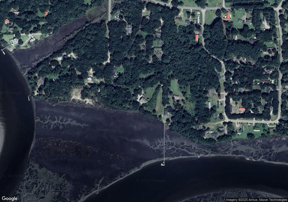
Map
Nearby Homes
- 127 Teal Bluff Blvd
- 117 Teal Bluff Blvd
- 20 Garrett Ln
- 40 Creekmoor Ln
- 10 Garrett Ln
- 18 McCalley Creek Ln
- 16 McCalley Creek Ln
- 20 McCalley Creek Ln
- 246 Stuart Point Rd
- 108 Stuart Point Rd
- 18 N Breeze Island
- 18 N Breeze Island
- 1611 Carolina Ave Unit A
- 1745 Jasperstone Cir
- 3 Santee Ln
- 160 Bruce K Smalls Dr
- 2216 Trask Pkwy
- 2074 Trask Pkwy
- 10 Bosquet Marais
- 26 Unity Ln
- 31 Cornelius Dr
- 37 Cornelius Dr
- 29 Cornelius Dr
- 53 Cornelius Dr
- 40 Delaney Cir
- 44 Delaney Cir
- 15 Cornelius Dr
- 22 Delaney Cir
- 13 Cornelius Dr
- 31 Delaney Cir
- 324 Stuart Point Rd
- 22 Cornelius Dr
- 332 Stuart Point Rd
- 50 Delaney Cir
- 25 Delaney Cir
- 27 Delaney Cir Unit !@123^
- 4 Delaney Cir
- 59 Cornelius Dr
- 45 Delaney Cir
- 327 Stuart Point Rd