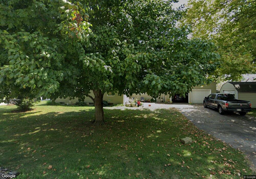
50 W Canal St Carroll, OH 43112
Estimated Value: $247,000 - $318,000
3
Beds
1
Bath
1,536
Sq Ft
$187/Sq Ft
Est. Value
About This Home
This home is located at 50 W Canal St, Carroll, OH 43112 and is currently estimated at $287,080, approximately $186 per square foot. 50 W Canal St is a home located in Fairfield County with nearby schools including Bloom Carroll Primary School, Bloom Carroll Intermediate School, and Bloom-Carroll Middle School.
Ownership History
Date
Name
Owned For
Owner Type
Purchase Details
Closed on
Jun 26, 2001
Sold by
Dent Alan N
Bought by
High Eric J Kimberly
Current Estimated Value
Home Financials for this Owner
Home Financials are based on the most recent Mortgage that was taken out on this home.
Original Mortgage
$143,350
Outstanding Balance
$47,295
Interest Rate
7%
Mortgage Type
New Conventional
Estimated Equity
$239,785
Purchase Details
Closed on
Nov 22, 1999
Sold by
Est John D Fleckner
Bought by
Tayner Vicki L
Home Financials for this Owner
Home Financials are based on the most recent Mortgage that was taken out on this home.
Original Mortgage
$92,000
Interest Rate
7.88%
Mortgage Type
New Conventional
Purchase Details
Closed on
Dec 1, 1990
Create a Home Valuation Report for This Property
The Home Valuation Report is an in-depth analysis detailing your home's value as well as a comparison with similar homes in the area
Home Values in the Area
Average Home Value in this Area
Purchase History
| Date | Buyer | Sale Price | Title Company |
|---|---|---|---|
| High Eric J Kimberly | $112,000 | -- | |
| Tayner Vicki L | $115,000 | -- | |
| -- | $81,900 | -- |
Source: Public Records
Mortgage History
| Date | Status | Borrower | Loan Amount |
|---|---|---|---|
| Open | High Eric J Kimberly | $143,350 | |
| Previous Owner | Tayner Vicki L | $92,000 |
Source: Public Records
Tax History Compared to Growth
Tax History
| Year | Tax Paid | Tax Assessment Tax Assessment Total Assessment is a certain percentage of the fair market value that is determined by local assessors to be the total taxable value of land and additions on the property. | Land | Improvement |
|---|---|---|---|---|
| 2024 | $5,601 | $70,270 | $15,610 | $54,660 |
| 2023 | $3,042 | $70,270 | $15,610 | $54,660 |
| 2022 | $3,064 | $70,270 | $15,610 | $54,660 |
| 2021 | $2,114 | $47,670 | $13,010 | $34,660 |
| 2020 | $2,140 | $47,670 | $13,010 | $34,660 |
| 2019 | $2,149 | $47,670 | $13,010 | $34,660 |
| 2018 | $2,106 | $37,750 | $13,010 | $24,740 |
| 2017 | $1,974 | $48,090 | $13,010 | $35,080 |
| 2016 | $1,914 | $48,090 | $13,010 | $35,080 |
| 2015 | $1,781 | $43,580 | $13,010 | $30,570 |
| 2014 | $1,701 | $43,580 | $13,010 | $30,570 |
| 2013 | $1,701 | $43,580 | $13,010 | $30,570 |
Source: Public Records
Map
Nearby Homes
- 52 W Canal St
- 62 Oberle Ave
- 2155 Carroll-Southern Rd NW
- 5341 Carnes Rd
- 6920 Winchester Rd NW
- 4180 Stone Hill Drive East NW
- 4656 Meadow Grove Dr NW
- 4900 Pickerington Rd NW
- 3738 Arrowhead Dr NW
- 5726 Bish Rd
- 8322 Benson Rd
- 2831 Sterling Dr NW
- 1975 Lamb Rd NW
- 7936 Allen Rd
- 0 Pleasantville Rd NW Unit Lot 7
- 5560 Amanda Northern Rd NW
- 7985 Lithopolis Rd NW
- 7234 Pickerington Rd
- 4077 Basil Western Rd NW
- 4129 Brook Rd NW