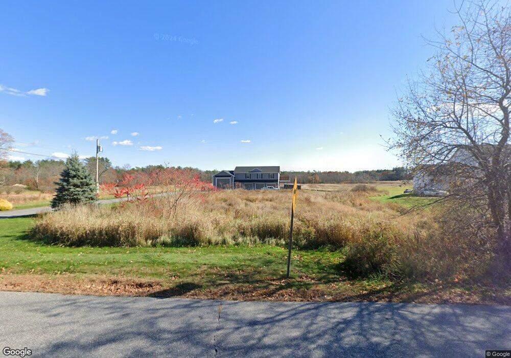
50 Weare Rd Seabrook, NH 03874
Estimated Value: $829,000 - $1,370,000
4
Beds
4
Baths
3,888
Sq Ft
$300/Sq Ft
Est. Value
About This Home
This home is located at 50 Weare Rd, Seabrook, NH 03874 and is currently estimated at $1,166,088, approximately $299 per square foot. 50 Weare Rd is a home with nearby schools including Seabrook Elementary School, Seabrook Middle School, and Winnacunnet High School.
Create a Home Valuation Report for This Property
The Home Valuation Report is an in-depth analysis detailing your home's value as well as a comparison with similar homes in the area
Home Values in the Area
Average Home Value in this Area
Tax History Compared to Growth
Tax History
| Year | Tax Paid | Tax Assessment Tax Assessment Total Assessment is a certain percentage of the fair market value that is determined by local assessors to be the total taxable value of land and additions on the property. | Land | Improvement |
|---|---|---|---|---|
| 2024 | $12,020 | $1,025,600 | $263,600 | $762,000 |
| 2023 | $13,119 | $869,400 | $218,500 | $650,900 |
| 2022 | $11,520 | $869,400 | $218,500 | $650,900 |
| 2021 | $11,665 | $849,600 | $198,700 | $650,900 |
| 2020 | $8,728 | $546,500 | $165,600 | $380,900 |
| 2019 | $8,607 | $546,500 | $165,600 | $380,900 |
| 2018 | $6,962 | $428,400 | $151,700 | $276,700 |
| 2017 | $3,525 | $216,900 | $126,400 | $90,500 |
| 2016 | $1,785 | $120,700 | $120,700 | $0 |
| 2015 | $1,662 | $112,400 | $112,400 | $0 |
| 2014 | $1,716 | $112,400 | $112,400 | $0 |
| 2013 | $1,716 | $112,400 | $112,400 | $0 |
Source: Public Records
Map
Nearby Homes
- 22 Maple Ridge Rd
- 213 New Hampshire 107
- 75 Border Winds Ave
- 2 Adder Ln
- 84 Blacksnake Rd Unit A
- 84 Blacksnake Rd Unit B
- 253 Amesbury Rd
- 61 Folly Mill Rd
- 81 Elm Ct
- 47 Scott Ave
- 106 Folly Mill Rd
- 226 Amesbury Rd
- 46 Kensington Rd
- 17 Drinkwater Rd
- 38 Rocks Rd Unit 2
- 38 Rocks Rd Unit 1
- 63 Drinkwater Rd
- 100 Drinkwater Rd
- 20 Railroad Ave
- 1 Lakeshore Dr