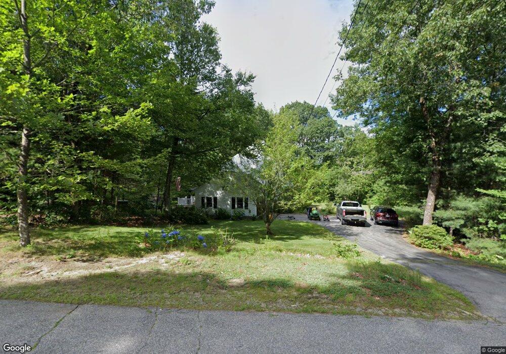
50 Westview Rd Brookline, NH 03033
Estimated Value: $595,000 - $695,000
4
Beds
3
Baths
2,557
Sq Ft
$258/Sq Ft
Est. Value
About This Home
This home is located at 50 Westview Rd, Brookline, NH 03033 and is currently estimated at $660,053, approximately $258 per square foot. 50 Westview Rd is a home with nearby schools including Richard Maghakian Memorial School, Captain Samuel Douglass Academy, and Hollis-Brookline Middle School.
Ownership History
Date
Name
Owned For
Owner Type
Purchase Details
Closed on
Sep 30, 1996
Sold by
Morningside Bldrs Llc
Bought by
Creamer Carlton T
Current Estimated Value
Home Financials for this Owner
Home Financials are based on the most recent Mortgage that was taken out on this home.
Original Mortgage
$174,937
Interest Rate
7.83%
Create a Home Valuation Report for This Property
The Home Valuation Report is an in-depth analysis detailing your home's value as well as a comparison with similar homes in the area
Home Values in the Area
Average Home Value in this Area
Purchase History
| Date | Buyer | Sale Price | Title Company |
|---|---|---|---|
| Creamer Carlton T | $179,600 | -- |
Source: Public Records
Mortgage History
| Date | Status | Borrower | Loan Amount |
|---|---|---|---|
| Open | Creamer Carlton T | $278,350 | |
| Closed | Creamer Carlton T | $296,000 | |
| Closed | Creamer Carlton T | $220,000 | |
| Closed | Creamer Carlton T | $174,937 |
Source: Public Records
Tax History Compared to Growth
Tax History
| Year | Tax Paid | Tax Assessment Tax Assessment Total Assessment is a certain percentage of the fair market value that is determined by local assessors to be the total taxable value of land and additions on the property. | Land | Improvement |
|---|---|---|---|---|
| 2024 | $12,535 | $554,400 | $208,200 | $346,200 |
| 2023 | $11,520 | $554,400 | $208,200 | $346,200 |
| 2022 | $10,170 | $342,200 | $131,700 | $210,500 |
| 2021 | $9,780 | $342,200 | $131,700 | $210,500 |
| 2020 | $9,513 | $342,200 | $131,700 | $210,500 |
| 2019 | $10,222 | $342,200 | $131,700 | $210,500 |
| 2018 | $10,115 | $342,200 | $131,700 | $210,500 |
| 2017 | $8,963 | $272,100 | $101,400 | $170,700 |
| 2016 | $8,860 | $272,100 | $101,400 | $170,700 |
| 2015 | $8,449 | $272,100 | $101,400 | $170,700 |
| 2014 | $8,938 | $272,100 | $101,400 | $170,700 |
| 2013 | $8,607 | $272,100 | $101,400 | $170,700 |
Source: Public Records
Map
Nearby Homes
- 8 Colburn Rd
- 2 Ninth St
- 303 Route 13
- 93 Old Milford Rd
- 5 Carons Way
- 172 Hayden Rd
- 00 Ruonala Rd
- 167 Route 13
- 28A Rocky Pond Rd
- 36 Berkeley Place
- 686 Route 13 S
- 22 Hobart Hill Rd
- 131 Badger Hill Dr
- 104 N Mason Rd
- 3 Wood Ln
- 4-13 Woodmont Dr
- 102 Silver Lake Rd
- 38 Countryside Dr
- 26 Melendy Rd Unit 97
- 26 Melendy Rd Unit 42