50 Whatley Plantation Dr Helena, GA 31037
Estimated Value: $255,000 - $337,000
2
Beds
2
Baths
1,794
Sq Ft
$160/Sq Ft
Est. Value
About This Home
This home is located at 50 Whatley Plantation Dr, Helena, GA 31037 and is currently estimated at $286,649, approximately $159 per square foot. 50 Whatley Plantation Dr is a home located in Telfair County with nearby schools including Telfair County Elementary School, Telfair County Middle School, and Telfair County High School.
Ownership History
Date
Name
Owned For
Owner Type
Purchase Details
Closed on
Sep 15, 2021
Sold by
Ashbee Tom
Bought by
Polk Olivia
Current Estimated Value
Purchase Details
Closed on
Jul 24, 2009
Sold by
Bentley Gretchen E
Bought by
Ashbee Thomas B and Ashbee Shirley J
Purchase Details
Closed on
Jun 1, 2006
Sold by
Ashbee Berta
Bought by
Bentley Gretchen E
Purchase Details
Closed on
Jul 27, 2005
Sold by
Bentley Gretchen E
Bought by
Ashley Berta
Create a Home Valuation Report for This Property
The Home Valuation Report is an in-depth analysis detailing your home's value as well as a comparison with similar homes in the area
Home Values in the Area
Average Home Value in this Area
Purchase History
| Date | Buyer | Sale Price | Title Company |
|---|---|---|---|
| Polk Olivia | -- | -- | |
| Ashbee Thomas B | $161,000 | -- | |
| Bentley Gretchen E | -- | -- | |
| Ashley Berta | -- | -- |
Source: Public Records
Tax History Compared to Growth
Tax History
| Year | Tax Paid | Tax Assessment Tax Assessment Total Assessment is a certain percentage of the fair market value that is determined by local assessors to be the total taxable value of land and additions on the property. | Land | Improvement |
|---|---|---|---|---|
| 2024 | $2,645 | $90,826 | $1,644 | $89,182 |
| 2023 | $2,524 | $86,770 | $1,566 | $85,204 |
| 2022 | $2,638 | $90,620 | $1,566 | $89,054 |
| 2021 | $1,919 | $61,356 | $1,566 | $59,790 |
| 2020 | $1,692 | $53,205 | $1,566 | $51,639 |
| 2019 | $1,701 | $53,205 | $1,566 | $51,639 |
| 2018 | $1,712 | $53,205 | $1,566 | $51,639 |
| 2017 | $1,749 | $54,902 | $1,983 | $52,919 |
| 2016 | $1,749 | $54,902 | $1,983 | $52,919 |
| 2015 | -- | $54,902 | $1,983 | $52,919 |
| 2014 | -- | $56,736 | $1,579 | $55,157 |
| 2013 | -- | $55,836 | $1,578 | $54,257 |
Source: Public Records
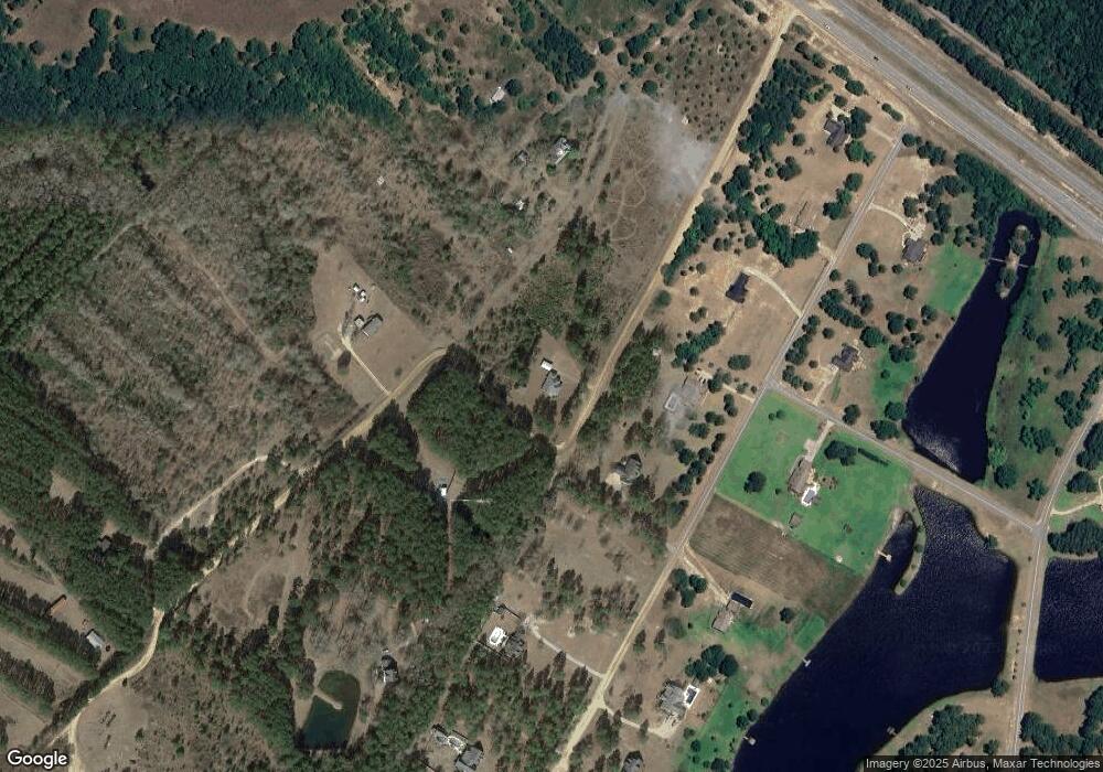
Map
Nearby Homes
- 77 Muscadine Dr
- 11 Stover White Dr
- 0 Concord Dr Unit 10542376
- 0 U S 23
- Lot 126 Pansy Ln
- 0 Jackson Ave Unit 10548102
- 17 2nd St
- 210 W Graham St
- 15 Ben Ave
- 0 Ll350 & 398 7th District Unit 30490
- 0 Center Ave
- 427 3rd Ave
- 78 S Second Ave
- 47 S First Ave
- 6689 Mcrae Hwy
- 125 Fifth Ave
- 141 S First Ave
- 76 E Grant St
- 27 E Bruce St
- 160 E Willow Creek Ln
- 26 Whatley Plantation Dr
- 50 Muscadine Dr
- 38 Muscadine Dr
- 68 Muscadine Dr
- 0 Muscadine Dr Unit 8984243
- 0 Muscadine Dr
- 27 Whatley Plantation Dr
- 39 Muscadine Dr
- 57 Muscadine Dr
- 25 Muscadine Dr
- 16 Muscadine Dr
- RTE 1 Muscegon Dr
- 80 Muscadine Dr
- 67 Muscadine Dr
- 4 Muscadine Dr
- 82 Muscadine Dr Unit 22&23
- 82 Muscadine Dr
- 77 Muscadine Dr Unit Whatley Vineyard Sub
- 12 Acres Whatley Plantation Dr
- 5 Muscadine Dr