50 Whitetail Cir Southbridge, MA 01550
Estimated Value: $396,000 - $423,000
3
Beds
2
Baths
1,272
Sq Ft
$322/Sq Ft
Est. Value
About This Home
This home is located at 50 Whitetail Cir, Southbridge, MA 01550 and is currently estimated at $409,527, approximately $321 per square foot. 50 Whitetail Cir is a home located in Worcester County with nearby schools including Trinity Catholic Academy.
Ownership History
Date
Name
Owned For
Owner Type
Purchase Details
Closed on
Nov 30, 2015
Sold by
Olival John A and Olival Karen L
Bought by
Olival Lt and Olival John A
Current Estimated Value
Purchase Details
Closed on
Oct 1, 2007
Sold by
Citimortgage Inc
Bought by
Olival John A and Olival Karen L
Home Financials for this Owner
Home Financials are based on the most recent Mortgage that was taken out on this home.
Original Mortgage
$190,000
Interest Rate
6.65%
Mortgage Type
Purchase Money Mortgage
Purchase Details
Closed on
Jun 14, 2007
Sold by
Rose Suzanne
Bought by
Citimortgage Inc
Create a Home Valuation Report for This Property
The Home Valuation Report is an in-depth analysis detailing your home's value as well as a comparison with similar homes in the area
Home Values in the Area
Average Home Value in this Area
Purchase History
| Date | Buyer | Sale Price | Title Company |
|---|---|---|---|
| Olival Lt | -- | -- | |
| Olival John A | $237,900 | -- | |
| Citimortgage Inc | $240,300 | -- |
Source: Public Records
Mortgage History
| Date | Status | Borrower | Loan Amount |
|---|---|---|---|
| Previous Owner | Olival John A | $190,000 |
Source: Public Records
Tax History Compared to Growth
Tax History
| Year | Tax Paid | Tax Assessment Tax Assessment Total Assessment is a certain percentage of the fair market value that is determined by local assessors to be the total taxable value of land and additions on the property. | Land | Improvement |
|---|---|---|---|---|
| 2025 | $5,588 | $381,200 | $45,100 | $336,100 |
| 2024 | $5,636 | $369,300 | $37,500 | $331,800 |
| 2023 | $5,446 | $343,800 | $37,500 | $306,300 |
| 2022 | $5,153 | $287,900 | $32,000 | $255,900 |
| 2021 | $4,881 | $251,100 | $32,000 | $219,100 |
| 2020 | $4,665 | $239,500 | $32,000 | $207,500 |
| 2018 | $4,488 | $216,300 | $32,000 | $184,300 |
| 2017 | $4,182 | $203,300 | $32,000 | $171,300 |
| 2016 | $3,959 | $195,900 | $32,000 | $163,900 |
| 2015 | $3,832 | $188,200 | $35,200 | $153,000 |
| 2014 | $3,553 | $180,900 | $35,200 | $145,700 |
Source: Public Records
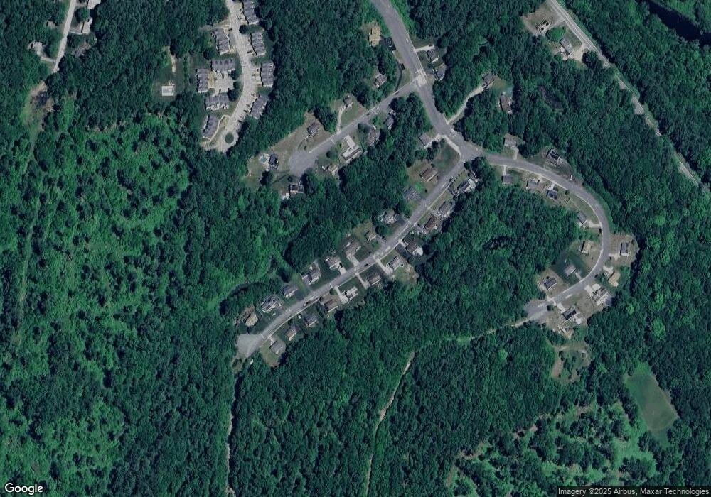
Map
Nearby Homes
- 768 Ashland Ave
- 325 Ashland Ave Unit 10
- 325 Ashland Ave Unit 2
- 325 Ashland Ave Unit 12
- 4 W Dudley Rd
- 0 Old North Woodstock Rd
- 717 Tipton Rock Rd
- 280 Dudley Southbridge Rd
- 0 Brentwood Dr
- 249 Dudley Southbridge Rd
- 104 Hilltop Dr Unit 2
- 29 Arland Dr
- 1023 N Woodstock Rd
- 51 Warren St
- 112 Chestnut St
- 6 Blackwell Dr
- 13 Coombs St
- 38 Meadowbrook Rd
- 0 Alpine Dr
- 99 Lebanon Hill Rd
- 44 Whitetail Cir
- 56 Whitetail Cir
- 205 Whitetail Cir
- Lot 111 Whitetail Cir
- Lot 228 Whitetail Cir
- lot 229 Whitetail Cir
- Lot 112 Whitetail Cir
- Lot 114 Whitetail Cir
- 204 Whitetail Cir
- 206 Whitetail Cir
- 62 Whitetail Cir
- 32 Whitetail Cir
- 51 Whitetail Cir
- 35 Quail Run
- 55 Whitetail Cir
- 43 Whitetail Cir
- 63 Whitetail Cir
- 43 Quail Run
- 33 Whitetail Cir
- 68 Whitetail Cir