50 Wilderness Trail Wakefield, RI 02879
Estimated Value: $816,000 - $2,336,000
5
Beds
5
Baths
3,448
Sq Ft
$452/Sq Ft
Est. Value
About This Home
This home is located at 50 Wilderness Trail, Wakefield, RI 02879 and is currently estimated at $1,559,702, approximately $452 per square foot. 50 Wilderness Trail is a home located in Washington County with nearby schools including South Kingstown High School.
Ownership History
Date
Name
Owned For
Owner Type
Purchase Details
Closed on
Mar 21, 2024
Sold by
Carol M Mania Relt M and Carol Mania
Bought by
Philip R Mania T R and Philip Maria
Current Estimated Value
Purchase Details
Closed on
Dec 9, 2021
Sold by
Maria Philip R
Bought by
Philip R Mania T R and Philip Mania
Purchase Details
Closed on
Feb 3, 2021
Sold by
Mania Carol M
Bought by
Carol M Mania Rt and Mania
Create a Home Valuation Report for This Property
The Home Valuation Report is an in-depth analysis detailing your home's value as well as a comparison with similar homes in the area
Home Values in the Area
Average Home Value in this Area
Purchase History
| Date | Buyer | Sale Price | Title Company |
|---|---|---|---|
| Philip R Mania T R | -- | None Available | |
| Philip R Mania T R | -- | None Available | |
| Carol M Mania Rt | -- | None Available |
Source: Public Records
Tax History Compared to Growth
Tax History
| Year | Tax Paid | Tax Assessment Tax Assessment Total Assessment is a certain percentage of the fair market value that is determined by local assessors to be the total taxable value of land and additions on the property. | Land | Improvement |
|---|---|---|---|---|
| 2025 | $17,642 | $1,973,400 | $539,900 | $1,433,500 |
| 2024 | $14,820 | $1,341,200 | $491,800 | $849,400 |
| 2023 | $14,820 | $1,341,200 | $491,800 | $849,400 |
| 2022 | $14,686 | $1,341,200 | $491,800 | $849,400 |
| 2021 | $13,483 | $933,100 | $312,600 | $620,500 |
| 2020 | $13,483 | $933,100 | $312,600 | $620,500 |
| 2019 | $13,483 | $933,100 | $312,600 | $620,500 |
| 2018 | $13,243 | $844,600 | $300,600 | $544,000 |
| 2017 | $12,931 | $844,600 | $300,600 | $544,000 |
| 2016 | $12,745 | $844,600 | $300,600 | $544,000 |
| 2015 | $11,913 | $767,600 | $276,200 | $491,400 |
| 2014 | $11,882 | $767,600 | $276,200 | $491,400 |
Source: Public Records
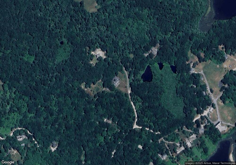
Map
Nearby Homes
- 380 Camp Fuller Rd
- 1591 Commodore Perry Hwy
- 40 Wild Rose Ct
- 103 Cedar Island Rd
- 16 High Tides Ln
- 2139 Commodore Oliver Hazard Perry Hwy
- 23 E Matunuck Farm Dr
- 47 Tuckertown Rd
- 76 Hartford Ave
- 17 Goose Island Rd
- 62 Daytona Ave
- 25 Scallop Shell Rd
- 60 Daytona Ave
- 35 Whittier Dr
- 37 Whittier Dr
- 689 Succotash Rd
- 691 Succotash Rd
- 45 Durkin Dr
- 576 Point Judith Rd
- 580 Point Judith Rd
- 100 Wilderness Trail
- 500 Camp Fuller Rd
- 301 Wood Hollow Rd
- 350 Wood Hollow Rd
- 222 Camp Fuller Rd
- 76 Camp Fuller Rd
- 619 Camp Fuller Rd
- 347 Camp Fuller Rd
- 557 Camp Fuller Rd
- 0013 Camp Fuller Rd
- 0024 Camp Fuller Rd
- 571 Camp Fuller Rd
- 591 Camp Fuller Rd
- 485 Camp Fuller Rd
- 605 Camp Fuller Rd
- 311 Camp Fuller Rd
- 455 Camp Fuller Rd
- 231 Wood Hollow Rd
- 01 Camp Fuller Rd
- 568 Post Rd