500 5th St N Montrose, MN 55363
Estimated Value: $325,976 - $349,000
4
Beds
3
Baths
1,279
Sq Ft
$265/Sq Ft
Est. Value
About This Home
This home is located at 500 5th St N, Montrose, MN 55363 and is currently estimated at $339,494, approximately $265 per square foot. 500 5th St N is a home located in Wright County with nearby schools including Montrose Elementary School, Buffalo Community Middle School, and Buffalo Senior High School.
Ownership History
Date
Name
Owned For
Owner Type
Purchase Details
Closed on
Dec 19, 2016
Sold by
Kempf William Ross and Kempf Luann K
Bought by
Kempf William Ross and Kempf Luann K
Current Estimated Value
Purchase Details
Closed on
Dec 15, 2016
Sold by
Larson Justin D and Larson Amy R
Bought by
Kempf William Ross and Larson Gary G
Purchase Details
Closed on
Sep 16, 2005
Sold by
Woodside Northridge Llc
Bought by
Larson Justin D and Sjoberg Amy R
Create a Home Valuation Report for This Property
The Home Valuation Report is an in-depth analysis detailing your home's value as well as a comparison with similar homes in the area
Home Values in the Area
Average Home Value in this Area
Purchase History
| Date | Buyer | Sale Price | Title Company |
|---|---|---|---|
| Kempf William Ross | -- | Watermark Title Agency | |
| Kempf William Ross | -- | Watermark Title Agency | |
| Larson Justin D | $201,297 | -- |
Source: Public Records
Tax History Compared to Growth
Tax History
| Year | Tax Paid | Tax Assessment Tax Assessment Total Assessment is a certain percentage of the fair market value that is determined by local assessors to be the total taxable value of land and additions on the property. | Land | Improvement |
|---|---|---|---|---|
| 2025 | $3,858 | $304,400 | $60,000 | $244,400 |
| 2024 | $3,860 | $303,100 | $65,000 | $238,100 |
| 2023 | $3,484 | $322,900 | $81,000 | $241,900 |
| 2022 | $3,394 | $285,100 | $72,000 | $213,100 |
| 2021 | $3,336 | $241,400 | $40,000 | $201,400 |
| 2020 | $3,148 | $232,400 | $35,000 | $197,400 |
| 2019 | $2,738 | $216,400 | $0 | $0 |
| 2018 | $2,458 | $177,500 | $0 | $0 |
| 2017 | $2,244 | $181,100 | $0 | $0 |
| 2016 | $2,132 | $0 | $0 | $0 |
| 2015 | $1,982 | $0 | $0 | $0 |
| 2014 | -- | $0 | $0 | $0 |
Source: Public Records
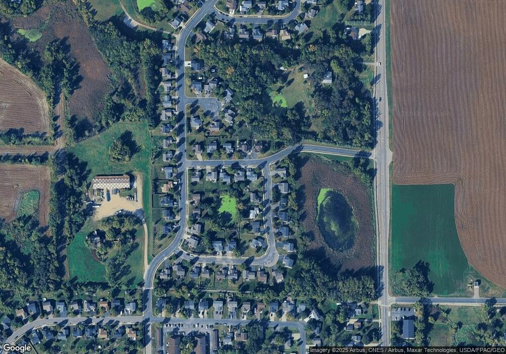
Map
Nearby Homes
- 426 Dillon Ave N
- 149 Mindy Ln
- 118 Crystal Ct
- 161 Mindy Ln Unit 9
- 726 7th St N
- 703 7th St N
- 684 Aspen Ln
- 137 Pheasant Ridge Dr
- 643 Fieldcrest Ave N
- 683 Aspen Ln
- 690 Aspen Ln
- 685 Aspen Ln
- 645 Fieldcrest Ave N
- 687 Aspen Ln
- 692 Aspen Ln
- 689 Aspen Ln
- 691 Aspen Ln
- 150 Pheasant Ridge Dr
- 693 Aspen Ln
- 695 Aspen Ln
- 502 5th St N
- 429 Dillon Ave N
- 432 Dillon Ave N
- 504 5th St N
- 430 Dillon Ave N
- 427 Dillon Ave N
- 428 Dillon Ave N
- 501 5th St N
- 503 5th St N
- 505 5th St N
- 505 5th St N
- 506 5th St N
- 425 Dillon Ave N
- 507 5th St N
- 426 Emerson Ave N
- 508 5th St N
- 424 Dillon Ave N
- 423 Dillon Ave N
- 424 Emerson Ave N
- 502 Emerson Ct