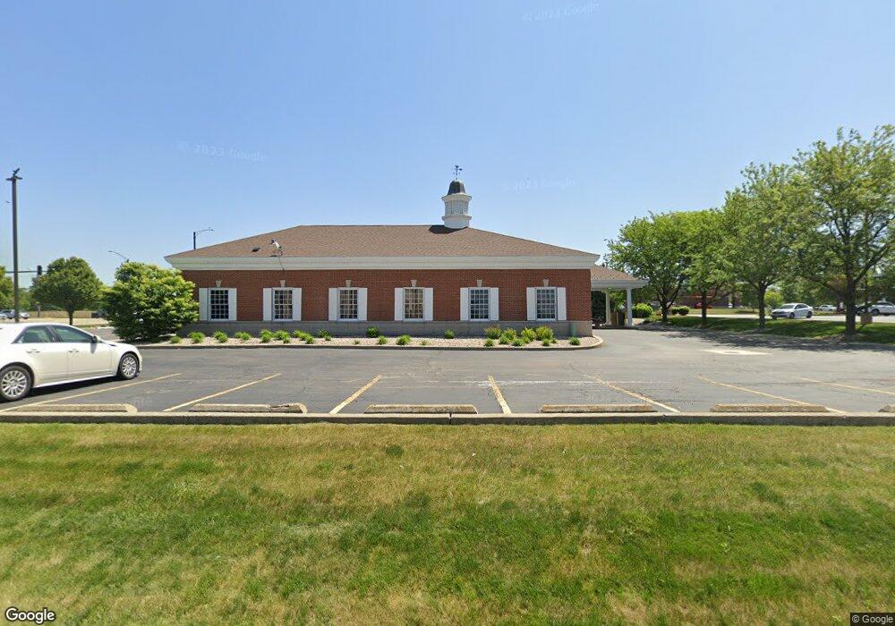
500 Bob Blair Rd Minooka, IL 60447
Estimated Value: $275,000 - $293,000
2
Beds
1
Bath
1,494
Sq Ft
$191/Sq Ft
Est. Value
About This Home
This home is located at 500 Bob Blair Rd, Minooka, IL 60447 and is currently estimated at $284,941, approximately $190 per square foot. 500 Bob Blair Rd is a home located in Grundy County with nearby schools including Minooka Primary Center, Minooka Elementary School, and Minooka Junior High School.
Ownership History
Date
Name
Owned For
Owner Type
Purchase Details
Closed on
May 27, 2021
Sold by
Schwartz Bruce A and Schwartz Bruce
Bought by
Partacz Gabrielle
Current Estimated Value
Home Financials for this Owner
Home Financials are based on the most recent Mortgage that was taken out on this home.
Original Mortgage
$211,500
Outstanding Balance
$192,166
Interest Rate
3.13%
Mortgage Type
Construction
Estimated Equity
$92,775
Purchase Details
Closed on
Apr 2, 2020
Sold by
Vanasdlen Brett
Bought by
Schwartz Bruce and Schwartz Cassidy
Purchase Details
Closed on
Dec 10, 2019
Sold by
Judicial Sales Corp
Bought by
Vanasdlen Brett Van
Create a Home Valuation Report for This Property
The Home Valuation Report is an in-depth analysis detailing your home's value as well as a comparison with similar homes in the area
Home Values in the Area
Average Home Value in this Area
Purchase History
| Date | Buyer | Sale Price | Title Company |
|---|---|---|---|
| Partacz Gabrielle | $235,500 | None Available | |
| Schwartz Bruce | $176,000 | Fidelity National Title | |
| Vanasdlen Brett Van | $116,500 | None Available |
Source: Public Records
Mortgage History
| Date | Status | Borrower | Loan Amount |
|---|---|---|---|
| Open | Partacz Gabrielle | $211,500 |
Source: Public Records
Tax History Compared to Growth
Tax History
| Year | Tax Paid | Tax Assessment Tax Assessment Total Assessment is a certain percentage of the fair market value that is determined by local assessors to be the total taxable value of land and additions on the property. | Land | Improvement |
|---|---|---|---|---|
| 2024 | $6,220 | $77,543 | $16,380 | $61,163 |
| 2023 | $5,669 | $70,680 | $14,930 | $55,750 |
| 2022 | $4,790 | $65,718 | $13,882 | $51,836 |
| 2021 | $4,776 | $62,210 | $13,141 | $49,069 |
| 2020 | $4,959 | $59,510 | $12,571 | $46,939 |
| 2019 | $4,199 | $55,102 | $11,640 | $43,462 |
| 2018 | $3,439 | $45,243 | $11,510 | $33,733 |
| 2017 | $3,329 | $43,204 | $10,991 | $32,213 |
| 2016 | $3,094 | $40,555 | $10,317 | $30,238 |
| 2015 | $2,632 | $36,865 | $9,378 | $27,487 |
| 2014 | $2,384 | $34,831 | $8,861 | $25,970 |
| 2013 | $2,453 | $35,300 | $8,980 | $26,320 |
Source: Public Records
Map
Nearby Homes
- LOT 1 Bob Blair Rd
- 405 W Mondamin St
- 201 W Church St
- 103 E Coady Dr
- 401 Feeney Dr
- 308 Wabasso Place
- 504 Flanagan Dr Unit A
- LOT 28 O Toole Dr
- 406 Mccoy Ct
- 817 Casey Dr
- 601 Edgewater Dr
- 703 Stillwater Ct
- 713 Joanne Dr
- 605 High Grove Dr
- 101 Fieldcrest Ct
- 303 Grande Dr Unit A
- 802 Joanne Dr
- 107 Sibley Dr
- 278,279,280,281 Clover Cir
- Lots 298-301 Clover Cir
- 500 Bob Blair Rd
- 500 Bob Blair Rd
- 500 Bob Blair Rd
- 500 Bob Blair Rd
- 500 Bob Blair Rd
- 500 Bob Blair Rd
- 500 Bob Blair Rd
- 500 Bob Blair Rd
- LOT 3 Bob Blair Rd
- 600 Bob Blair Rd
- 541 Bob Blair Rd
- 621 Bob Blair Rd
- 104 Ridge Rd
- 104 Ridge Rd
- 661 Bob Blair Rd
- 506 W Mondamin St
- 520 W Mondamin St Unit 508-510
- 520 W Mondamin St
- 520 W Mondamin St Unit 2
- 553 W Mondamin St