500 Castle Mountain Dr Livermore, CO 80536
Estimated Value: $700,000 - $1,715,000
3
Beds
3
Baths
3,852
Sq Ft
$328/Sq Ft
Est. Value
About This Home
This home is located at 500 Castle Mountain Dr, Livermore, CO 80536 and is currently estimated at $1,262,218, approximately $327 per square foot. 500 Castle Mountain Dr is a home located in Larimer County with nearby schools including Red Feather Lakes Elementary School, Cache La Poudre Middle School, and Poudre High School.
Ownership History
Date
Name
Owned For
Owner Type
Purchase Details
Closed on
Jul 15, 2022
Sold by
Somjit Kunkel
Bought by
500 Castle Mountain Llc
Current Estimated Value
Purchase Details
Closed on
May 20, 2005
Sold by
Woronoff David S and Woronoff Karen G
Bought by
Kunkel Gregory P and Kunkel Somjit
Home Financials for this Owner
Home Financials are based on the most recent Mortgage that was taken out on this home.
Original Mortgage
$481,250
Interest Rate
5%
Mortgage Type
Fannie Mae Freddie Mac
Purchase Details
Closed on
Nov 7, 1997
Sold by
Woronoff David S
Bought by
Woronoff David S and Woronoff Karen G
Home Financials for this Owner
Home Financials are based on the most recent Mortgage that was taken out on this home.
Original Mortgage
$175,000
Interest Rate
7.23%
Mortgage Type
Construction
Purchase Details
Closed on
Dec 1, 1995
Sold by
Woronoff David S
Bought by
Woronoff David S
Create a Home Valuation Report for This Property
The Home Valuation Report is an in-depth analysis detailing your home's value as well as a comparison with similar homes in the area
Home Values in the Area
Average Home Value in this Area
Purchase History
| Date | Buyer | Sale Price | Title Company |
|---|---|---|---|
| 500 Castle Mountain Llc | -- | Fairfield And Woods Pc | |
| Kunkel Gregory P | $687,500 | -- | |
| Woronoff David S | -- | -- | |
| Woronoff David S | -- | -- |
Source: Public Records
Mortgage History
| Date | Status | Borrower | Loan Amount |
|---|---|---|---|
| Previous Owner | Kunkel Gregory P | $481,250 | |
| Previous Owner | Woronoff David S | $175,000 |
Source: Public Records
Tax History Compared to Growth
Tax History
| Year | Tax Paid | Tax Assessment Tax Assessment Total Assessment is a certain percentage of the fair market value that is determined by local assessors to be the total taxable value of land and additions on the property. | Land | Improvement |
|---|---|---|---|---|
| 2025 | $8,143 | $86,437 | $30,150 | $56,287 |
| 2024 | $7,758 | $86,437 | $30,150 | $56,287 |
| 2022 | $4,681 | $48,324 | $15,638 | $32,686 |
| 2021 | $4,733 | $49,714 | $16,088 | $33,626 |
| 2020 | $5,795 | $60,346 | $11,583 | $48,763 |
| 2019 | $5,819 | $60,346 | $11,583 | $48,763 |
| 2018 | $4,277 | $47,736 | $8,856 | $38,880 |
| 2017 | $4,262 | $47,736 | $8,856 | $38,880 |
| 2016 | $4,324 | $48,198 | $5,970 | $42,228 |
| 2015 | $4,293 | $48,200 | $5,970 | $42,230 |
| 2014 | $3,085 | $34,410 | $6,970 | $27,440 |
Source: Public Records
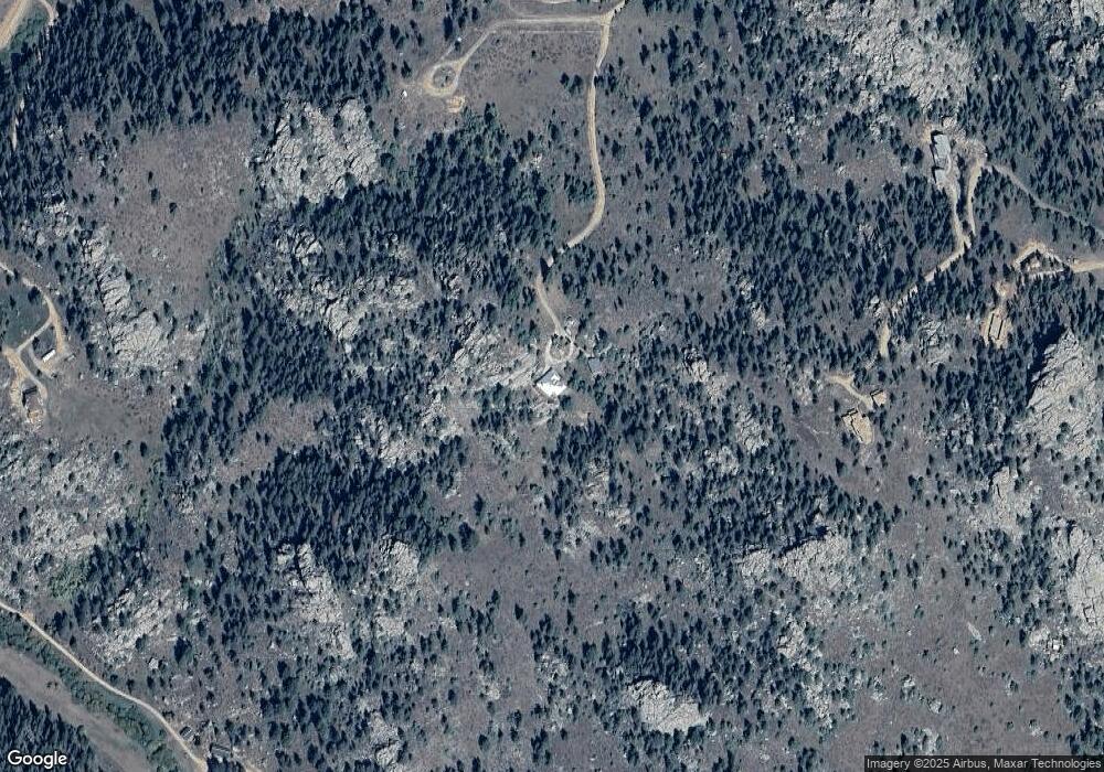
Map
Nearby Homes
- 366 N Rim Rd
- 78 Mount Champion Dr
- 775 Haystack Dr
- 180 Deep Cut Rd
- 1084 Iron Mountain Dr
- 98 Deadhorse Mountain Ct
- 131 Mount Apiatan Ct
- 241 Deadhorse Mountain Ct
- 636 Cucharas Mountain Dr
- 102 Mount Princeton Ct
- 166 Red Cloud Peak Ct
- 0 Shoshana Ranch Rd
- 0 Mountain Pony Rd
- 16420 W County Road 74e
- 81 Humboldt Dr
- 64 Mount Massive Dr
- 4092 Green Mountain Dr
- 0 Legacy Rock Rd
- 556 Bald Mountain Dr
- 569 Gordon Ct
- 177 Mount Peale Ct
- 397 Castle Mountain Rd
- 140 Mount Peale Ct
- 159 Mount Peale Ct
- 351 Castle Mountain Dr
- 370 N Rim Rd
- 158 Castle Mountain Dr
- 397 Castle Mt Dr
- 313 Castle Mountain Dr
- 313 Castle Mountain Dr
- 127 Iron Mountain Dr
- 119 Castle Ct
- 0 Iron Mountain Dr
- 79 Castle Ct
- 299 Iron Mountain Dr
- 139 Mount Belford Ct
- 274 Iron Mountain Dr
- 277 Castle Mountain Dr
- 86 Castle Ct
- 85 Mount Guero Ct