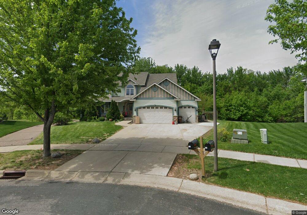
500 Castle Ridge Rd Watertown, MN 55388
Estimated Value: $530,000 - $619,000
3
Beds
3
Baths
2,530
Sq Ft
$224/Sq Ft
Est. Value
About This Home
This home is located at 500 Castle Ridge Rd, Watertown, MN 55388 and is currently estimated at $565,685, approximately $223 per square foot. 500 Castle Ridge Rd is a home located in Carver County with nearby schools including Watertown-Mayer Elementary School, Watertown-Mayer Middle School, and Watertown Mayer High School.
Ownership History
Date
Name
Owned For
Owner Type
Purchase Details
Closed on
Nov 25, 2009
Sold by
Kaduk Frank A and Kaduk Denise E
Bought by
Groth Roland G
Current Estimated Value
Purchase Details
Closed on
Feb 28, 2006
Sold by
Homeland Builders Inc
Bought by
Kaduk Frank A and Kaduk Denise E
Home Financials for this Owner
Home Financials are based on the most recent Mortgage that was taken out on this home.
Original Mortgage
$395,630
Interest Rate
5.87%
Mortgage Type
New Conventional
Purchase Details
Closed on
Sep 1, 2005
Sold by
Mj Watertown Development Llc
Bought by
Homeland Builders Inc
Home Financials for this Owner
Home Financials are based on the most recent Mortgage that was taken out on this home.
Original Mortgage
$340,000
Interest Rate
5.93%
Mortgage Type
Future Advance Clause Open End Mortgage
Create a Home Valuation Report for This Property
The Home Valuation Report is an in-depth analysis detailing your home's value as well as a comparison with similar homes in the area
Home Values in the Area
Average Home Value in this Area
Purchase History
| Date | Buyer | Sale Price | Title Company |
|---|---|---|---|
| Groth Roland G | $255,000 | -- | |
| Kaduk Frank A | $494,538 | -- | |
| Homeland Builders Inc | $124,900 | -- |
Source: Public Records
Mortgage History
| Date | Status | Borrower | Loan Amount |
|---|---|---|---|
| Previous Owner | Kaduk Frank A | $395,630 | |
| Previous Owner | Homeland Builders Inc | $340,000 |
Source: Public Records
Tax History Compared to Growth
Tax History
| Year | Tax Paid | Tax Assessment Tax Assessment Total Assessment is a certain percentage of the fair market value that is determined by local assessors to be the total taxable value of land and additions on the property. | Land | Improvement |
|---|---|---|---|---|
| 2025 | $7,068 | $571,900 | $115,000 | $456,900 |
| 2024 | $6,814 | $551,100 | $105,000 | $446,100 |
| 2023 | $6,908 | $551,100 | $105,000 | $446,100 |
| 2022 | $6,738 | $566,400 | $105,200 | $461,200 |
| 2021 | $6,926 | $465,900 | $87,600 | $378,300 |
| 2020 | $6,974 | $465,300 | $87,600 | $377,700 |
| 2019 | $6,620 | $442,700 | $83,400 | $359,300 |
| 2018 | $6,624 | $442,700 | $83,400 | $359,300 |
| 2017 | $5,940 | $415,200 | $75,900 | $339,300 |
| 2016 | $5,906 | $364,600 | $0 | $0 |
| 2015 | $6,262 | $345,000 | $0 | $0 |
| 2014 | $6,262 | $348,500 | $0 | $0 |
Source: Public Records
Map
Nearby Homes
- 1290 Knight Ln
- 1201 Bishop Cir
- 1221 Bishop Cir
- XXX Newton Ave SE
- 865 Quail Ct
- 555 Industrial Blvd
- 536 Industrial Blvd
- 575 Industrial Blvd
- 516 Industrial Blvd
- 829 Reo Rd
- 593 Sienna Dr
- 578 Sienna Dr
- 313 Angel Ave SW
- 600 Jefferson Ave SW
- 408 Franklin Ave SW
- xxx Stevens St SW
- 605 Stevens St SW Unit 43
- 115 Riverside Terrace Dr Unit 115
- 604 White St SW Unit 35
- 604 White St SW
- 501 Castle Ridge Rd
- 516 Castle Ridge Rd
- 534 Castle Ridge Rd
- 517 Castle Ridge Rd
- 525 Castle Ridge Rd
- 550 Castle Ridge Rd
- 1201 Knight Ln
- 510 Raleigh Cir
- 1221 Knight Ln
- 530 Raleigh Cir
- 568 Castle Ridge Rd
- 500 Raleigh Cir
- 1241 Knight Ln
- 584 Castle Ridge Rd
- 1261 Knight Ln
- 600 Castle Ridge Rd
- 1200 Knight Ln
- 1281 Knight Ln
- 1250 Knight Ln
- 549 Raleigh Cir