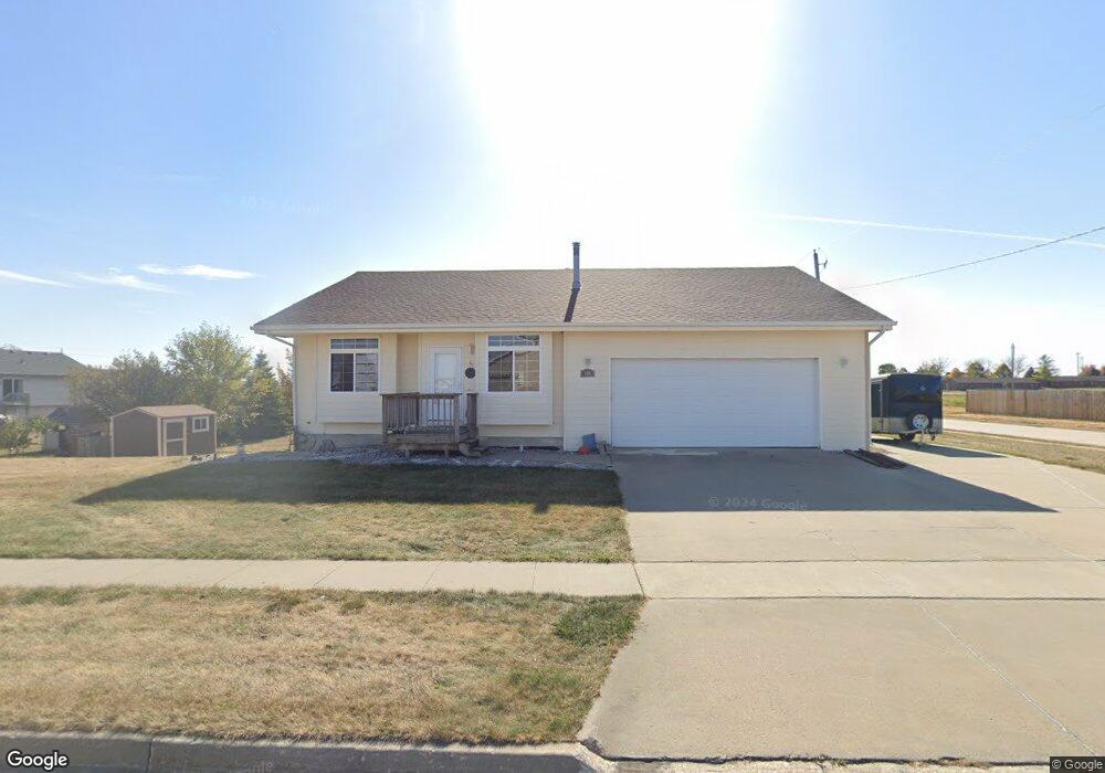
500 E Maple St Elkhart, IA 50073
Estimated Value: $277,000 - $317,000
2
Beds
2
Baths
1,287
Sq Ft
$235/Sq Ft
Est. Value
About This Home
This home is located at 500 E Maple St, Elkhart, IA 50073 and is currently estimated at $303,018, approximately $235 per square foot. 500 E Maple St is a home located in Polk County with nearby schools including North Polk Central Elementary School, North Polk West Elementary School, and North Polk Middle School.
Ownership History
Date
Name
Owned For
Owner Type
Purchase Details
Closed on
May 24, 2006
Sold by
Terrell Robert W and Terrell Deborah A
Bought by
Koester Larry L and Koester Constance L
Current Estimated Value
Home Financials for this Owner
Home Financials are based on the most recent Mortgage that was taken out on this home.
Original Mortgage
$18,350
Interest Rate
6.25%
Mortgage Type
Stand Alone Second
Create a Home Valuation Report for This Property
The Home Valuation Report is an in-depth analysis detailing your home's value as well as a comparison with similar homes in the area
Purchase History
| Date | Buyer | Sale Price | Title Company |
|---|---|---|---|
| Koester Larry L | $183,000 | Itc | |
| Terrell Robert W | $29,500 | Itc |
Source: Public Records
Mortgage History
| Date | Status | Borrower | Loan Amount |
|---|---|---|---|
| Closed | Terrell Robert W | $18,350 | |
| Open | Koester Larry L | $146,800 |
Source: Public Records
Tax History
| Year | Tax Paid | Tax Assessment Tax Assessment Total Assessment is a certain percentage of the fair market value that is determined by local assessors to be the total taxable value of land and additions on the property. | Land | Improvement |
|---|---|---|---|---|
| 2025 | $4,400 | $293,400 | $65,800 | $227,600 |
| 2024 | $4,400 | $260,000 | $57,300 | $202,700 |
| 2023 | $4,470 | $260,000 | $57,300 | $202,700 |
| 2022 | $4,372 | $212,800 | $48,400 | $164,400 |
| 2021 | $3,986 | $212,800 | $48,400 | $164,400 |
| 2020 | $3,870 | $189,800 | $43,100 | $146,700 |
| 2019 | $3,546 | $189,800 | $43,100 | $146,700 |
| 2018 | $3,498 | $167,000 | $37,300 | $129,700 |
| 2017 | $3,538 | $167,000 | $37,300 | $129,700 |
| 2016 | $3,320 | $163,800 | $36,100 | $127,700 |
| 2015 | $3,320 | $163,800 | $36,100 | $127,700 |
| 2014 | $3,364 | $159,400 | $34,700 | $124,700 |
Source: Public Records
Map
Nearby Homes
- 418 NE Maple St
- 401 NE Mandy Ave
- 317 NE Chalet St
- 321 NE Chalet St
- 320 NE Chalet St
- 322 NE Chalet St
- 400 NE Chalet St
- 213 NE Adams Ave
- 410 NE Madison Ave
- 412 NE Madison Ave
- 414 NE Madison Ave
- Reagan Plan at Kimberly Woods
- Hoover Plan at Kimberly Woods
- Eisenhower C Plan at Kimberly Woods
- Hoover B Plan at Kimberly Woods
- Grant Plan at Kimberly Woods
- Eisenhower Plan at Kimberly Woods
- Harrison Plan at Kimberly Woods
- Hoover C Plan at Kimberly Woods
- Arlington III Plan at Kimberly Woods
- 109 N Mandy Ave
- 209 N Mandy Ave
- 105 N Mandy Ave
- 221 NE Maple St
- 420 E Maple St
- 105 NE Mandy Ave
- 318 NE Maple St
- 108 N Allison Ave
- 318 NE Maple St
- 112 N Allison Ave
- 104 N Allison Ave
- 213 N Mandy Ave
- 213 NE Mandy Ave
- 208 NE Mandy Ave
- 208 N Mandy Ave
- 101 NE Mandy Ave
- 212 N Allison Ave
- 212 NE Mandy Ave
- 212 N Mandy Ave
- 213 NE Maple St
Your Personal Tour Guide
Ask me questions while you tour the home.