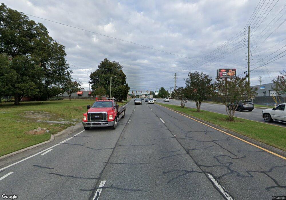
500 E Walnut Ave Dalton, GA 30721
Estimated Value: $5,922,075
Studio
--
Bath
2,650
Sq Ft
$2,235/Sq Ft
Est. Value
About This Home
This home is located at 500 E Walnut Ave, Dalton, GA 30721 and is currently estimated at $5,922,075, approximately $2,234 per square foot. 500 E Walnut Ave is a home located in Whitfield County with nearby schools including Blue Ridge Elementary School, Dalton High School, and Rock Hill School.
Ownership History
Date
Name
Owned For
Owner Type
Purchase Details
Closed on
Jan 2, 2020
Sold by
White Capital Grp Llc
Bought by
Jlwa Llc
Current Estimated Value
Purchase Details
Closed on
Jan 2, 2019
Sold by
White Capital Grp Llc
Bought by
Jlwa Llc
Purchase Details
Closed on
Jul 2, 2008
Sold by
Not Provided
Bought by
White Capital Group Llc
Purchase Details
Closed on
Mar 30, 2007
Sold by
Not Provided
Bought by
White Capital Group Llc
Purchase Details
Closed on
Jun 15, 2005
Sold by
Not Provided
Bought by
White Capital Group Llc
Create a Home Valuation Report for This Property
The Home Valuation Report is an in-depth analysis detailing your home's value as well as a comparison with similar homes in the area
Purchase History
| Date | Buyer | Sale Price | Title Company |
|---|---|---|---|
| Jlwa Llc | -- | -- | |
| Jlwa Llc | $3,350,000 | -- | |
| White Capital Group Llc | -- | -- | |
| White Capital Grp Llc | $2,325,000 | -- | |
| White Capital Group Llc | $1,426,000 | -- | |
| White Capital Group Llc | -- | -- |
Source: Public Records
Mortgage History
| Date | Status | Borrower | Loan Amount |
|---|---|---|---|
| Open | White Capital Group Llc | $18,000,000 |
Source: Public Records
Tax History
| Year | Tax Paid | Tax Assessment Tax Assessment Total Assessment is a certain percentage of the fair market value that is determined by local assessors to be the total taxable value of land and additions on the property. | Land | Improvement |
|---|---|---|---|---|
| 2025 | $66,025 | $2,063,929 | $506,880 | $1,557,049 |
| 2024 | $66,025 | $2,063,929 | $506,880 | $1,557,049 |
| 2023 | $42,062 | $1,221,216 | $396,000 | $825,216 |
| 2022 | $42,062 | $1,221,216 | $396,000 | $825,216 |
| 2021 | $42,125 | $1,221,216 | $396,000 | $825,216 |
| 2020 | $43,756 | $1,221,216 | $396,000 | $825,216 |
| 2019 | $36,223 | $980,528 | $396,000 | $584,528 |
| 2018 | $36,769 | $980,528 | $396,000 | $584,528 |
| 2017 | $31,936 | $884,800 | $184,800 | $700,000 |
| 2016 | $32,141 | $884,800 | $184,800 | $700,000 |
| 2014 | $29,202 | $884,800 | $184,800 | $700,000 |
| 2013 | -- | $884,800 | $184,800 | $700,000 |
Source: Public Records
Map
Nearby Homes
- 208 E Walnut Ave
- 902 Mattie Dr
- 432 4th Ave
- 711 E Morris St
- 1104 May St
- 920 Sunset Cir
- 230 Henderson St
- 1112 Riverbend Dr
- 519 Abigail St
- 303 Janice St
- 704 W Walnut Ave
- 406 S Thornton Ave Unit 105
- 703 W Walnut Ave
- 1118 Dozier St
- 204 N Bogle St
- 514 Sheridan Ave
- 1302 Jackson Rd
- 402 Fairview Dr
- 903 Hillcrest St
- 825 Martin Luther King jr Blvd
- 855 Abutment Rd
- 800 Abutment Rd
- 509 Benjamin Way
- 902 Abutment Rd
- 910 Abutment Rd Unit 48 PT 49
- 910 Abutment Rd Unit PT48/49
- 910 Abutment Rd
- 515 Benjamin Way
- 901 S Green St
- 708 S Glenwood Ave
- 910 John St
- 701 Hartwood St
- 300 E Franklin St
- 701 Rustwood St
- 1011 Abutment Rd
- 517 Benjamin Way
- 00 Hartwood St
- 708 Rustwood St
- 709 Glenwood Place
- 315 E Franklin St
