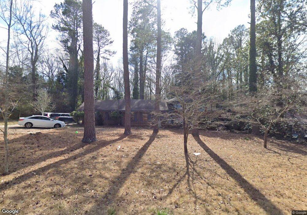
500 Forest Rd Athens, GA 30605
Green - Crestwood NeighborhoodEstimated Value: $374,000 - $424,730
4
Beds
3
Baths
2,550
Sq Ft
$154/Sq Ft
Est. Value
About This Home
This home is located at 500 Forest Rd, Athens, GA 30605 and is currently estimated at $393,933, approximately $154 per square foot. 500 Forest Rd is a home located in Clarke County with nearby schools including Barnett Shoals Elementary School, Hilsman Middle School, and Cedar Shoals High School.
Ownership History
Date
Name
Owned For
Owner Type
Purchase Details
Closed on
Sep 15, 2009
Sold by
Bulger Brian R
Bought by
Mcgreevy Laura A
Current Estimated Value
Home Financials for this Owner
Home Financials are based on the most recent Mortgage that was taken out on this home.
Original Mortgage
$160,765
Outstanding Balance
$104,284
Interest Rate
5.11%
Mortgage Type
FHA
Estimated Equity
$289,649
Purchase Details
Closed on
Jan 28, 2005
Sold by
Blount Ronald L
Bought by
Bulger Brian R and Bulger Tara W
Home Financials for this Owner
Home Financials are based on the most recent Mortgage that was taken out on this home.
Original Mortgage
$136,000
Interest Rate
5.72%
Mortgage Type
New Conventional
Purchase Details
Closed on
Jul 12, 1996
Sold by
Blount Ronald L and Blount Sandra D
Bought by
Blount Ronald L
Purchase Details
Closed on
Aug 20, 1993
Sold by
Sansing Norman G
Bought by
Blount Ronald L and Blount Sandra D
Create a Home Valuation Report for This Property
The Home Valuation Report is an in-depth analysis detailing your home's value as well as a comparison with similar homes in the area
Home Values in the Area
Average Home Value in this Area
Purchase History
| Date | Buyer | Sale Price | Title Company |
|---|---|---|---|
| Mcgreevy Laura A | $165,000 | -- | |
| Bulger Brian R | $170,000 | -- | |
| Blount Ronald L | -- | -- | |
| Blount Ronald L | $98,000 | -- |
Source: Public Records
Mortgage History
| Date | Status | Borrower | Loan Amount |
|---|---|---|---|
| Open | Mcgreevy Laura A | $160,765 | |
| Previous Owner | Bulger Brian R | $136,000 | |
| Previous Owner | Bulger Brian R | $17,000 |
Source: Public Records
Tax History
| Year | Tax Paid | Tax Assessment Tax Assessment Total Assessment is a certain percentage of the fair market value that is determined by local assessors to be the total taxable value of land and additions on the property. | Land | Improvement |
|---|---|---|---|---|
| 2025 | $3,423 | $127,288 | $14,000 | $113,288 |
| 2024 | $3,423 | $124,436 | $14,000 | $110,436 |
| 2023 | $3,389 | $116,169 | $14,000 | $102,169 |
| 2022 | $2,900 | $100,906 | $14,000 | $86,906 |
| 2021 | $2,556 | $85,860 | $13,000 | $72,860 |
| 2020 | $2,386 | $80,791 | $13,000 | $67,791 |
| 2019 | $2,234 | $75,794 | $12,000 | $63,794 |
| 2018 | $1,989 | $68,584 | $12,000 | $56,584 |
| 2017 | $1,790 | $62,734 | $12,000 | $50,734 |
| 2016 | $1,676 | $59,351 | $12,000 | $47,351 |
| 2015 | $1,667 | $59,020 | $12,000 | $47,020 |
| 2014 | $1,701 | $59,942 | $12,000 | $47,942 |
Source: Public Records
Map
Nearby Homes
- 189 Ashbrook Dr
- 331 Greencrest Dr
- 625 Forest Rd
- 140 Ashbrook Dr
- 352 Greencrest Dr
- 121 Ashbrook Dr
- 150 Rumson Rd
- 135 Mcduffie Dr
- 1305 Cedar Shoals Dr Unit 500
- 109 Layla Ct
- 1283 Cedar Shoals Dr
- 0 Barnett Shoals Rd Unit Lot 1
- 2535 Barnett Shoals Rd
- 256 Scandia Cir
- 399 Mcduffie Dr
- 120 Sterling Dr
- 108 Winthrop Ct
- 148 Warren Way
- 113 Saint Andrews Ct
- 169 Spring Lake Dr
Your Personal Tour Guide
Ask me questions while you tour the home.