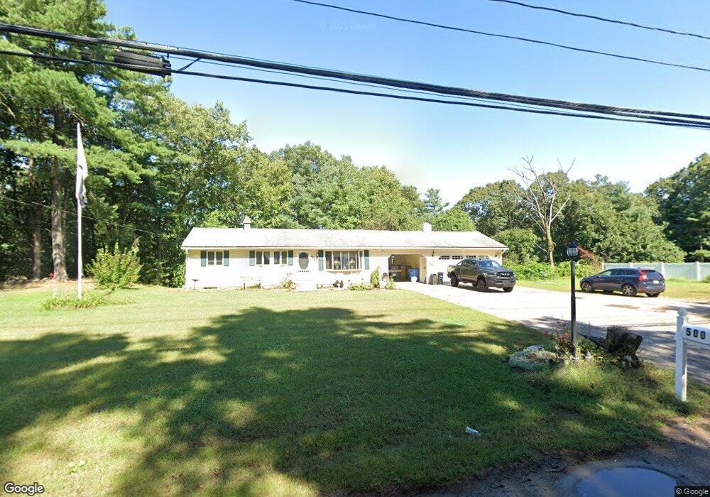
500 Franklin St Wrentham, MA 02093
Estimated Value: $436,000 - $642,116
4
Beds
1
Bath
1,050
Sq Ft
$486/Sq Ft
Est. Value
About This Home
This home is located at 500 Franklin St, Wrentham, MA 02093 and is currently estimated at $509,779, approximately $485 per square foot. 500 Franklin St is a home located in Norfolk County with nearby schools including Delaney Elementary School and Charles E Roderick.
Ownership History
Date
Name
Owned For
Owner Type
Purchase Details
Closed on
Jul 30, 2025
Sold by
Ready Christopher and Ready Chrystal
Bought by
Constitution Prop Llc
Current Estimated Value
Purchase Details
Closed on
Apr 1, 2022
Sold by
Jordan Kevin P and Anderson Chrystal L
Bought by
Anderson Chrystal L
Create a Home Valuation Report for This Property
The Home Valuation Report is an in-depth analysis detailing your home's value as well as a comparison with similar homes in the area
Home Values in the Area
Average Home Value in this Area
Purchase History
| Date | Buyer | Sale Price | Title Company |
|---|---|---|---|
| Constitution Prop Llc | $440,000 | -- | |
| Anderson Chrystal L | -- | None Available | |
| Anderson Chrystal L | -- | None Available |
Source: Public Records
Tax History Compared to Growth
Tax History
| Year | Tax Paid | Tax Assessment Tax Assessment Total Assessment is a certain percentage of the fair market value that is determined by local assessors to be the total taxable value of land and additions on the property. | Land | Improvement |
|---|---|---|---|---|
| 2025 | $6,233 | $537,800 | $289,600 | $248,200 |
| 2024 | $5,825 | $485,400 | $289,600 | $195,800 |
| 2023 | $5,451 | $431,900 | $253,900 | $178,000 |
| 2022 | $5,774 | $422,400 | $259,300 | $163,100 |
| 2021 | $5,431 | $386,000 | $231,100 | $154,900 |
| 2020 | $4,711 | $330,600 | $177,100 | $153,500 |
| 2019 | $4,513 | $319,600 | $168,800 | $150,800 |
| 2018 | $4,382 | $307,700 | $169,000 | $138,700 |
| 2017 | $4,154 | $291,500 | $165,800 | $125,700 |
| 2016 | $4,061 | $284,400 | $161,000 | $123,400 |
| 2015 | $3,889 | $259,600 | $154,800 | $104,800 |
| 2014 | $3,844 | $251,100 | $148,900 | $102,200 |
Source: Public Records
Map
Nearby Homes
- 570 Franklin St
- 131 Creek St Unit 7
- 50 Reed Fulton Ave Unit Lot 61
- 10 Nature View Dr
- 15 Nature View Dr
- 11 Earle Stewart Ln
- Lot 3 - 14 Earle Stewart Ln
- 45 Joshua Rd
- Lot 1 - Blueberry 2 Car Plan at King Philip Estates
- Lot 8 - Blueberry 2 Car Plan at King Philip Estates
- Lot 5 - Hughes 2 car Plan at King Philip Estates
- Lot 6 - Blueberry 3 Car Plan at King Philip Estates
- Lot 2 - Camden 2 Car Plan at King Philip Estates
- Lot 7 - Cedar Plan at King Philip Estates
- Lot 4 - Hemingway 2 Car Plan at King Philip Estates
- Lot 3 - Blueberry 2 Car Plan at King Philip Estates
- 246 Forest Grove Ave
- 270 Dedham St
- 1 Lorraine Metcalf Dr
- 319 Taunton St