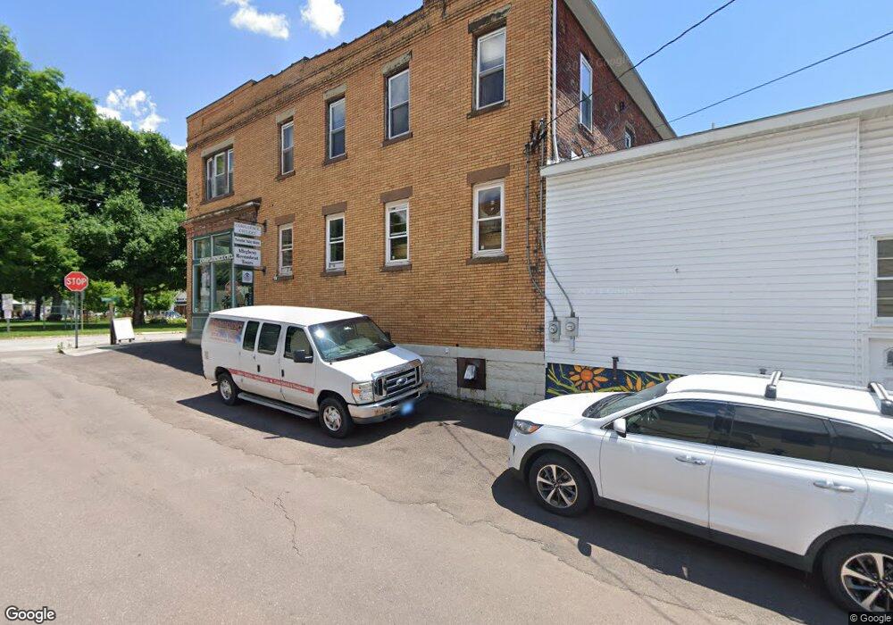
500 Hugart St Confluence, PA 15424
Estimated Value: $270,548
Studio
--
Bath
14,160
Sq Ft
$19/Sq Ft
Est. Value
About This Home
This home is located at 500 Hugart St, Confluence, PA 15424 and is currently estimated at $270,548, approximately $19 per square foot. 500 Hugart St is a home located in Somerset County with nearby schools including Turkeyfoot Valley Area Elementary School and Turkeyfoot Valley Area Junior/Senior High School.
Ownership History
Date
Name
Owned For
Owner Type
Purchase Details
Closed on
Mar 14, 2024
Sold by
Bp And Mr Smith Llc
Bought by
Hughart Street Llc
Current Estimated Value
Purchase Details
Closed on
Nov 27, 2006
Sold by
Conn Nancy M
Bought by
Bp And Mr Smith Llc
Home Financials for this Owner
Home Financials are based on the most recent Mortgage that was taken out on this home.
Original Mortgage
$108,000
Interest Rate
6.4%
Mortgage Type
Commercial
Create a Home Valuation Report for This Property
The Home Valuation Report is an in-depth analysis detailing your home's value as well as a comparison with similar homes in the area
Purchase History
| Date | Buyer | Sale Price | Title Company |
|---|---|---|---|
| Hughart Street Llc | $250,000 | None Listed On Document | |
| Bp And Mr Smith Llc | $135,000 | None Available |
Source: Public Records
Mortgage History
| Date | Status | Borrower | Loan Amount |
|---|---|---|---|
| Previous Owner | Bp And Mr Smith Llc | $108,000 |
Source: Public Records
Tax History
| Year | Tax Paid | Tax Assessment Tax Assessment Total Assessment is a certain percentage of the fair market value that is determined by local assessors to be the total taxable value of land and additions on the property. | Land | Improvement |
|---|---|---|---|---|
| 2025 | $2,434 | $47,370 | $0 | $0 |
| 2024 | $2,434 | $47,370 | $0 | $0 |
| 2023 | $2,351 | $47,370 | $0 | $0 |
| 2022 | $2,296 | $47,370 | $0 | $0 |
| 2021 | $2,248 | $47,370 | $0 | $0 |
| 2020 | $2,248 | $47,370 | $0 | $0 |
| 2019 | $2,248 | $47,370 | $0 | $0 |
| 2018 | $2,227 | $47,370 | $820 | $46,550 |
| 2017 | $2,133 | $47,370 | $820 | $46,550 |
| 2016 | -- | $47,370 | $820 | $46,550 |
| 2015 | -- | $47,360 | $815 | $46,545 |
| 2014 | -- | $47,360 | $815 | $46,545 |
Source: Public Records
Map
Nearby Homes
- 626 Sterner St
- 305 Abram St
- 631 Meyers St
- 629 River Rd
- 833 Oden St
- 000
- 0 Klondike Rd Unit 22177073
- 0 Klondike Rd Unit 22177082
- 0 Klondike Rd Unit 22177074
- Lot 6 Klondike Rd
- Lot 2 Klondike Rd
- Lot 1 Klondike Rd
- 159 Cedar Rd
- #5 & 7 Laurel Rd
- 447 Lake Side Rd
- 100 Jersey Hollow Rd
- 230 Locust Rd
- 734 Main St
- 147 Fike Ln
- 171 Mae West Rd
- 115 Ross St
- 115 Ross St Unit 3
- 115 Ross St Unit 2
- 115 Ross St Unit 1
- 472 Latrobe Ave
- 472 Latrobe Ave
- 0 Hugart St
- 520 Hugart St
- 604 Logan Place
- 522 Hugart St
- 606 Logan Place
- 475 Latrobe Ave
- 521 Hugart St
- 528 Hugart St
- 534 Hugart St
- 0 Logan Place
- 536 Hugart St
- 538 Hugart St
- 446 Latrobe Ave
- 518 Oden St
Your Personal Tour Guide
Ask me questions while you tour the home.