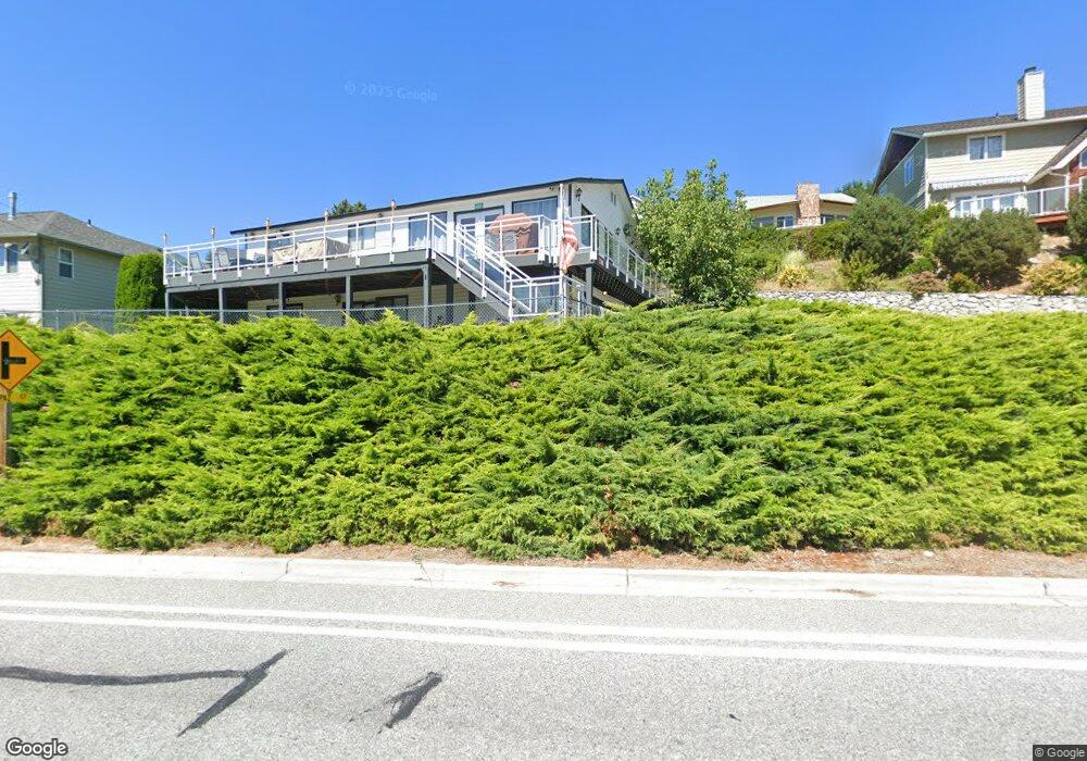
500 Manson Blvd Manson, WA 98831
Estimated Value: $983,000 - $1,052,000
2
Beds
2
Baths
1,440
Sq Ft
$699/Sq Ft
Est. Value
About This Home
This home is located at 500 Manson Blvd, Manson, WA 98831 and is currently estimated at $1,006,471, approximately $698 per square foot. 500 Manson Blvd is a home located in Chelan County with nearby schools including Manson Elementary School and Manson High School.
Ownership History
Date
Name
Owned For
Owner Type
Purchase Details
Closed on
Oct 17, 2021
Sold by
Maas Brian D and Maas Vy T
Bought by
Sogn Brian H and Sogn Heidi A
Current Estimated Value
Purchase Details
Closed on
Sep 13, 2005
Sold by
Estate Of Robert J Turpin
Bought by
Sogn Brian H and Sogn Heidi A
Home Financials for this Owner
Home Financials are based on the most recent Mortgage that was taken out on this home.
Original Mortgage
$338,000
Interest Rate
5.81%
Mortgage Type
New Conventional
Create a Home Valuation Report for This Property
The Home Valuation Report is an in-depth analysis detailing your home's value as well as a comparison with similar homes in the area
Home Values in the Area
Average Home Value in this Area
Purchase History
| Date | Buyer | Sale Price | Title Company |
|---|---|---|---|
| Sogn Brian H | $423,376 | None Available | |
| Sogn Brian H | $440,000 | Transnation Title Insurance |
Source: Public Records
Mortgage History
| Date | Status | Borrower | Loan Amount |
|---|---|---|---|
| Previous Owner | Sogn Brian H | $338,000 |
Source: Public Records
Tax History Compared to Growth
Tax History
| Year | Tax Paid | Tax Assessment Tax Assessment Total Assessment is a certain percentage of the fair market value that is determined by local assessors to be the total taxable value of land and additions on the property. | Land | Improvement |
|---|---|---|---|---|
| 2021 | $5,477 | $633,386 | $187,920 | $445,466 |
| 2020 | $4,992 | $544,590 | $158,340 | $386,250 |
| 2019 | $4,813 | $519,935 | $158,340 | $361,595 |
| 2018 | $4,366 | $496,289 | $147,900 | $348,389 |
| 2017 | $3,784 | $429,083 | $127,020 | $302,063 |
| 2016 | $3,493 | $403,048 | $107,880 | $295,168 |
| 2015 | $3,493 | $378,966 | $120,060 | $258,906 |
| 2013 | $3,493 | $295,217 | $100,000 | $195,217 |
Source: Public Records
Map
Nearby Homes
- 665 Manson Blvd
- 755 Wapato Way
- 15 Indigo Ln
- 0 Manson Blvd Unit NWM2357896
- 33 Indigo Ln
- 55 Indigo Ln
- 575 Wapato Way
- 40 McLallen Ln
- 135 Furey Ave
- 327 Lakeshore Dr
- 258 Lakeshore Dr
- 0 Lakeshore Dr Unit NWM2361430
- 410 Totem Pole Rd
- 0 Olive Ave
- 475 Totem Pole Rd
- 90 Furey Ave
- 168 Green Ave
- 175 Green Ave
- 203 Parkway Dr
- 2524 Lakeshore Dr
- 502 Manson Blvd
- 491 Manson Blvd
- 501 Manson Blvd
- 559 Manson Blvd
- 561 Topaz Place
- 563 Topaz Place
- 423 Manson Blvd
- 695 Wapato Way
- 450 Manson Blvd
- 655 E Wapato Way
- 697 Wapato Way
- 421 Manson Blvd
- 565 Topaz Place
- 417 Manson Blvd
- 653 E Wapato Way
- 557 Manson Blvd
- 410 Manson Blvd
- 701 Wapato Way
- 411 Manson Blvd
- 560 Topaz Place