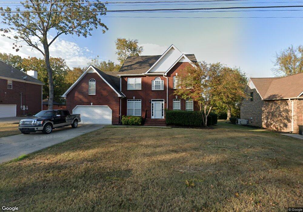
500 Shadowood Dr Smyrna, TN 37167
Estimated Value: $454,633 - $536,000
--
Bed
3
Baths
2,614
Sq Ft
$193/Sq Ft
Est. Value
About This Home
This home is located at 500 Shadowood Dr, Smyrna, TN 37167 and is currently estimated at $504,658, approximately $193 per square foot. 500 Shadowood Dr is a home located in Rutherford County with nearby schools including Rocky Fork Elementary School, Rocky Fork Middle School, and Smyrna High School.
Ownership History
Date
Name
Owned For
Owner Type
Purchase Details
Closed on
Jul 30, 2004
Sold by
Reed Adair Kenneth
Bought by
Maxey Adair Shirley
Current Estimated Value
Purchase Details
Closed on
Jun 26, 1995
Bought by
Reed Adair Kenneth
Purchase Details
Closed on
Feb 27, 1995
Bought by
Morris Turner
Purchase Details
Closed on
Nov 7, 1994
Sold by
Radnor Development Corp
Bought by
Radnor Homes Inc
Create a Home Valuation Report for This Property
The Home Valuation Report is an in-depth analysis detailing your home's value as well as a comparison with similar homes in the area
Home Values in the Area
Average Home Value in this Area
Purchase History
| Date | Buyer | Sale Price | Title Company |
|---|---|---|---|
| Maxey Adair Shirley | -- | -- | |
| Reed Adair Kenneth | $134,000 | -- | |
| Morris Turner | $19,500 | -- | |
| Radnor Homes Inc | -- | -- |
Source: Public Records
Tax History Compared to Growth
Tax History
| Year | Tax Paid | Tax Assessment Tax Assessment Total Assessment is a certain percentage of the fair market value that is determined by local assessors to be the total taxable value of land and additions on the property. | Land | Improvement |
|---|---|---|---|---|
| 2025 | $2,455 | $102,225 | $13,750 | $88,475 |
| 2024 | $2,455 | $102,225 | $13,750 | $88,475 |
| 2023 | $2,455 | $102,225 | $13,750 | $88,475 |
| 2022 | $2,189 | $102,225 | $13,750 | $88,475 |
| 2021 | $2,066 | $70,725 | $12,500 | $58,225 |
| 2020 | $2,066 | $70,725 | $12,500 | $58,225 |
| 2019 | $2,066 | $70,725 | $12,500 | $58,225 |
| 2018 | $1,981 | $70,725 | $0 | $0 |
| 2017 | $1,908 | $53,550 | $0 | $0 |
| 2016 | $1,908 | $53,550 | $0 | $0 |
| 2015 | $1,908 | $53,550 | $0 | $0 |
| 2014 | $1,332 | $53,550 | $0 | $0 |
| 2013 | -- | $55,650 | $0 | $0 |
Source: Public Records
Map
Nearby Homes
- 407 Shadowood Dr
- 508 Spinnaker Ct
- 115 Saint Michaels Ln
- 505 Spinnaker Ct
- 107 Irish Place
- 421 Saint Francis Ave
- 806 Enon Springs Rd W
- 1102 Forestwood Ct
- 508 Williamsport Dr
- 502 Saint Francis Ave
- 143 Stokes Dr
- 499 Williamsport Dr
- 520 Mcgrath Dr
- 400 Megan Dr
- 304 Short Ct
- 650 Spring Hill Dr
- 101 Annleeken Dr
- 715 Saint Francis Ave
- 1307 Talia Trace Plan at Talia Trace
- 1781-3 Talia Trace Town Home Plan at Talia Trace
- 420 Shadowood Dr
- 502 Shadowood Dr
- 206 Saint Lukes Ln
- 418 Shadowood Dr
- 204 Saint Lukes Ln
- 213 Cedar Forest Dr
- 504 Shadowood Dr
- 503 Shadowood Dr
- 208 Saint Lukes Ln
- 212 Cedar Forest Dr
- 202 Saint Lukes Ln
- 416 Shadowood Dr
- 388 Saint Francis Ave
- 506 Shadowood Dr
- 211 Cedar Forest Dr
- 211 Saint Lukes Ln
- 210 Cedar Forest Dr
- 210 St Lukes Ln
- 210 Saint Lukes Ln
- 386 Saint Francis Ave