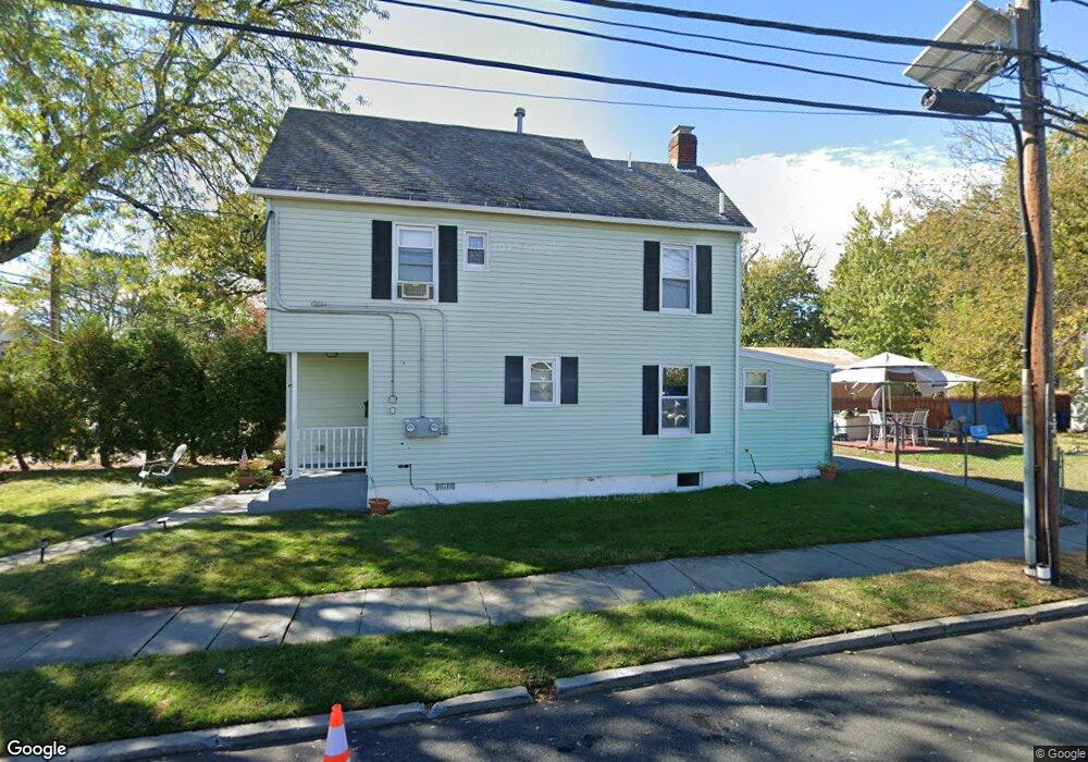
500 W Broad St Westfield, NJ 07090
Estimated Value: $513,973 - $733,000
--
Bed
--
Bath
1,350
Sq Ft
$458/Sq Ft
Est. Value
About This Home
This home is located at 500 W Broad St, Westfield, NJ 07090 and is currently estimated at $617,993, approximately $457 per square foot. 500 W Broad St is a home located in Union County with nearby schools including McKinley Elementary School, Westfield Senior High School, and Holy Trinity School.
Ownership History
Date
Name
Owned For
Owner Type
Purchase Details
Closed on
Feb 2, 1998
Sold by
Baytops Emma Isabelle and Bullock Robert Earl
Bought by
Clark Nina and Creese Barbara
Current Estimated Value
Home Financials for this Owner
Home Financials are based on the most recent Mortgage that was taken out on this home.
Original Mortgage
$75,000
Interest Rate
6.95%
Create a Home Valuation Report for This Property
The Home Valuation Report is an in-depth analysis detailing your home's value as well as a comparison with similar homes in the area
Home Values in the Area
Average Home Value in this Area
Purchase History
| Date | Buyer | Sale Price | Title Company |
|---|---|---|---|
| Clark Nina | -- | Stewart Title Guaranty Compa |
Source: Public Records
Mortgage History
| Date | Status | Borrower | Loan Amount |
|---|---|---|---|
| Closed | Clark Nina | $75,000 |
Source: Public Records
Tax History Compared to Growth
Tax History
| Year | Tax Paid | Tax Assessment Tax Assessment Total Assessment is a certain percentage of the fair market value that is determined by local assessors to be the total taxable value of land and additions on the property. | Land | Improvement |
|---|---|---|---|---|
| 2025 | $7,871 | $349,500 | $223,200 | $126,300 |
| 2024 | $7,710 | $349,500 | $223,200 | $126,300 |
| 2023 | $7,710 | $349,500 | $223,200 | $126,300 |
| 2022 | $7,549 | $349,500 | $223,200 | $126,300 |
| 2021 | $7,560 | $349,500 | $223,200 | $126,300 |
| 2020 | $7,542 | $349,500 | $223,200 | $126,300 |
| 2019 | $7,514 | $349,500 | $223,200 | $126,300 |
| 2018 | $5,299 | $57,000 | $14,700 | $42,300 |
| 2017 | $5,270 | $57,000 | $14,700 | $42,300 |
| 2016 | $5,147 | $57,000 | $14,700 | $42,300 |
| 2015 | $5,044 | $57,000 | $14,700 | $42,300 |
| 2014 | $4,877 | $57,000 | $14,700 | $42,300 |
Source: Public Records
Map
Nearby Homes
- 524 Edgar Rd
- 724 South Ave W Unit 724A
- 525 Edgar Rd
- 554 Hort St
- 614 Dorian Rd
- 538 Westfield Ave
- 350 W Dudley Ave
- 303 Prospect St
- 260 Prospect St Unit C15
- 119 Lamberts Mill Rd
- 522 Boulevard
- 517 Clark St
- 2154 W Broad St
- 215 Ross Place Unit J
- 203 Ross Place
- 1466 Lamberts Mill Rd
- 603 Carleton Rd
- 2314 Longfellow Ave
- 143 Stanmore Place
- 304 E Dudley Ave
- 504 W Broad St
- 115 Osborne Ave
- 506 W Broad St
- 104 Osborn Ave
- 466 W Broad St Unit 2
- 466 W Broad St Unit 1
- 508 W Broad St
- 102 Osborne
- 509 Downer St
- 510 W Broad St
- 110 Osborne Ave
- 503 Downer St
- 505 Downer St
- 447 Downer St
- 511 Downer St
- 445 Downer St
- 443 Downer St
- 516 W Broad St
- 458 W Broad St
- 458 W Broad St Unit 3