5000 Sherman Dr NE Bemidji, MN 56601
Estimated Value: $330,000 - $445,000
--
Bed
--
Bath
1,400
Sq Ft
$282/Sq Ft
Est. Value
About This Home
This home is located at 5000 Sherman Dr NE, Bemidji, MN 56601 and is currently estimated at $395,160, approximately $282 per square foot. 5000 Sherman Dr NE is a home with nearby schools including Lincoln Elementary School, Bemidji Middle School, and Bemidji Senior High School.
Ownership History
Date
Name
Owned For
Owner Type
Purchase Details
Closed on
Dec 26, 2012
Sold by
Potrament Theodore F and Potrement Analee E
Bought by
Furfaro Michael J and Furfaro Dee A
Current Estimated Value
Purchase Details
Closed on
Jan 9, 2006
Sold by
Potrament Analee E and Potrament Theodore
Bought by
Potrament Analee E and Potrament Theodore
Purchase Details
Closed on
Nov 7, 2005
Sold by
Herbert Cassandra Eve and Potrament Analee E
Bought by
Herbert Cassandra Eve and Potrament Analee E
Create a Home Valuation Report for This Property
The Home Valuation Report is an in-depth analysis detailing your home's value as well as a comparison with similar homes in the area
Home Values in the Area
Average Home Value in this Area
Purchase History
| Date | Buyer | Sale Price | Title Company |
|---|---|---|---|
| Furfaro Michael J | $50,000 | None Available | |
| Potrament Analee E | -- | None Available | |
| Herbert Cassandra Eve | -- | None Available |
Source: Public Records
Tax History Compared to Growth
Tax History
| Year | Tax Paid | Tax Assessment Tax Assessment Total Assessment is a certain percentage of the fair market value that is determined by local assessors to be the total taxable value of land and additions on the property. | Land | Improvement |
|---|---|---|---|---|
| 2024 | $4,526 | $351,200 | $58,800 | $292,400 |
| 2023 | $4,526 | $351,200 | $58,800 | $292,400 |
| 2022 | $3,748 | $320,800 | $58,800 | $262,000 |
| 2021 | $3,748 | $245,300 | $46,100 | $199,200 |
| 2019 | $802 | $245,300 | $46,100 | $199,200 |
| 2018 | $974 | $42,000 | $42,000 | $0 |
| 2016 | $904 | $38,300 | $38,300 | $0 |
| 2015 | $670 | $38,300 | $0 | $0 |
| 2014 | $640 | $38,300 | $0 | $0 |
| 2011 | $644 | $38,300 | $0 | $0 |
Source: Public Records
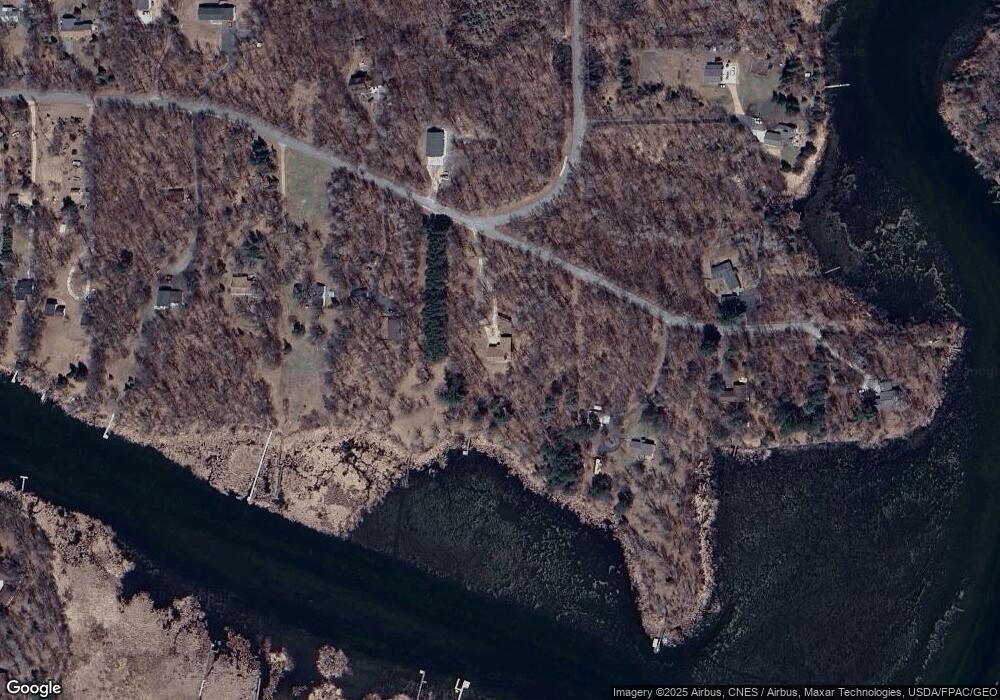
Map
Nearby Homes
- L1B3 Sherman Dr NE
- 3545 White Birch Ave NE
- TBD Power Dam Rd NE
- 4410 Big Bass Rd NE
- 4227 Waville Rd NE
- TBD Lake Ave NE
- 4523 Waville Rd NE
- 2120 Grotte Ave NE
- 7047 Kingfisher Ln NE
- 1201 Tyler Ave NE
- 1201 Tyler Ave NE
- 1201 Tyler Ave NE
- 1201 Tyler Ave NE
- 1201 Tyler Ave NE
- 1201 Tyler Ave NE
- 1201 Tyler Ave NE
- 1201 Tyler Ave NE
- 1201 Tyler Ave NE
- 1201 Tyler Ave NE
- 1201 Tyler Ave NE
- 4950 Sherman Dr NE
- 4950 Sherman Dr NE
- 5130 Sherman Dr NE
- 4900 Sherman Dr NE
- 5150 Sherman Dr NE
- 4840 Sherman Dr NE
- 4925 Sherman Dr NE
- 4790 Sherman Dr NE
- 5252 Sherman Dr NE
- 5200 Sherman Dr NE
- 4959 Sherman Dr NE
- 3400 Piper Dr NE
- 4985 Brinkman Dr NE
- 4985 Brinkman Dr NE
- 4945 Brinkman Dr NE
- 4740 Sherman Dr NE
- TBD Brinkman Dr NE
- 4875 Brinkman Dr NE
- 5029 Brinkman Dr NE
- 4680 Sherman Dr NE