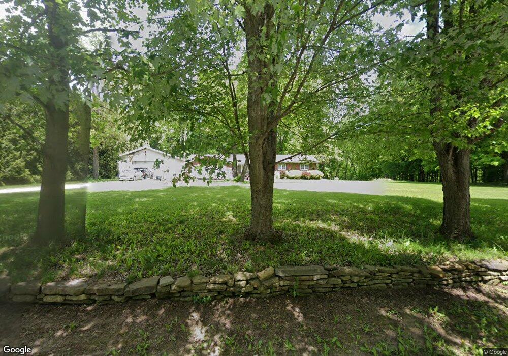
5001 New Hudson Rd Orwell, OH 44076
Estimated Value: $263,788 - $400,000
3
Beds
1
Bath
1,670
Sq Ft
$181/Sq Ft
Est. Value
About This Home
This home is located at 5001 New Hudson Rd, Orwell, OH 44076 and is currently estimated at $302,197, approximately $180 per square foot. 5001 New Hudson Rd is a home located in Ashtabula County with nearby schools including Grand Valley Elementary School, Grand Valley Middle School, and Grand Valley High School.
Ownership History
Date
Name
Owned For
Owner Type
Purchase Details
Closed on
Jan 7, 2016
Sold by
Baird David A and Baird Bonnie J
Bought by
Putt Terrence W
Current Estimated Value
Home Financials for this Owner
Home Financials are based on the most recent Mortgage that was taken out on this home.
Original Mortgage
$147,100
Outstanding Balance
$116,142
Interest Rate
3.74%
Mortgage Type
Adjustable Rate Mortgage/ARM
Estimated Equity
$186,055
Create a Home Valuation Report for This Property
The Home Valuation Report is an in-depth analysis detailing your home's value as well as a comparison with similar homes in the area
Home Values in the Area
Average Home Value in this Area
Purchase History
| Date | Buyer | Sale Price | Title Company |
|---|---|---|---|
| Putt Terrence W | $154,900 | Valley Title | |
| Putt Terrence W | $154,900 | Valley Title |
Source: Public Records
Mortgage History
| Date | Status | Borrower | Loan Amount |
|---|---|---|---|
| Open | Putt Terrence W | $147,100 | |
| Closed | Putt Terrence W | $147,100 |
Source: Public Records
Tax History Compared to Growth
Tax History
| Year | Tax Paid | Tax Assessment Tax Assessment Total Assessment is a certain percentage of the fair market value that is determined by local assessors to be the total taxable value of land and additions on the property. | Land | Improvement |
|---|---|---|---|---|
| 2024 | $5,776 | $73,750 | $6,720 | $67,030 |
| 2023 | $3,062 | $73,750 | $6,720 | $67,030 |
| 2022 | $2,560 | $53,060 | $5,180 | $47,880 |
| 2021 | $2,586 | $53,060 | $5,180 | $47,880 |
| 2020 | $2,485 | $53,060 | $5,180 | $47,880 |
| 2019 | $2,277 | $46,900 | $6,160 | $40,740 |
| 2018 | $2,150 | $46,900 | $6,160 | $40,740 |
| 2017 | $2,051 | $46,900 | $6,160 | $40,740 |
| 2016 | $1,991 | $40,120 | $5,290 | $34,830 |
| 2015 | $1,952 | $40,120 | $5,290 | $34,830 |
| 2014 | $1,898 | $40,120 | $5,290 | $34,830 |
| 2013 | $2,141 | $43,550 | $3,820 | $39,730 |
Source: Public Records
Map
Nearby Homes
- 0 New Hudson Rd
- 5723 Stoneville Rd
- 5834 U S 322
- 6563 Hyde Rd
- V/L Windsor-Mechanicsville Rd
- 5769 Hurlburt Rd
- 5700 State Route 534
- 26 Grand Valley
- 0 Vl Sunset St
- V/L Eddy Ct
- 75 Leffingwell Dr
- 63 Janet Ave
- 5484 State Route 534
- 2605 Us Route 322
- 2750 Moore Rd
- 0 Laskey Rd Unit 5117810
- 5252 State Route 45
- 12175 Hunt Rd
- 4976 Ireland Rd
- 9575 State Route 45
- 5027 New Hudson Rd
- 5000 New Hudson Rd
- 4973 New Hudson Rd
- 5032 New Hudson Rd
- 5088 New Hudson Rd
- 4939 New Hudson Rd
- 4970 New Hudson Rd
- 7280 New Hudson Rd
- 7280 Noble Rd
- 7242 Noble Rd
- 4918 New Hudson Rd
- 7322 Noble Rd
- 4942 New Hudson Rd
- 4910 New Hudson Rd
- 0 New Hudson Rd
- 7261 Noble Rd
- 7327 Noble Rd
- 7364 Noble Rd
- 4883 New Hudson Rd
- 4900 New Hudson Rd