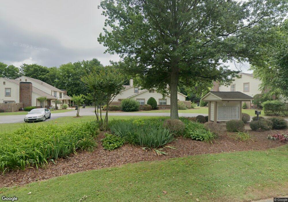
5005 Camelot Dr Unit D Columbia, TN 38401
Estimated Value: $317,500
--
Bed
2
Baths
1,556
Sq Ft
$204/Sq Ft
Est. Value
About This Home
This home is located at 5005 Camelot Dr Unit D, Columbia, TN 38401 and is currently priced at $317,500, approximately $204 per square foot. 5005 Camelot Dr Unit D is a home located in Maury County with nearby schools including J.E. Woodard Elementary School, Whitthorne Middle School, and Columbia Central High School.
Ownership History
Date
Name
Owned For
Owner Type
Purchase Details
Closed on
May 11, 2006
Sold by
Webb James D and Webb Sue R
Bought by
Patterson Delffs Dudley R and Patterson Latimer Belinda
Current Estimated Value
Home Financials for this Owner
Home Financials are based on the most recent Mortgage that was taken out on this home.
Original Mortgage
$101,520
Outstanding Balance
$58,560
Interest Rate
6.33%
Mortgage Type
Fannie Mae Freddie Mac
Purchase Details
Closed on
Jan 25, 1991
Bought by
Roach Estelle W
Purchase Details
Closed on
Jan 18, 1991
Bought by
Webb James D and Webb Sue R
Purchase Details
Closed on
Jul 19, 1990
Bought by
Webb James D and Webb Sue R
Purchase Details
Closed on
Mar 26, 1987
Bought by
Canterbury Gardens Limited Partnership
Create a Home Valuation Report for This Property
The Home Valuation Report is an in-depth analysis detailing your home's value as well as a comparison with similar homes in the area
Home Values in the Area
Average Home Value in this Area
Purchase History
| Date | Buyer | Sale Price | Title Company |
|---|---|---|---|
| Patterson Delffs Dudley R | $126,900 | Hardison Land Title Co Inc | |
| Roach Estelle W | -- | -- | |
| Webb James D | -- | -- | |
| Webb James D | $69,900 | -- | |
| Canterbury Gardens Limited Partnership | -- | -- |
Source: Public Records
Mortgage History
| Date | Status | Borrower | Loan Amount |
|---|---|---|---|
| Open | Patterson Delffs Dudley R | $101,520 | |
| Closed | Patterson Delffs Dudley R | $19,035 |
Source: Public Records
Tax History Compared to Growth
Tax History
| Year | Tax Paid | Tax Assessment Tax Assessment Total Assessment is a certain percentage of the fair market value that is determined by local assessors to be the total taxable value of land and additions on the property. | Land | Improvement |
|---|---|---|---|---|
| 2020 | $1,285 | $37,850 | $6,625 | $31,225 |
| 2019 | $878 | $37,850 | $6,625 | $31,225 |
| 2018 | $846 | $37,850 | $6,625 | $31,225 |
| 2017 | $1,206 | $28,350 | $6,625 | $21,725 |
| 2016 | $1,206 | $28,350 | $6,625 | $21,725 |
| 2015 | $1,151 | $28,350 | $6,625 | $21,725 |
| 2014 | $1,151 | $28,350 | $6,625 | $21,725 |
Source: Public Records
Map
Nearby Homes
- 5005 Camelot Dr Unit C
- 602 Edenburg Dr
- 5142 Pace Park Cir
- 5109 Pace Park Cir
- 605 Edenburg Dr
- Pearl GY Plan at Trotwood Villas
- 5030 Camelot Dr
- 1304 Jewell Dr
- 518 Hemingway Dr
- 110 Bell Grove Dr
- 114 Deerview Dr
- 112 Deerfield Dr
- 4002 Trotwood Ave
- 4007 Hays Dr
- 5107 Pace Park Cir
- 6159 Worthingtion
- 6509 Ripple Ridge Ct
- 6152 Worthingtion
- 4002 Hays Dr
- 6161 Worthington Rd
- 5005 Camelot Dr Unit A
- 5005 Camelot Dr Unit B
- 5005 Camelot Dr
- 5003 Camelot Dr Unit C
- 5003 Camelot Dr Unit A
- 5003 Camelot Dr Unit D
- 5003 Camelot Dr Unit B
- 5003 Camelot Dr Unit 5003B
- 5003 Camelot Dr Unit 5003A
- 5003 Camelot Dr
- 5007 Camelot Dr Unit D
- 5007 Camelot Dr Unit C
- 5007 Camelot Dr Unit B
- 5007 Camelot Dr Unit A
- 5009 Camelot Dr
- 5009 Camelot Dr Unit D
- 5009 Camelot Dr Unit A
- 5009 Camelot Dr Unit C
- 5009 Camelot Dr Unit B
- 108 Sunnyside Ln