5005 Rosalind Ln Powell, OH 43065
Estimated Value: $928,000 - $1,923,000
4
Beds
6
Baths
6,560
Sq Ft
$209/Sq Ft
Est. Value
About This Home
This home is located at 5005 Rosalind Ln, Powell, OH 43065 and is currently estimated at $1,369,122, approximately $208 per square foot. 5005 Rosalind Ln is a home located in Delaware County with nearby schools including Indian Springs Elementary School, Hyatts Middle School, and Olentangy Liberty High School.
Ownership History
Date
Name
Owned For
Owner Type
Purchase Details
Closed on
May 15, 2015
Sold by
Paull William G and Paull Barbara A
Bought by
Fox Nicole L
Current Estimated Value
Home Financials for this Owner
Home Financials are based on the most recent Mortgage that was taken out on this home.
Original Mortgage
$417,000
Outstanding Balance
$144,609
Interest Rate
2.9%
Mortgage Type
New Conventional
Estimated Equity
$1,224,513
Purchase Details
Closed on
May 26, 2004
Sold by
Roberts Jodelle Marguerite
Bought by
Roberts Ii Don Tuller
Create a Home Valuation Report for This Property
The Home Valuation Report is an in-depth analysis detailing your home's value as well as a comparison with similar homes in the area
Home Values in the Area
Average Home Value in this Area
Purchase History
| Date | Buyer | Sale Price | Title Company |
|---|---|---|---|
| Fox Nicole L | $311,667 | Attorney | |
| Roberts Ii Don Tuller | -- | -- |
Source: Public Records
Mortgage History
| Date | Status | Borrower | Loan Amount |
|---|---|---|---|
| Open | Fox Nicole L | $417,000 |
Source: Public Records
Tax History
| Year | Tax Paid | Tax Assessment Tax Assessment Total Assessment is a certain percentage of the fair market value that is determined by local assessors to be the total taxable value of land and additions on the property. | Land | Improvement |
|---|---|---|---|---|
| 2024 | $23,040 | $439,460 | $85,540 | $353,920 |
| 2023 | $23,130 | $439,460 | $85,540 | $353,920 |
| 2022 | $23,855 | $359,350 | $56,350 | $303,000 |
| 2021 | $24,002 | $359,350 | $56,350 | $303,000 |
| 2020 | $24,117 | $359,350 | $56,350 | $303,000 |
| 2019 | $21,362 | $331,800 | $56,350 | $275,450 |
| 2018 | $21,461 | $331,800 | $56,350 | $275,450 |
| 2017 | $20,647 | $330,860 | $52,710 | $278,150 |
| 2016 | $22,780 | $330,860 | $52,710 | $278,150 |
| 2015 | $20,058 | $330,860 | $52,710 | $278,150 |
| 2014 | -- | $330,860 | $52,710 | $278,150 |
| 2013 | $20,114 | $320,150 | $52,710 | $267,440 |
Source: Public Records
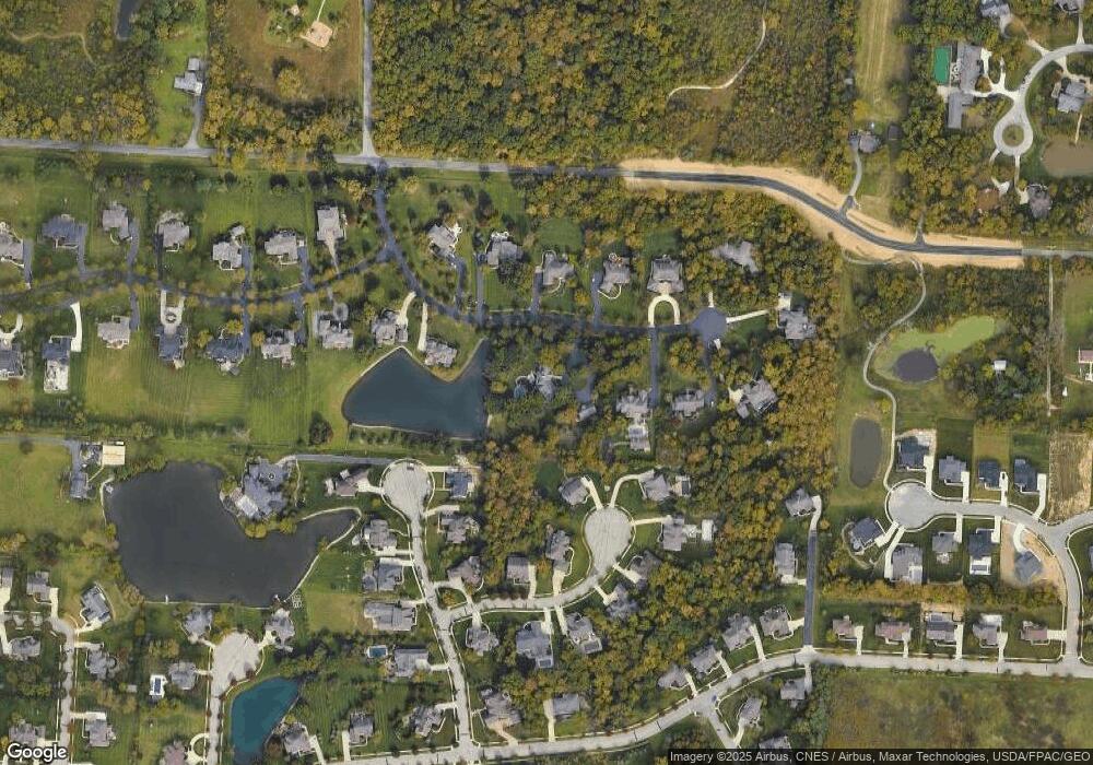
Map
Nearby Homes
- 9338 Deer Path Ct
- 5208 Rosalind Blvd
- 9196 McDowall Dr
- 5431 Rosalind Blvd
- 4860 Bayhill Dr
- 9375 Creighton Dr
- 4530 Cascade Dr
- 9590 Shawnee Trail
- 9501 Shawnee Trail
- 9430 Wilbrook Dr
- 0 S Park Place E
- 0 Dublin Rd Unit 225011118
- 4532 Coyote Crossing
- 3881 Orchard Way
- 3991 Orchard View Place
- 3839 Orchard Way
- 4445 Tavistock Cir
- 9529 Wayne Brown Dr
- 8778 Linksway Dr
- 0 N Park Place W Unit 225035823
- 5885 Rosalind Ln
- 0 Rosalind Ln
- 4961 Rosalind Ln
- 5055 Rosalind Ln
- 5006 Rosalind Ln
- 4988 Ravines Edge Ct
- 9239 Deer Path Ct
- 4978 Rosalind Ln
- 5034 Rosalind Ln
- 4935 Rosalind Ln
- 4987 Ravines Edge Ct
- 5085 Rosalind Ln
- 9255 Deer Path Ct
- 9236 Deer Path Ct
- 5038 Ravines Edge Ct
- 4948 Rosalind Ln
- 5100 Rosalind Ln
- 5060 Ravines Edge Ct
- 4919 Rosalind Blvd
- 9279 Deer Path Ct
Your Personal Tour Guide
Ask me questions while you tour the home.