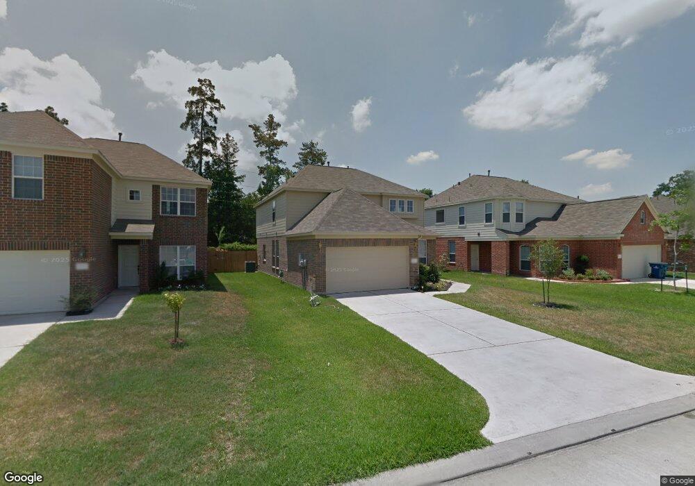
5006 Forest Hurst Dr Spring, TX 77373
Estimated Value: $269,950 - $284,000
4
Beds
3
Baths
2,375
Sq Ft
$116/Sq Ft
Est. Value
About This Home
This home is located at 5006 Forest Hurst Dr, Spring, TX 77373 and is currently estimated at $275,488, approximately $115 per square foot. 5006 Forest Hurst Dr is a home located in Harris County with nearby schools including Chet Burchett Elementary School, Ricky C. Bailey Middle School, and Spring High School.
Ownership History
Date
Name
Owned For
Owner Type
Purchase Details
Closed on
Aug 22, 2008
Sold by
Long Lake Ltd
Bought by
West Cleveland and West Lakeisha
Current Estimated Value
Home Financials for this Owner
Home Financials are based on the most recent Mortgage that was taken out on this home.
Original Mortgage
$128,977
Outstanding Balance
$82,509
Interest Rate
6.42%
Mortgage Type
FHA
Estimated Equity
$192,979
Create a Home Valuation Report for This Property
The Home Valuation Report is an in-depth analysis detailing your home's value as well as a comparison with similar homes in the area
Home Values in the Area
Average Home Value in this Area
Purchase History
We collect this data history from publicly available records. To have your information removed, we recommend requesting removal directly through your county’s website.
| Date | Buyer | Sale Price | Title Company |
|---|---|---|---|
| West Cleveland | -- | American Title Company |
Source: Public Records
Mortgage History
We collect this data history from publicly available records. To have your information removed, we recommend requesting removal directly through your county’s website.
| Date | Status | Borrower | Loan Amount |
|---|---|---|---|
| Open | West Cleveland | $128,977 |
Source: Public Records
Tax History
| Year | Tax Paid | Tax Assessment Tax Assessment Total Assessment is a certain percentage of the fair market value that is determined by local assessors to be the total taxable value of land and additions on the property. | Land | Improvement |
|---|---|---|---|---|
| 2025 | $5,183 | $260,239 | $46,232 | $214,007 |
| 2024 | $5,183 | $268,467 | $46,232 | $222,235 |
| 2023 | $5,183 | $273,961 | $41,931 | $232,030 |
| 2022 | $5,612 | $249,481 | $20,428 | $229,053 |
| 2021 | $5,321 | $192,279 | $20,428 | $171,851 |
| 2020 | $5,098 | $172,033 | $20,428 | $151,605 |
| 2019 | $5,361 | $175,690 | $20,428 | $155,262 |
| 2018 | $4,055 | $159,264 | $20,428 | $138,836 |
| 2017 | $4,838 | $159,264 | $20,428 | $138,836 |
| 2016 | $4,574 | $150,556 | $20,428 | $130,128 |
| 2015 | $3,713 | $152,305 | $20,428 | $131,877 |
| 2014 | $3,713 | $140,222 | $20,428 | $119,794 |
Source: Public Records
Map
Nearby Homes
- 4927 Forest Hurst Dr
- 5110 Forest Terrace Dr
- 24006 Goodfellow Dr
- 5003 Forest Hurst Glen
- 4911 Tealgate Dr
- 23123 Gold Run Dr
- 5431 Tuscany Hills Ln
- 5447 Tuscany Hills Ln
- 24039 Kentwood Springs Dr
- 3226 Dappled Vale Trail
- 24222 Sandstone Valley Ln
- 24046 Kentwood Springs Dr
- 5107 Bright Oak Ct
- 23322 Greenway Creek Ln
- 5203 Mossdale Bluff Ln
- 24022 Rockygate Dr
- 5218 Mossdale Bluff Ln
- 5119 Belmont Hill Ct
- 5343 Tuscany Hills Ln
- 23431 Breckenridge Dale Ln
- 5003 Edgegate Dr
- 5007 Edgegate Dr
- 4939 Edgegate Dr
- 5011 Edgegate Dr
- 4935 Edgegate Dr
- 4942 Forest Hurst Dr
- 5010 Forest Hurst Dr
- 5015 Edgegate Dr
- 4931 Edgegate Dr
- 5002 Forest Hurst Dr
- 4938 Forest Hurst Dr
- 5002 Edgegate Dr
- 5014 Forest Hurst Dr
- 5006 Edgegate Dr
- 4934 Forest Hurst Dr
- 5010 Edgegate Dr
- 24027 Leathergate Dr
- 5018 Forest Hurst Dr
- 5019 Edgegate Dr
- 4927 Edgegate Dr
Your Personal Tour Guide
Ask me questions while you tour the home.