5007 Pillar Rd SW Unit 5027 Carrollton, OH 44615
Estimated Value: $253,000 - $548,575
4
Beds
2
Baths
2,176
Sq Ft
$195/Sq Ft
Est. Value
About This Home
This home is located at 5007 Pillar Rd SW Unit 5027, Carrollton, OH 44615 and is currently estimated at $423,644, approximately $194 per square foot. 5007 Pillar Rd SW Unit 5027 is a home located in Carroll County with nearby schools including Carrollton High School.
Ownership History
Date
Name
Owned For
Owner Type
Purchase Details
Closed on
Nov 29, 2011
Sold by
Davis Carol
Bought by
P & A Farms Llc
Current Estimated Value
Purchase Details
Closed on
Nov 28, 2011
Sold by
Davis Donald and Davis Larry
Bought by
P & A Farms Llc
Purchase Details
Closed on
Nov 23, 2011
Sold by
Davis Robert S
Bought by
P & A Farms Llc
Purchase Details
Closed on
Oct 3, 2002
Bought by
Davis Pauline Tod
Create a Home Valuation Report for This Property
The Home Valuation Report is an in-depth analysis detailing your home's value as well as a comparison with similar homes in the area
Home Values in the Area
Average Home Value in this Area
Purchase History
| Date | Buyer | Sale Price | Title Company |
|---|---|---|---|
| P & A Farms Llc | -- | Attorney | |
| P & A Farms Llc | -- | Attorney | |
| P & A Farms Llc | -- | Attorney | |
| Davis Pauline Tod | -- | -- |
Source: Public Records
Tax History Compared to Growth
Tax History
| Year | Tax Paid | Tax Assessment Tax Assessment Total Assessment is a certain percentage of the fair market value that is determined by local assessors to be the total taxable value of land and additions on the property. | Land | Improvement |
|---|---|---|---|---|
| 2024 | $1,679 | $150,490 | $134,400 | $16,090 |
| 2023 | $1,668 | $150,490 | $134,400 | $16,090 |
| 2022 | $1,657 | $149,710 | $134,480 | $15,230 |
| 2021 | $1,501 | $149,710 | $134,480 | $15,230 |
| 2020 | $1,424 | $149,710 | $134,480 | $15,230 |
| 2019 | $1,422 | $149,709 | $134,477 | $15,232 |
| 2018 | $1,913 | $57,240 | $43,360 | $13,880 |
| 2017 | $1,913 | $57,240 | $43,360 | $13,880 |
| 2016 | $1,897 | $60,870 | $48,250 | $12,620 |
| 2015 | $1,912 | $60,870 | $48,250 | $12,620 |
| 2014 | $2,036 | $60,870 | $48,250 | $12,620 |
| 2013 | $2,258 | $60,870 | $48,250 | $12,620 |
Source: Public Records
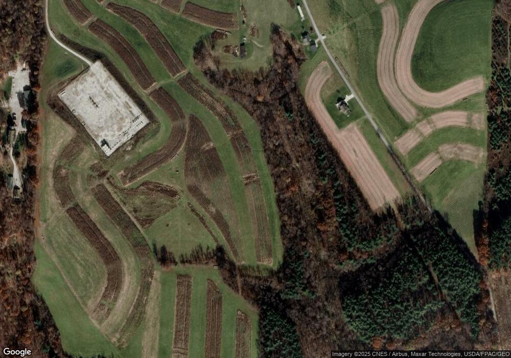
Map
Nearby Homes
- 5140 Pinto Rd SE
- 1121 Center St SW
- 2227 Elk Rd SW Unit 14A
- 1045 Amsterdam Rd SE Unit 30
- 0 Aster Rd Unit 5154135
- 2245 Scroll Rd SW Unit 17
- 8125 Scio Rd SE Unit 35
- 2081 Antigua Rd SW Unit 17
- 8013 & 8019 East St SW
- 3145 Steubenville Rd SE Unit 16
- 7822 Hilltop Dr NW
- 6090 Revere Rd SW
- 238 High St SW Unit 3A
- 208 2nd St SW Unit 5
- 819 Courtview Dr SW Unit 81
- 928 Overlook Ln NE
- 8116 Deer Rd SW Unit 29B3
- 307 Lincoln Ave NW Unit 36
- 91510 Amos Rd
- 144 Arrow Rd SW Unit 19
- 5037 Pillar Rd SW Unit 2
- 5056 Scio Rd SW Unit 2
- 4340 Pillar Rd SW Unit 3A
- 5060 Pillar Rd SW Unit 32
- 5111 Pillar Rd SW Unit 32
- 5041 Picador Rd SE Unit 32
- 5062 Scio Rd SW Unit 2
- 5115 Scio Rd SW Unit 2
- 5160 Chalon Rd SW Unit 2
- 5011 Scio Rd SW Unit 2
- 5005 Scio Rd SW
- 4251 Picador Rd SE Unit 33
- 5129 Scio Rd SW Unit 2
- 4258 Scio Rd SW Unit 3A
- 5003 Scio Rd SW
- 5141 Scio Rd SW Unit 2
- 5170 Chalon Rd SW
- 5077 Picador Rd SE Unit 32
- 5149 Scio Rd SW Unit 2
- 5117 Picador Rd SE Unit 32