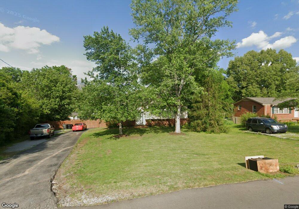
5008 Brookside Dr Columbia, TN 38401
--
Bed
2
Baths
1,994
Sq Ft
14,810
Sq Ft Lot
About This Home
This home is located at 5008 Brookside Dr, Columbia, TN 38401. 5008 Brookside Dr is a home located in Maury County with nearby schools including J.E. Woodard Elementary School, Whitthorne Middle School, and Columbia Central High School.
Create a Home Valuation Report for This Property
The Home Valuation Report is an in-depth analysis detailing your home's value as well as a comparison with similar homes in the area
Home Values in the Area
Average Home Value in this Area
Tax History
| Year | Tax Paid | Tax Assessment Tax Assessment Total Assessment is a certain percentage of the fair market value that is determined by local assessors to be the total taxable value of land and additions on the property. | Land | Improvement |
|---|---|---|---|---|
| 2022 | $1,641 | $60,025 | $12,500 | $47,525 |
Source: Public Records
Map
Nearby Homes
- 104 Darden Place
- 305 Evergreen Dr
- 6016 Clifton Dr
- 3002 Knud Dr
- 6006 Clifton Dr
- 255 Valley Dr
- 1612 Baucom Dr
- 2910 Brookside Dr
- 1701 Jamie Dr
- 1620 Baucom Dr
- 4002 Trotwood Ave
- 526 Woods Dr
- 120 Pleasant Dr
- 5013 Hays Dr
- 1611 Annie Ln
- 131 Overlook Place
- 2719 Gray Cir
- 103 Reaves Cove Rd
- 505 Woods Dr
- 0 N Stone Dr
- 5010 Brookside Dr
- 4009 Glenrose Dr
- 5004 Brookside Dr
- 4007 Glenrose Dr
- 5007 Brookside Dr
- 4011 Glenrose Dr
- 5012 Brookside Dr
- 4005 Glenrose Dr
- 5005 Brookside Dr
- 5002 Brookside Dr
- 3005 Windsor Dr
- 3003 Windsor Dr
- 3007 Windsor Dr
- 5014 Brookside Dr
- 5003 Brookside Dr
- 3009 Windsor Dr
- 5003 Hairston Ct
- 3001 Windsor Dr
- 4003 Glenrose Dr
- 5001 Hairston Ct
Your Personal Tour Guide
Ask me questions while you tour the home.