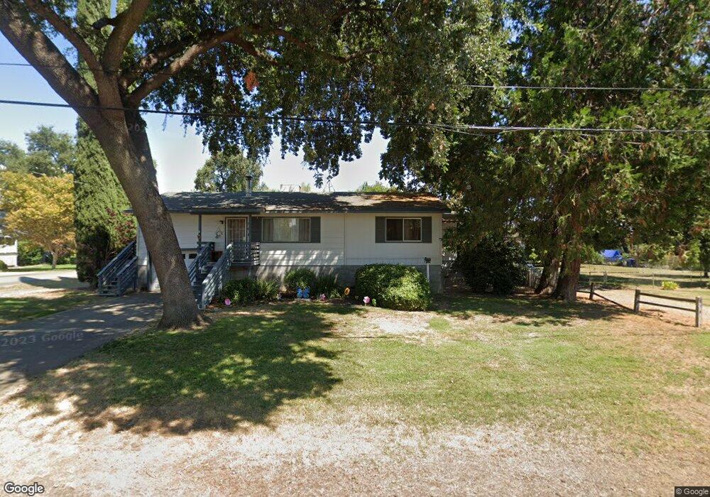
501 2nd St Corning, CA 96021
Estimated Value: $236,000 - $312,000
2
Beds
2
Baths
1,300
Sq Ft
$216/Sq Ft
Est. Value
About This Home
This home is located at 501 2nd St, Corning, CA 96021 and is currently estimated at $280,920, approximately $216 per square foot. 501 2nd St is a home located in Tehama County with nearby schools including Los Molinos High School.
Ownership History
Date
Name
Owned For
Owner Type
Purchase Details
Closed on
May 13, 2016
Sold by
Eachus John A and Eachus Glenda F
Bought by
Ford Ruth C J and Ford Robert W
Current Estimated Value
Home Financials for this Owner
Home Financials are based on the most recent Mortgage that was taken out on this home.
Original Mortgage
$162,011
Outstanding Balance
$128,677
Interest Rate
3.59%
Mortgage Type
FHA
Estimated Equity
$152,243
Purchase Details
Closed on
May 10, 2005
Sold by
Phillips Zona A
Bought by
Eachus John A and Eachus Glenda F
Home Financials for this Owner
Home Financials are based on the most recent Mortgage that was taken out on this home.
Original Mortgage
$204,000
Interest Rate
5.84%
Mortgage Type
Fannie Mae Freddie Mac
Create a Home Valuation Report for This Property
The Home Valuation Report is an in-depth analysis detailing your home's value as well as a comparison with similar homes in the area
Purchase History
| Date | Buyer | Sale Price | Title Company |
|---|---|---|---|
| Ford Ruth C J | $165,000 | Placer Title Company | |
| Eachus John A | $255,000 | Chicago Title Co |
Source: Public Records
Mortgage History
| Date | Status | Borrower | Loan Amount |
|---|---|---|---|
| Open | Ford Ruth C J | $162,011 | |
| Previous Owner | Eachus John A | $204,000 |
Source: Public Records
Tax History
| Year | Tax Paid | Tax Assessment Tax Assessment Total Assessment is a certain percentage of the fair market value that is determined by local assessors to be the total taxable value of land and additions on the property. | Land | Improvement |
|---|---|---|---|---|
| 2025 | $1,881 | $195,319 | $29,591 | $165,728 |
| 2023 | $1,848 | $187,737 | $28,443 | $159,294 |
| 2022 | $1,802 | $184,057 | $27,886 | $156,171 |
| 2021 | $1,769 | $180,449 | $27,340 | $153,109 |
| 2020 | $1,772 | $178,600 | $27,060 | $151,540 |
| 2019 | $1,747 | $175,099 | $26,530 | $148,569 |
| 2018 | $1,688 | $171,666 | $26,010 | $145,656 |
| 2017 | $1,681 | $168,300 | $25,500 | $142,800 |
| 2016 | $1,603 | $157,035 | $36,949 | $120,086 |
| 2015 | -- | $157,035 | $36,949 | $120,086 |
| 2014 | $1,332 | $136,553 | $32,130 | $104,423 |
Source: Public Records
Map
Nearby Homes
- 375 F St
- 775 5th St
- 201 Cavalier Dr
- 751 5th St
- 24620 Tehama Vina Rd
- 25091 Grant St
- 8220 Marek Rd
- 7918 State Highway 99 E
- 8145 State Highway 99 E
- 8080 Hwy 99 E
- 8080 State Highway 99e
- 8255 State Highway 99e Unit 18
- 7701 Sherwood Blvd
- 8435 Hollis St
- 25252 S Center St
- 24115 Black Bart Ct
- 8140 Sherwood Blvd
- 25297 Orange St
- 8311 Sherwood Blvd
- 8605 State Highway 99e
Your Personal Tour Guide
Ask me questions while you tour the home.