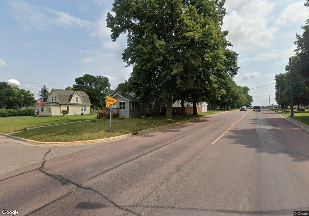
501 5th St Unit 501 5th Street Nicollet, MN 56074
Estimated Value: $187,000 - $243,000
3
Beds
1
Bath
1,328
Sq Ft
$168/Sq Ft
Est. Value
About This Home
This home is located at 501 5th St Unit 501 5th Street, Nicollet, MN 56074 and is currently estimated at $222,814, approximately $167 per square foot. 501 5th St Unit 501 5th Street is a home located in Nicollet County with nearby schools including Nicollet Elementary School, Nicollet Senior High School, and Trinity Evangelical Lutheran.
Ownership History
Date
Name
Owned For
Owner Type
Purchase Details
Closed on
Mar 12, 2012
Sold by
Beyer Seth and Beyer Tracey L
Bought by
Dodge N P
Current Estimated Value
Purchase Details
Closed on
Oct 22, 2009
Sold by
Federal Home Loan Mortgage Corporation
Bought by
Land To Home Development
Home Financials for this Owner
Home Financials are based on the most recent Mortgage that was taken out on this home.
Original Mortgage
$48,500
Interest Rate
5.11%
Purchase Details
Closed on
Oct 5, 2009
Sold by
Federal Home Loan Mortgage Corporation
Bought by
Land To Home Development Inc
Home Financials for this Owner
Home Financials are based on the most recent Mortgage that was taken out on this home.
Original Mortgage
$48,500
Interest Rate
5.11%
Create a Home Valuation Report for This Property
The Home Valuation Report is an in-depth analysis detailing your home's value as well as a comparison with similar homes in the area
Home Values in the Area
Average Home Value in this Area
Purchase History
| Date | Buyer | Sale Price | Title Company |
|---|---|---|---|
| Dodge N P | $79,000 | -- | |
| Land To Home Development | $47,000 | -- | |
| Land To Home Development Inc | $111,500 | -- |
Source: Public Records
Mortgage History
| Date | Status | Borrower | Loan Amount |
|---|---|---|---|
| Previous Owner | Land To Home Development | $48,500 | |
| Previous Owner | Land To Home Development Inc | $48,500 |
Source: Public Records
Tax History Compared to Growth
Tax History
| Year | Tax Paid | Tax Assessment Tax Assessment Total Assessment is a certain percentage of the fair market value that is determined by local assessors to be the total taxable value of land and additions on the property. | Land | Improvement |
|---|---|---|---|---|
| 2025 | $1,690 | $175,800 | $23,000 | $152,800 |
| 2024 | $1,752 | $163,900 | $23,000 | $140,900 |
| 2023 | $1,646 | $154,700 | $23,000 | $131,700 |
| 2022 | $1,616 | $139,400 | $23,000 | $116,400 |
| 2021 | $1,478 | $119,300 | $23,000 | $96,300 |
| 2020 | $1,330 | $111,300 | $19,600 | $91,700 |
| 2019 | $1,318 | $108,500 | $19,600 | $88,900 |
| 2018 | $2,402 | $106,300 | $12,900 | $93,400 |
| 2017 | -- | $105,200 | $0 | $0 |
| 2016 | $2,116 | $0 | $0 | $0 |
| 2015 | -- | $0 | $0 | $0 |
| 2011 | -- | $0 | $0 | $0 |
Source: Public Records
Map
Nearby Homes
- 402 Cedar St
- 824 4th St
- 1012 3rd St
- 118 Chase Ave
- 0 County Road 4
- 847 E Judson Fort Rd E
- TBD U S Hwy 14
- 000 Drill Dr
- 5XX W Ridge Rd
- 45335 531st Ave
- XXX 391st Ln
- 0 Xxx 391st Ln Unit TBD 391st Lane
- 0 Tbd Butternut Valley Township Unit 7038031
- 314 Boulder Rd
- 327 Ashlynn Ct
- 319 Ashlynn Ct
- 317 Ashlynn Ct
- 325 Ashlynn Ct
- 326 Ashlynn Ct
- 329 Ashlynn Ct