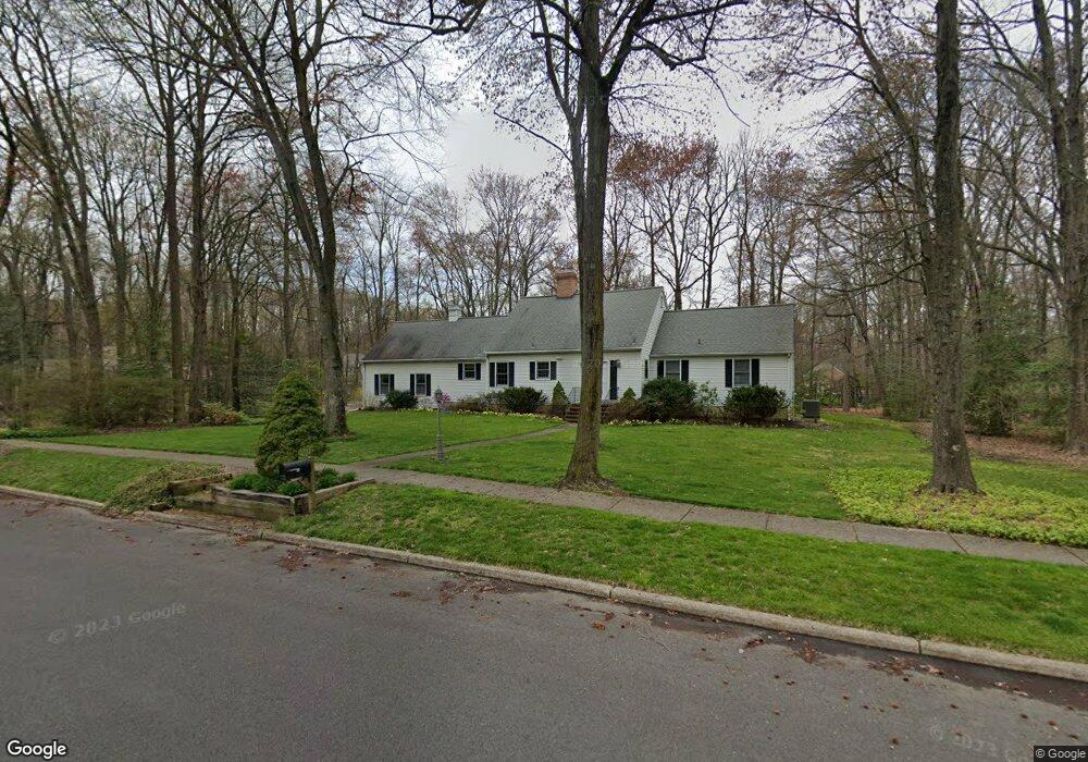
501 Bartram Rd Moorestown, NJ 08057
Estimated Value: $773,000 - $1,066,000
--
Bed
--
Bath
2,406
Sq Ft
$386/Sq Ft
Est. Value
About This Home
This home is located at 501 Bartram Rd, Moorestown, NJ 08057 and is currently estimated at $929,512, approximately $386 per square foot. 501 Bartram Rd is a home located in Burlington County with nearby schools including George C. Baker Elementary School, Moorestown Upper Elementary School, and William Allen Middle School.
Ownership History
Date
Name
Owned For
Owner Type
Purchase Details
Closed on
Sep 15, 1999
Sold by
Ferraro Edward R and Ferraro Carol Ann
Bought by
Brew Michael G and Brew Nanette D
Current Estimated Value
Home Financials for this Owner
Home Financials are based on the most recent Mortgage that was taken out on this home.
Original Mortgage
$125,000
Outstanding Balance
$37,030
Interest Rate
7.81%
Estimated Equity
$892,482
Create a Home Valuation Report for This Property
The Home Valuation Report is an in-depth analysis detailing your home's value as well as a comparison with similar homes in the area
Home Values in the Area
Average Home Value in this Area
Purchase History
| Date | Buyer | Sale Price | Title Company |
|---|---|---|---|
| Brew Michael G | $350,000 | Title Partners Of Moorestown |
Source: Public Records
Mortgage History
| Date | Status | Borrower | Loan Amount |
|---|---|---|---|
| Open | Brew Michael G | $125,000 |
Source: Public Records
Tax History Compared to Growth
Tax History
| Year | Tax Paid | Tax Assessment Tax Assessment Total Assessment is a certain percentage of the fair market value that is determined by local assessors to be the total taxable value of land and additions on the property. | Land | Improvement |
|---|---|---|---|---|
| 2025 | $15,584 | $549,300 | $282,400 | $266,900 |
| 2024 | $15,111 | $549,300 | $282,400 | $266,900 |
| 2023 | $15,111 | $549,300 | $282,400 | $266,900 |
| 2022 | $14,957 | $549,300 | $282,400 | $266,900 |
| 2021 | $14,510 | $549,300 | $282,400 | $266,900 |
| 2020 | $14,666 | $549,300 | $282,400 | $266,900 |
| 2019 | $14,408 | $549,300 | $282,400 | $266,900 |
| 2018 | $14,018 | $549,300 | $282,400 | $266,900 |
| 2017 | $13,889 | $549,300 | $282,400 | $266,900 |
| 2016 | $13,840 | $549,300 | $282,400 | $266,900 |
| 2015 | $13,669 | $549,300 | $282,400 | $266,900 |
| 2014 | $12,966 | $549,300 | $282,400 | $266,900 |
Source: Public Records
Map
Nearby Homes
- 543 Bethel Ave
- 308 Farmdale Rd
- 316 Farmdale Rd
- 25 Oriole Way
- 493 N Church St
- 423 Park Blvd
- 313 Fairview Ave
- 531 Covington Terrace
- 316 W 3rd St
- 2801 Riverton Rd
- 205 Crider Ave Unit 205
- 50 E 3rd St
- 15 E 2nd St
- 709 Manor Terrace
- 66 E 3rd St
- 82 E 3rd St
- 80 E 3rd St
- 863 Golf View Rd
- 129 S Church St
- 4 W Close
- 5 Pepperbush Ln
- 503 Bartram Rd
- 500 Bartram Rd
- 6 Pepperbush Ln
- 4 Pepperbush Ln
- 504 Bartram Rd
- 4 Winterberry Rd
- 7 Pepperbush Ln
- 505 Bartram Rd
- 8 Pepperbush Ln
- 2 Pepperbush Ln
- 6 Winterberry Rd
- 728 Iron Post Rd
- 508 Bartram Rd
- 10 Pepperbush Ln
- 4 Bartram Ct
- 3 Bartram Ct
- 9 Pepperbush Ln
- 3 Winterberry Rd
- 724 Iron Post Rd