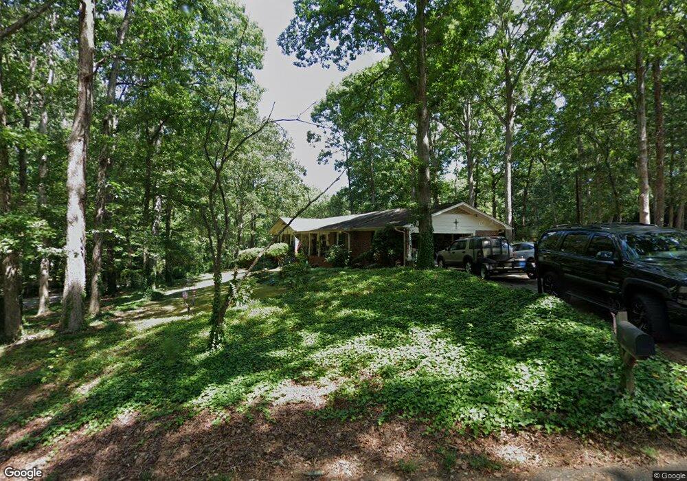
501 Brookgreen Ct Unit $8,000 TAX CREDIT Anderson, SC 29625
Estimated Value: $275,329 - $304,000
3
Beds
2
Baths
1,820
Sq Ft
$160/Sq Ft
Est. Value
About This Home
This home is located at 501 Brookgreen Ct Unit $8,000 TAX CREDIT, Anderson, SC 29625 and is currently estimated at $291,832, approximately $160 per square foot. 501 Brookgreen Ct Unit $8,000 TAX CREDIT is a home located in Anderson County with nearby schools including Whitehall Elementary School, Westside High School, and Anderson Institute of Technology.
Ownership History
Date
Name
Owned For
Owner Type
Purchase Details
Closed on
Nov 24, 2009
Sold by
Epting Carl Russell and Epting Mary Ann
Bought by
Eichorst Ii John P and Eichorst Susan M
Current Estimated Value
Home Financials for this Owner
Home Financials are based on the most recent Mortgage that was taken out on this home.
Original Mortgage
$136,972
Outstanding Balance
$89,844
Interest Rate
5.01%
Mortgage Type
FHA
Estimated Equity
$201,988
Create a Home Valuation Report for This Property
The Home Valuation Report is an in-depth analysis detailing your home's value as well as a comparison with similar homes in the area
Home Values in the Area
Average Home Value in this Area
Purchase History
| Date | Buyer | Sale Price | Title Company |
|---|---|---|---|
| Eichorst Ii John P | $139,500 | -- |
Source: Public Records
Mortgage History
| Date | Status | Borrower | Loan Amount |
|---|---|---|---|
| Open | Eichorst Ii John P | $136,972 |
Source: Public Records
Tax History Compared to Growth
Tax History
| Year | Tax Paid | Tax Assessment Tax Assessment Total Assessment is a certain percentage of the fair market value that is determined by local assessors to be the total taxable value of land and additions on the property. | Land | Improvement |
|---|---|---|---|---|
| 2024 | $858 | $7,060 | $1,240 | $5,820 |
| 2023 | $858 | $7,060 | $1,240 | $5,820 |
| 2022 | $827 | $7,060 | $1,240 | $5,820 |
| 2021 | $752 | $5,960 | $800 | $5,160 |
| 2020 | $744 | $5,960 | $800 | $5,160 |
| 2019 | $744 | $5,960 | $800 | $5,160 |
| 2018 | $756 | $5,960 | $800 | $5,160 |
| 2017 | -- | $5,960 | $800 | $5,160 |
| 2016 | $709 | $5,540 | $800 | $4,740 |
| 2015 | $724 | $5,540 | $800 | $4,740 |
| 2014 | $719 | $5,540 | $800 | $4,740 |
Source: Public Records
Map
Nearby Homes
- 505 Brookgreen Ct
- 211 Phil Watson Rd
- 401 Phil Watson Rd
- 408 Greenbriar Ln
- 4214 Hembree Creek Rd
- 105-107 Independence Path
- 4115 Liberty Hwy
- 212 Middleton Shores Dr
- 301 Woodlake Rd
- 216 Maplewood Rd
- 103 Northlake Dr
- 203 Northlake Dr Unit 2C
- 302 Northlake Dr Unit 3B
- 404 Northlake Dr Unit 4D
- 1210 Northlake Dr Unit 12 J
- 1106 Northlake Dr Unit 11F
- 210 Giles St
- 1011 Northlake Dr Unit 10K
- 212 Giles St
- 214 Giles St
- 501 Brookgreen Ct
- 500 Brookgreen Ct
- 602 Brookgreen Dr
- 307 Brookgreen Cir
- 401 Brookgreen Dr
- 509 Brookgreen Ct
- 507 Brookgreen Ct
- 305 Brookgreen Cir
- LOT 49 Brookgreen Dr
- LOT 51 &52 Brookgreen Dr
- LOT 50 Brookgreen Dr
- LOT 48 Brookgreen Dr
- 209 Brookgreen Dr
- Lot 24 Brookgreen Dr
- Lot 23 Brookgreen Dr
- Lot 22 Brookgreen Dr
- 400 Brookgreen Dr
- 603 Brookgreen Dr
- 215 Brookgreen Dr
- 215 Huntington Dr