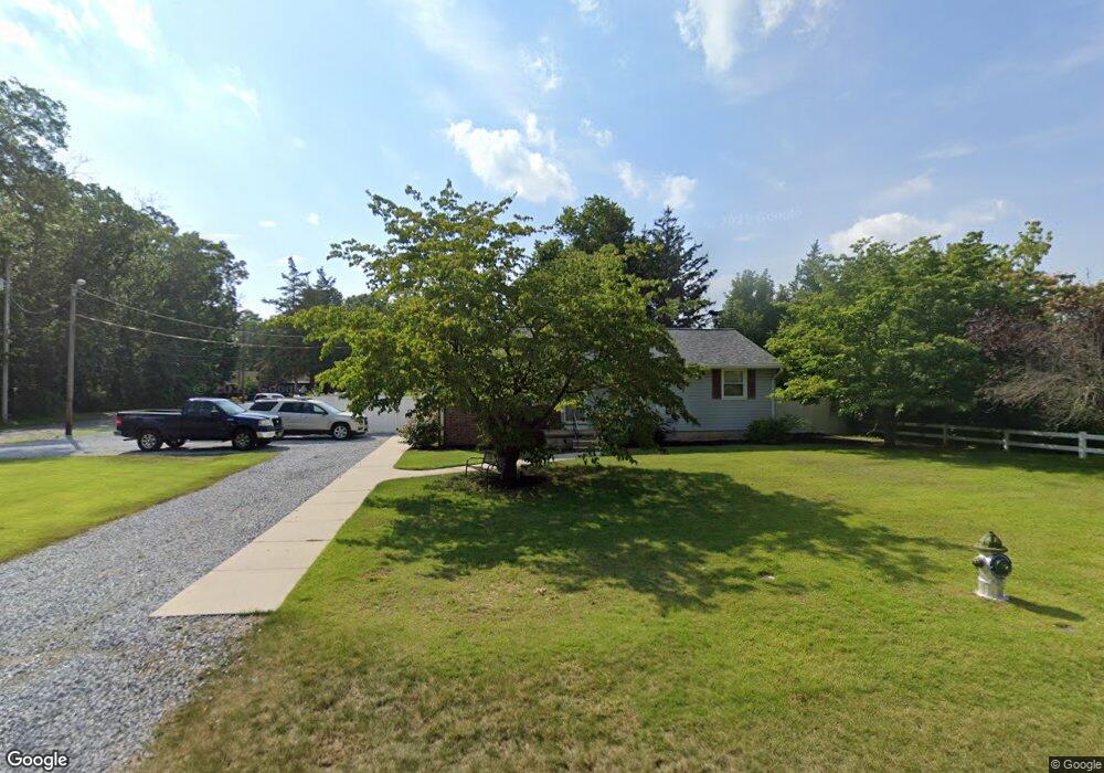
501 Calhoun Ave Mays Landing, NJ 08330
Estimated Value: $240,746 - $300,000
--
Bed
--
Bath
1,032
Sq Ft
$265/Sq Ft
Est. Value
About This Home
This home is located at 501 Calhoun Ave, Mays Landing, NJ 08330 and is currently estimated at $273,187, approximately $264 per square foot. 501 Calhoun Ave is a home located in Atlantic County with nearby schools including Joseph Shaner School, George L. Hess Educational Complex, and William Davies Middle School.
Ownership History
Date
Name
Owned For
Owner Type
Purchase Details
Closed on
Jun 26, 1989
Sold by
Mcginty Claudia and Mcginty Aaron,Doris
Bought by
Santilli James S and Santilli Maria C
Current Estimated Value
Create a Home Valuation Report for This Property
The Home Valuation Report is an in-depth analysis detailing your home's value as well as a comparison with similar homes in the area
Home Values in the Area
Average Home Value in this Area
Purchase History
| Date | Buyer | Sale Price | Title Company |
|---|---|---|---|
| Santilli James S | $75,000 | -- |
Source: Public Records
Tax History Compared to Growth
Tax History
| Year | Tax Paid | Tax Assessment Tax Assessment Total Assessment is a certain percentage of the fair market value that is determined by local assessors to be the total taxable value of land and additions on the property. | Land | Improvement |
|---|---|---|---|---|
| 2025 | $4,532 | $132,100 | $45,400 | $86,700 |
| 2024 | $4,532 | $132,100 | $45,400 | $86,700 |
| 2023 | $4,262 | $132,100 | $45,400 | $86,700 |
| 2022 | $4,262 | $132,100 | $45,400 | $86,700 |
| 2021 | $4,252 | $132,100 | $45,400 | $86,700 |
| 2020 | $4,252 | $132,100 | $45,400 | $86,700 |
| 2019 | $4,263 | $132,100 | $45,400 | $86,700 |
| 2018 | $4,114 | $132,100 | $45,400 | $86,700 |
| 2017 | $4,049 | $132,100 | $45,400 | $86,700 |
| 2016 | $3,935 | $132,100 | $45,400 | $86,700 |
| 2015 | $3,802 | $132,100 | $45,400 | $86,700 |
| 2014 | $3,849 | $146,500 | $54,100 | $92,400 |
Source: Public Records
Map
Nearby Homes
- 526 Bainbridge Ave
- 535 Park Rd
- 565 Park Rd
- 717 Route 50
- 0 3rd St
- Rt 50 and Old Mays Landing Rd
- 5745 2nd St
- 80 Mill St
- 1st First Ave
- Lot:11.02-12.02 Estelle Ave
- B:534 L:11.01 Estelle Ave
- B:534 L:12.02 Estelle Ave
- B:534 L:11.02 Estelle Ave
- 0 Cape May Ave
- Bl 531 Lot 8&9 Adams Ave
- 22 Ernst Ct
- 42 Ernst Ct
- 850 Morningside Dr
- 225 Old River Rd
- 6126 Longwood Ave
- 517 Calhoun Ave
- 517 Calhoun St
- 6209 5th St
- 510 Bainbridge Ave
- 520 Bainbridge Ave
- 500 Calhoun Ave
- 6871-73 Harding Hgwy @ Strand Ave
- 00 Hunter Ave
- Klondyke Ave B609 L30
- 534 Bainbridge Ave
- 526 Calhoun Ave
- 412 Calhoun Ave
- 542 Bainbridge Ave
- 413 Calhoun Ave
- 501 Decatur Ave
- 509 Bainbridge Ave
- 6208 5th St
- 509 Decatur Ave
- 550 Bainbridge Ave
- 542 Calhoun Ave