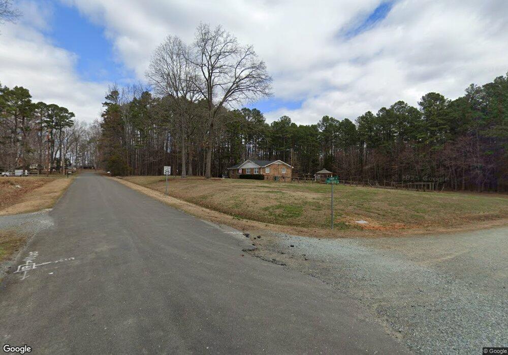
501 Crievewood Dr Durham, NC 27712
Estimated Value: $387,729 - $415,000
3
Beds
2
Baths
2,123
Sq Ft
$190/Sq Ft
Est. Value
About This Home
This home is located at 501 Crievewood Dr, Durham, NC 27712 and is currently estimated at $403,682, approximately $190 per square foot. 501 Crievewood Dr is a home located in Durham County with nearby schools including Little River Elementary School, Lucas Middle School, and Northern High School.
Ownership History
Date
Name
Owned For
Owner Type
Purchase Details
Closed on
Jun 15, 2020
Sold by
Dennis Thomas A and Dennis Barbara J
Bought by
Lass Tyler and Jackson Victoria
Current Estimated Value
Home Financials for this Owner
Home Financials are based on the most recent Mortgage that was taken out on this home.
Original Mortgage
$257,050
Outstanding Balance
$227,855
Interest Rate
3.2%
Mortgage Type
New Conventional
Estimated Equity
$175,827
Create a Home Valuation Report for This Property
The Home Valuation Report is an in-depth analysis detailing your home's value as well as a comparison with similar homes in the area
Home Values in the Area
Average Home Value in this Area
Purchase History
| Date | Buyer | Sale Price | Title Company |
|---|---|---|---|
| Lass Tyler | $265,000 | None Available |
Source: Public Records
Mortgage History
| Date | Status | Borrower | Loan Amount |
|---|---|---|---|
| Open | Lass Tyler | $257,050 |
Source: Public Records
Tax History Compared to Growth
Tax History
| Year | Tax Paid | Tax Assessment Tax Assessment Total Assessment is a certain percentage of the fair market value that is determined by local assessors to be the total taxable value of land and additions on the property. | Land | Improvement |
|---|---|---|---|---|
| 2025 | $2,500 | $329,232 | $93,500 | $235,732 |
| 2024 | $2,219 | $204,572 | $37,400 | $167,172 |
| 2023 | $2,092 | $204,572 | $37,400 | $167,172 |
| 2022 | $1,994 | $204,572 | $37,400 | $167,172 |
| 2021 | $1,733 | $204,572 | $37,400 | $167,172 |
| 2020 | $1,698 | $204,572 | $37,400 | $167,172 |
| 2019 | $1,698 | $204,572 | $37,400 | $167,172 |
| 2018 | $1,592 | $178,177 | $32,725 | $145,452 |
| 2017 | $1,574 | $178,177 | $32,725 | $145,452 |
| 2016 | $1,507 | $196,213 | $32,725 | $163,488 |
| 2015 | $1,635 | $166,308 | $32,230 | $134,078 |
| 2014 | $1,635 | $166,308 | $32,230 | $134,078 |
Source: Public Records
Map
Nearby Homes
- 5940 N Roxboro Rd
- 309 Smith Dr
- 314 Smith Dr
- 155 Smith Dr
- 904 Snow Hill Rd
- 5703 Altrada Dr
- 5500 Novaglen Rd
- 206 Epperson Dr
- 404 Goodwin Rd
- 6119 Baird St
- 19 Northern Way Ct
- 512 W Bywood Dr
- 6 Blake Ct
- 312 Mason Rd
- 1308 Snow Hill Rd
- 1302 Snow Hill Rd
- 1617 Torredge Rd
- 1318 Torredge Rd
- 115 Macwood Dr
- 5805 Prioress Dr
- 5716 Furman Ln
- 5721 Furman Ln
- 5715 Furman Ln
- 5725 Furman Ln
- 5711 Furman Ln
- 5711 Furman Ln Unit 11
- 500 Crievewood Dr
- 506 Kingsbury Dr
- 5729 Furman Ln
- 5707 Furman Ln
- 510 Crievewood Dr
- 5733 Furman Ln
- 5701 Furman Ln
- 501 Kingsbury Dr
- 507 Kingsbury Dr
- 509 Kingsbury Dr
- 511 Kingsbury Dr
- 431 Kingsbury Dr
- 825 Sandlewood Dr
- 815 Sandlewood Dr