501 Division St West Branch, IA 52358
Estimated Value: $472,322
--
Bed
--
Bath
4,920
Sq Ft
$96/Sq Ft
Est. Value
About This Home
This home is located at 501 Division St, West Branch, IA 52358 and is currently estimated at $472,322, approximately $96 per square foot. 501 Division St is a home located in Cedar County with nearby schools including Hoover Elementary School, West Branch Middle School, and West Branch High School.
Ownership History
Date
Name
Owned For
Owner Type
Purchase Details
Closed on
Oct 27, 2021
Sold by
Clifford Pool
Bought by
Haub Properties Llc
Current Estimated Value
Home Financials for this Owner
Home Financials are based on the most recent Mortgage that was taken out on this home.
Original Mortgage
$304,000
Outstanding Balance
$276,014
Interest Rate
2.8%
Mortgage Type
New Conventional
Estimated Equity
$196,308
Create a Home Valuation Report for This Property
The Home Valuation Report is an in-depth analysis detailing your home's value as well as a comparison with similar homes in the area
Home Values in the Area
Average Home Value in this Area
Purchase History
| Date | Buyer | Sale Price | Title Company |
|---|---|---|---|
| Haub Properties Llc | -- | Simmons Perrine Moyer Bergman |
Source: Public Records
Mortgage History
| Date | Status | Borrower | Loan Amount |
|---|---|---|---|
| Open | Haub Properties Llc | $304,000 |
Source: Public Records
Tax History Compared to Growth
Tax History
| Year | Tax Paid | Tax Assessment Tax Assessment Total Assessment is a certain percentage of the fair market value that is determined by local assessors to be the total taxable value of land and additions on the property. | Land | Improvement |
|---|---|---|---|---|
| 2025 | $9,060 | $351,990 | $153,710 | $198,280 |
| 2024 | $9,060 | $351,990 | $153,710 | $198,280 |
| 2023 | $9,154 | $353,490 | $153,710 | $199,780 |
| 2022 | $7,144 | $304,710 | $153,710 | $151,000 |
| 2021 | $6,788 | $304,710 | $153,710 | $151,000 |
| 2020 | $6,808 | $297,840 | $153,710 | $144,130 |
| 2019 | $5,580 | $286,060 | $0 | $0 |
| 2018 | $5,598 | $286,060 | $0 | $0 |
| 2017 | $5,598 | $288,440 | $0 | $0 |
| 2016 | $5,850 | $288,440 | $0 | $0 |
| 2015 | $6,112 | $268,840 | $0 | $0 |
| 2014 | $8,578 | $268,840 | $0 | $0 |
Source: Public Records
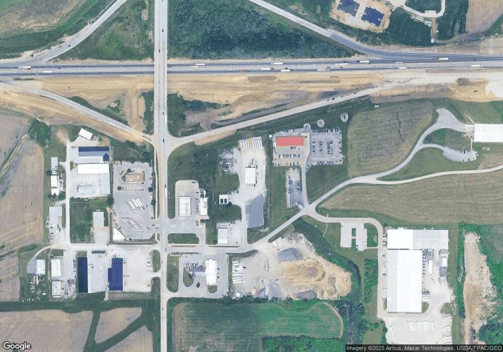
Map
Nearby Homes
- 314 Sycamore Dr
- 312 Sycamore Dr
- 316 Sycamore Dr
- 360 Cookson Dr
- 316 S Maple St
- 127 N Downey St
- 120 N Downey St
- 168 290th St
- 1904 Charles Ave
- 426 N 1st St
- 110 Northside Dr
- 1932 Charles Ave Lot 8
- 121 Northridge Dr Unit 121-139
- 1924 Charles Ave Lot 6
- 1928 Charles Ave Lot 7
- 173 Hilltop Dr
- 557 N 4th St
- 521 N 4th St Unit Louise Court Condos
- 611 Riley Ln
- 1912 Charles Ave Lot 3
- 620 Division St
- 619 S Downey St
- 711 S Downey St
- 1692 Baker Ave
- 107 W Tidewater Dr
- 611 Leonard Ln
- 228 Tidewater Dr
- 228 Tidewater Dr
- 202 Sycamore Dr Unit 4
- 202 Sycamore Dr Unit 8
- 202 Sycamore Dr Unit 12
- 705 Industrial Dr
- 612 Leonard Ln
- 729 Industrial Dr
- Lot 3 Parkside Hills
- 324 Sycamore Dr
- 399 Parkside Dr
- 401 Parkside Dr
- 401 Parkside Dr Unit 3
- 401 Parkside Dr Unit 2