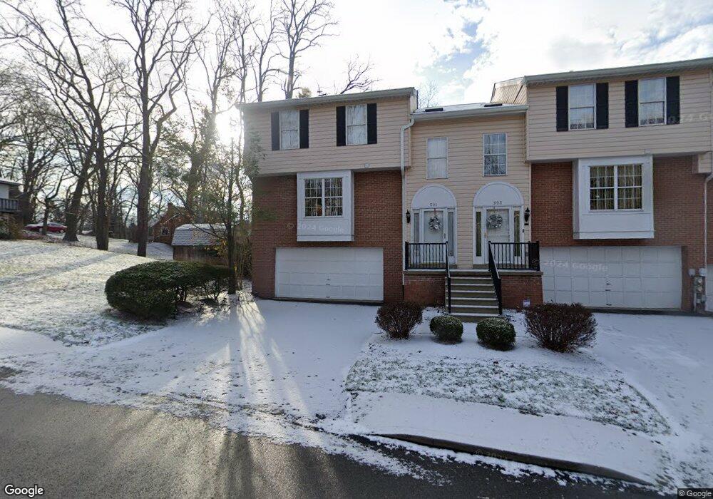
501 Newport Dr Pittsburgh, PA 15235
Penn Hills Township NeighborhoodEstimated Value: $216,256 - $268,000
2
Beds
3
Baths
2,050
Sq Ft
$116/Sq Ft
Est. Value
About This Home
This home is located at 501 Newport Dr, Pittsburgh, PA 15235 and is currently estimated at $238,064, approximately $116 per square foot. 501 Newport Dr is a home located in Allegheny County with nearby schools including Penn Hills Elementary School, Linton Middle School, and Penn Hills Senior High School.
Ownership History
Date
Name
Owned For
Owner Type
Purchase Details
Closed on
Jul 25, 2007
Sold by
Shannon Coe
Bought by
Powell Conley N
Current Estimated Value
Home Financials for this Owner
Home Financials are based on the most recent Mortgage that was taken out on this home.
Original Mortgage
$153,000
Outstanding Balance
$97,020
Interest Rate
6.78%
Mortgage Type
New Conventional
Estimated Equity
$141,044
Create a Home Valuation Report for This Property
The Home Valuation Report is an in-depth analysis detailing your home's value as well as a comparison with similar homes in the area
Home Values in the Area
Average Home Value in this Area
Purchase History
| Date | Buyer | Sale Price | Title Company |
|---|---|---|---|
| Powell Conley N | $203,000 | -- |
Source: Public Records
Mortgage History
| Date | Status | Borrower | Loan Amount |
|---|---|---|---|
| Open | Powell Conley N | $153,000 |
Source: Public Records
Tax History Compared to Growth
Tax History
| Year | Tax Paid | Tax Assessment Tax Assessment Total Assessment is a certain percentage of the fair market value that is determined by local assessors to be the total taxable value of land and additions on the property. | Land | Improvement |
|---|---|---|---|---|
| 2025 | $4,578 | $109,600 | -- | $109,600 |
| 2024 | $4,578 | $109,600 | -- | $109,600 |
| 2023 | $4,578 | $109,600 | $0 | $109,600 |
| 2022 | $4,523 | $109,600 | $0 | $109,600 |
| 2021 | $1,224 | $109,600 | $0 | $109,600 |
| 2020 | $4,366 | $109,600 | $0 | $109,600 |
| 2019 | $4,366 | $109,600 | $0 | $109,600 |
| 2018 | $518 | $109,600 | $0 | $109,600 |
| 2017 | $3,998 | $109,600 | $0 | $109,600 |
| 2016 | $518 | $109,600 | $0 | $109,600 |
| 2015 | $518 | $109,600 | $0 | $109,600 |
| 2014 | $3,761 | $109,600 | $0 | $109,600 |
Source: Public Records
Map
Nearby Homes
- 256 Duff Rd
- 11717 Joan Dr
- 117 Oak Ave
- 501 Hoover Rd
- appx 360 Rodi Rd
- 130 Elizabeth Dr
- 109 Burton Dr
- 0 Park Dr Unit 1699468
- 25 Duff Rd
- 343 Jefferson Rd
- 505 Veronica Dr
- 329 Jefferson Rd
- 279 Richland Dr
- 612 Pennwood Dr
- 11505 Clematis Blvd
- 634 Homewood Dr
- 630 Veronica Dr
- 232 Highland Rd
- 129 Windsor Dr
- 531 Burton Dr
- 503 Newport Dr
- 505 Newport Dr Unit 505
- 507 Newport Dr Unit 507
- 509 Newport Dr
- 296 Duff Rd
- 511 Newport Dr
- 300 Duff Rd
- 513 Newport Dr
- 292 Duff Rd
- 515 Newport Dr Unit 515
- 290 Duff Rd
- 302 Duff Rd
- 304 Pheasant Dr
- 298 Pheasant Dr
- 288 Duff Rd
- 523 Newport Dr Unit 523
- 308 Pheasant Dr
- 306 Duff Rd
- 294 Pheasant Dr
- 312 Pheasant Dr