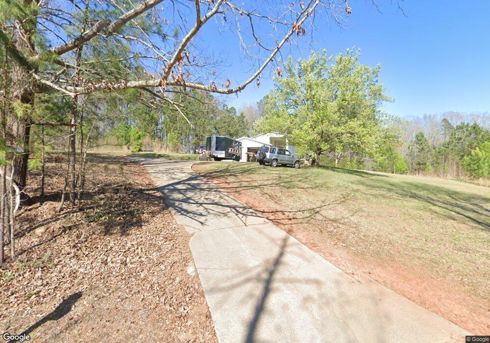
501 Robertson Rd Anderson, SC 29621
Estimated Value: $308,000 - $368,000
3
Beds
--
Bath
1,749
Sq Ft
$186/Sq Ft
Est. Value
About This Home
This home is located at 501 Robertson Rd, Anderson, SC 29621 and is currently estimated at $324,897, approximately $185 per square foot. 501 Robertson Rd is a home with nearby schools including Belton Honea Path High School.
Ownership History
Date
Name
Owned For
Owner Type
Purchase Details
Closed on
Dec 2, 2021
Sold by
Parnell Lydia S
Bought by
Miller Christopher R
Current Estimated Value
Home Financials for this Owner
Home Financials are based on the most recent Mortgage that was taken out on this home.
Original Mortgage
$83,182
Outstanding Balance
$71,228
Interest Rate
3.09%
Mortgage Type
Purchase Money Mortgage
Estimated Equity
$253,669
Purchase Details
Closed on
Feb 22, 2021
Sold by
Parnell Lydia S and Estate Of Benjamin Eugene Parn
Bought by
Parnell Lydia S
Create a Home Valuation Report for This Property
The Home Valuation Report is an in-depth analysis detailing your home's value as well as a comparison with similar homes in the area
Home Values in the Area
Average Home Value in this Area
Purchase History
| Date | Buyer | Sale Price | Title Company |
|---|---|---|---|
| Miller Christopher R | $103,978 | None Available | |
| Parnell Lydia S | -- | None Available |
Source: Public Records
Mortgage History
| Date | Status | Borrower | Loan Amount |
|---|---|---|---|
| Open | Miller Christopher R | $83,182 |
Source: Public Records
Tax History Compared to Growth
Tax History
| Year | Tax Paid | Tax Assessment Tax Assessment Total Assessment is a certain percentage of the fair market value that is determined by local assessors to be the total taxable value of land and additions on the property. | Land | Improvement |
|---|---|---|---|---|
| 2024 | $707 | $4,850 | $280 | $4,570 |
| 2023 | $707 | $4,850 | $280 | $4,570 |
| 2022 | $4,125 | $11,780 | $4,930 | $6,850 |
| 2021 | $314 | $4,310 | $360 | $3,950 |
| 2020 | $312 | $4,310 | $360 | $3,950 |
| 2019 | $312 | $4,310 | $360 | $3,950 |
| 2018 | $318 | $4,310 | $360 | $3,950 |
| 2017 | -- | $4,310 | $360 | $3,950 |
| 2016 | $250 | $4,090 | $280 | $3,810 |
| 2015 | $267 | $4,090 | $280 | $3,810 |
| 2014 | $270 | $4,090 | $280 | $3,810 |
Source: Public Records
Map
Nearby Homes
- 00 Robertson Rd
- 101 Rocky Top Rd
- 2604 Broadway Lake Rd
- 217 Long Branch Rd
- 215 Long Branch Rd
- 7 Long Branch Rd
- 113 P-14-64
- 104 Hart Rd
- 0 Broadway Lake Rd Unit 23383777
- 2213 Broadway Lake Rd
- 1111 Shirley Dr
- 1617 Due Hwy W Unit (lot 3)
- 1617 Due Hwy W Unit (lot 2)
- 1617 Due Hwy W Unit (lot 1)
- 00 Shirley Dr
- 1905 Broadway Lake Rd
- 450 Johnson Ave
- 1617 Due West (Lot 1) Hwy
- 1617 Due West (Lot 3) Hwy
- 1617 Due West (Lot 2) Hwy
- 119 Dyar Dr
- 115 Dyar Dr
- 111 Dyar Dr
- 340 Robertson Rd
- 422 Kudzu Rd
- 328 Robertson Rd
- 318 Kudzu Rd
- 213 Bryant Rd
- 228 Bryant Rd
- 316 State Road S-4-488
- 316 Robertson Rd
- 201 Bryant Rd
- 210 Bryant Rd
- 131 Tucker Dr
- 0000 State Road S-4-488
- 000 State Road S-4-488
- 2.10 Ac State Road S-4-488
- TR K State Road S-4-488
- 4.12 acres State Road S-4-488
- 224 Bryant Rd
