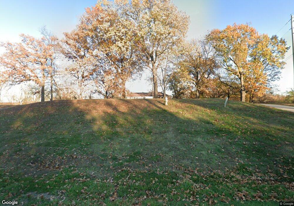
501 S Desoto Rd Lansing, KS 66043
Estimated Value: $340,000 - $364,000
3
Beds
2
Baths
1,740
Sq Ft
$201/Sq Ft
Est. Value
About This Home
This home is located at 501 S Desoto Rd, Lansing, KS 66043 and is currently estimated at $349,931, approximately $201 per square foot. 501 S Desoto Rd is a home located in Leavenworth County with nearby schools including Lansing Elementary School, Lansing Middle 6-8, and Lansing High 9-12.
Ownership History
Date
Name
Owned For
Owner Type
Purchase Details
Closed on
Feb 1, 1995
Bought by
Dare Donald E and Dare Carla J
Current Estimated Value
Home Financials for this Owner
Home Financials are based on the most recent Mortgage that was taken out on this home.
Original Mortgage
$50,000
Interest Rate
9.13%
Mortgage Type
New Conventional
Create a Home Valuation Report for This Property
The Home Valuation Report is an in-depth analysis detailing your home's value as well as a comparison with similar homes in the area
Home Values in the Area
Average Home Value in this Area
Purchase History
| Date | Buyer | Sale Price | Title Company |
|---|---|---|---|
| Dare Donald E | $112,500 | -- |
Source: Public Records
Mortgage History
| Date | Status | Borrower | Loan Amount |
|---|---|---|---|
| Closed | Dare Donald E | $50,000 |
Source: Public Records
Tax History Compared to Growth
Tax History
| Year | Tax Paid | Tax Assessment Tax Assessment Total Assessment is a certain percentage of the fair market value that is determined by local assessors to be the total taxable value of land and additions on the property. | Land | Improvement |
|---|---|---|---|---|
| 2025 | $4,793 | $36,524 | $7,538 | $28,986 |
| 2024 | $4,633 | $35,684 | $9,080 | $26,604 |
| 2023 | $4,633 | $35,684 | $9,080 | $26,604 |
| 2022 | $4,333 | $31,568 | $5,962 | $25,606 |
| 2021 | $3,969 | $27,588 | $5,092 | $22,496 |
| 2020 | $3,684 | $25,219 | $4,893 | $20,326 |
| 2019 | $3,513 | $24,028 | $4,548 | $19,480 |
| 2018 | $2,916 | $20,010 | $4,736 | $15,274 |
| 2017 | $2,923 | $20,010 | $4,736 | $15,274 |
| 2016 | $2,924 | $20,010 | $4,736 | $15,274 |
| 2015 | $2,850 | $19,569 | $4,736 | $14,833 |
| 2014 | $2,709 | $18,998 | $4,736 | $14,262 |
Source: Public Records
Map
Nearby Homes
- 000 4-H Rd
- 73 Continental Dr
- 77 Continental Dr
- 811 4-H Rd
- 624 S Bittersweet Ln
- 610 Meadowlark Rd
- 527 S Valley Dr
- 722 Bittersweet Rd
- 922 Southfork St
- 542 Creekside Ct
- 202 S Main St
- 124 S Main St
- 415 Fairlane St
- 506 1st Terrace
- 104 Olive St
- 512 Fairlane St
- 1221 S Desoto Rd
- 115 W Gilman Rd
- 901 S Main St
- 261 Holiday Dr
- 507 S Desoto Rd
- 409 S Desoto Rd
- 991 W Mary St
- 515 S Desoto Rd
- 521 S Desoto Rd
- 527 S Desoto Rd
- 601 S Desoto Rd
- 14752 Hillside Rd
- 26033 147th St
- 607 S Desoto Rd
- 800 W Mary St
- 14721 Hillside Rd
- 816 4h Rd
- 14814 Hillside Rd
- 25727 147th St
- 619 S Desoto Rd
- 701 S Desoto Rd
- 526 S Hickory Trail
- 25675 147th St
- 711 S Desoto Rd